Maps
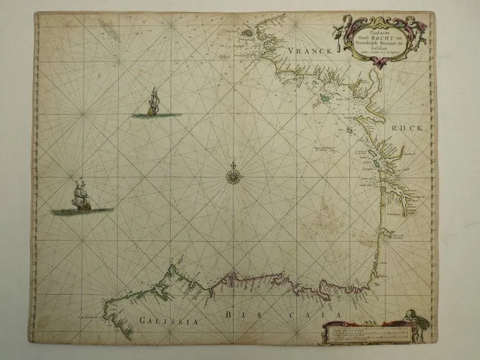
Spain - Gallicia / Euskadi / Bretagne / Isle de Ré; Johannes van Keulen - Paskaerte vande Bocht van Vranckrijck, Biscajen en Galissen. - 1681-1700
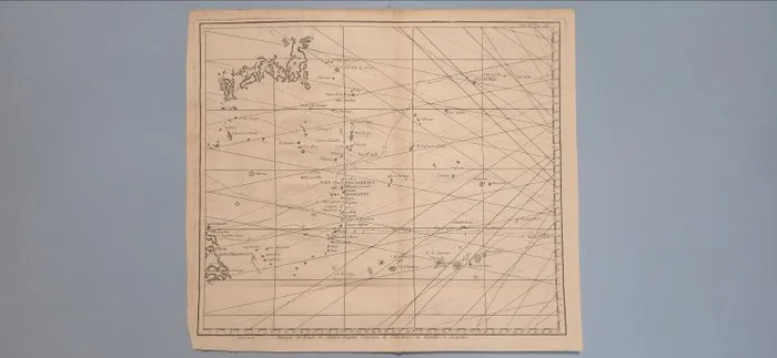
Japan - Western Pacific, Japan, Philippines; George Anson voyage account; exact engraver and publisher unconfirmed - Western Pacific chart showing the Manila galleon route - 1721-1750
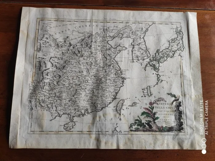
Antonio Zatta - Block carving, Mappa Impero Cinese e Isole 1784 - 52 cm - Paper - 1784
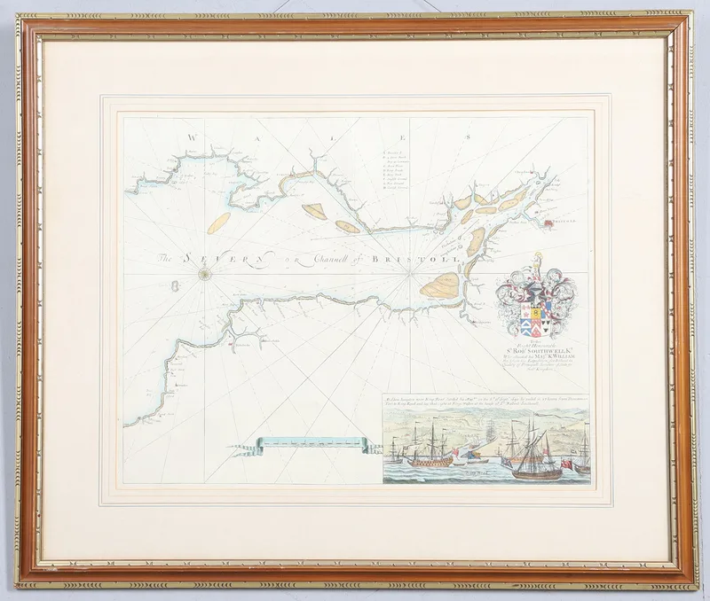
Captain Greenville Collins. 'the Severn or Chanell of Bristoll'
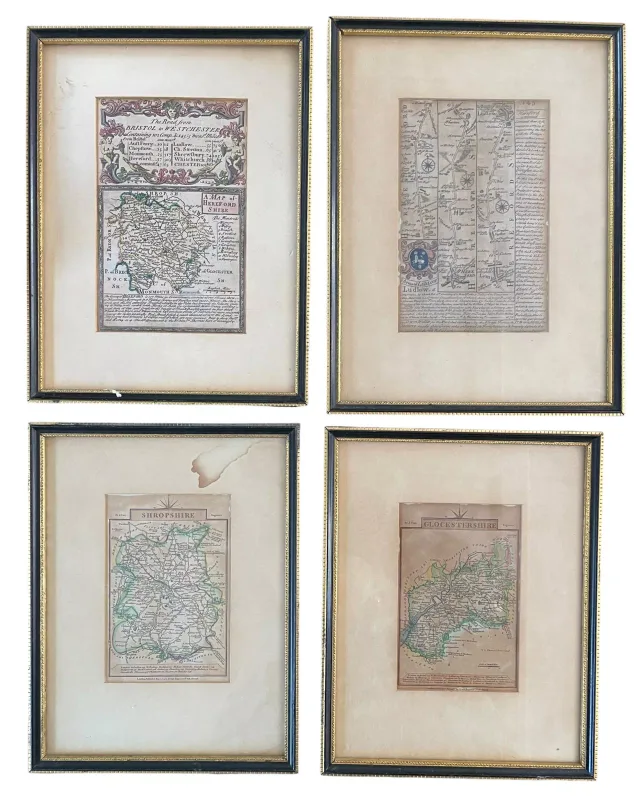
Four 18th and Early 19th Century Hand Coloured Engraved Maps & Plates
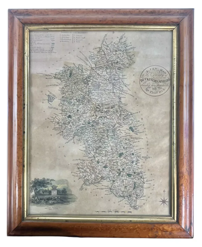
Thomas Dix - 19th Century Hand Coloured Map of Buckinghamshire
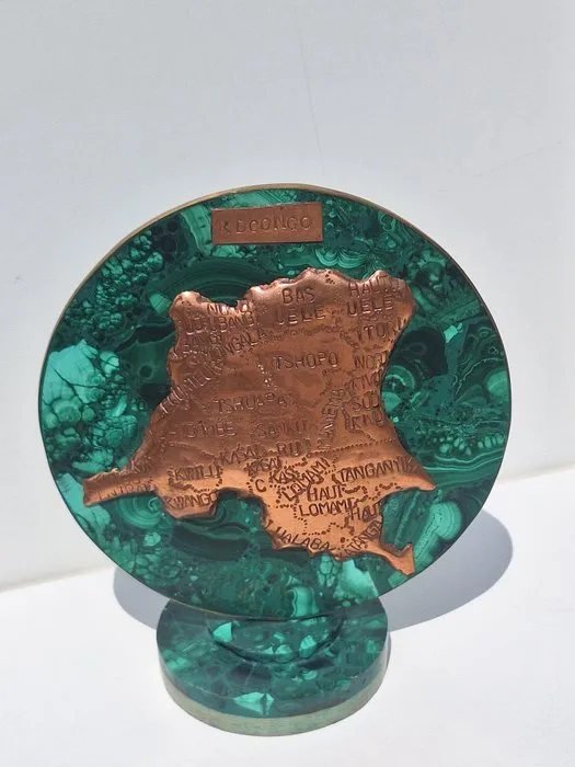
Ghana - Copper malachite card; Anders - Congo - 1921-1950
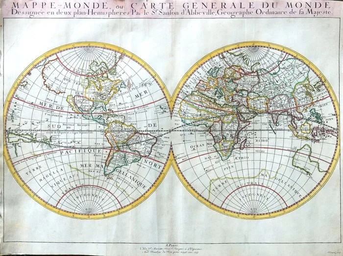
Planisfero -.; Sanson / Mariette - Mappe-Monde, ou Carte générale du Monde, dessinée en deux plan-hémisphères - 1651
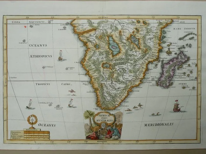
Africa - South Africa / Madagascar / Congo; Heinrich Scherer - Africa pars Australis - 1681-1700
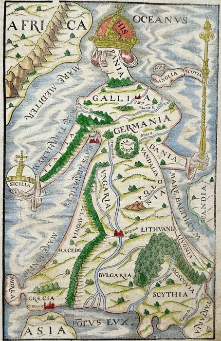
Europe - Europe; Sebastian Munster - Europa Regina, Europe Depicted as a Crowned Queen, Cosmographia (16th C.) - 1561-1580
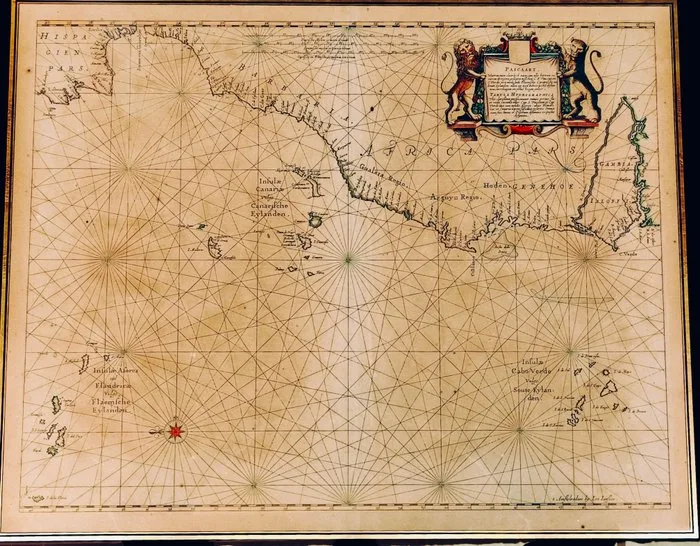
Africa - Canary Islands, Azores, Madeira, Cabo Verde, Portugal; Johannes Janssonius - Pascaart … tusschen C. S. Vincent en C. Verde / Tabula Hydrographica - 1651-1660
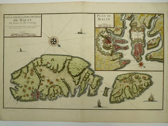
Malta - Gozo / Valletta; B. Antoine Jaillot - Carte particuliere des isle de Malte du Goze et du Cuming - 1701-1720
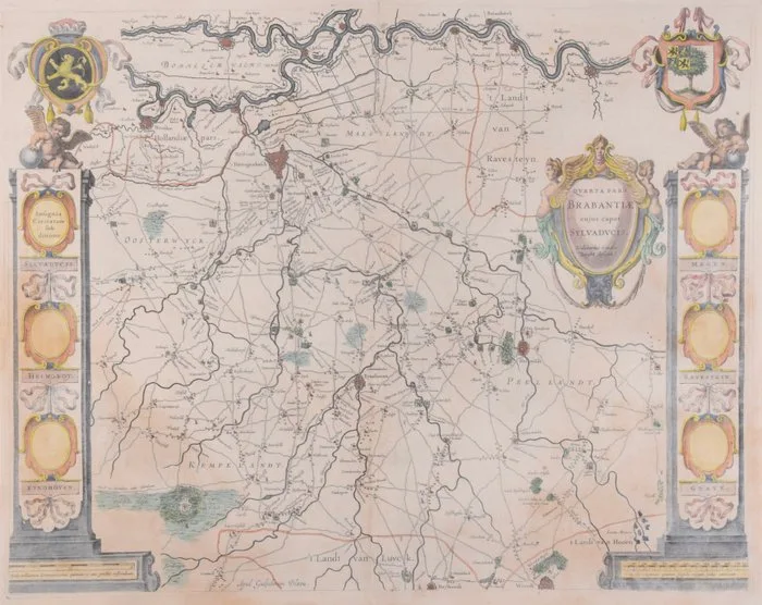
Netherlands - Brabant, 's-Hertogenbosch; Willem Jansz. Blaeu - "Quarta Pars Brabantiae cujus caput Sylvaducis" - 1621-1650
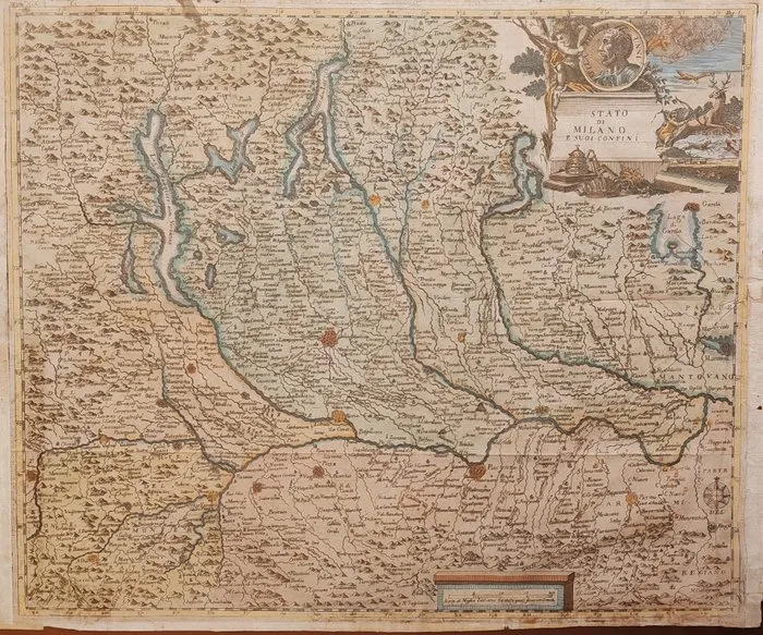
Italy - Milan, Lombardy, eastern Piedmont, the Canton of Ticino and the Prealpine lakes; Thomas Salmon (1679–1767) - Stato di Milano e suoi Confini - 1721-1750
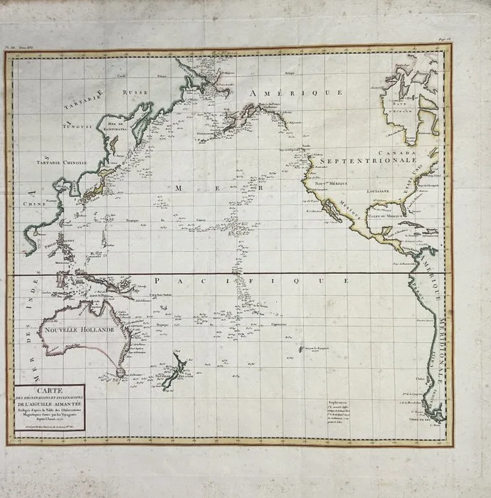
Pacific Ocean - Pacific Ocean and surrounding coasts; Antoine-François Tardieu - Map of the Pacific Ocean / Carte des Déclinaisons et Inclinaisons de l'Aiguille Aimantée - 18th century
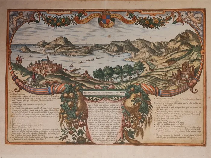
Italy - Pozzuoli, the Phlegraean Fields with the islands of Ischia and Procida in the background; Braun - Hogenberg - Nullus in orbe locus Baiis praelucet amoenis - 1581-1600
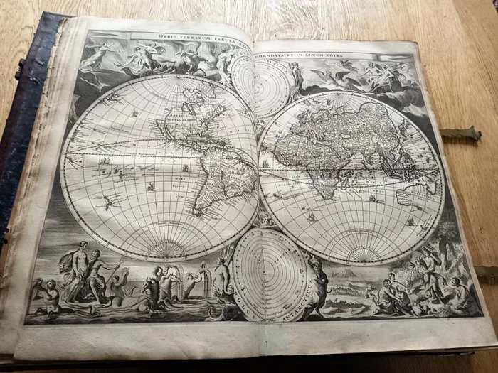
[SPECIAL WORLD-MAP WITH MYTICAL FIGURES] - Biblia, De gantsche H. Schrifture / Stoopendaal - 1682
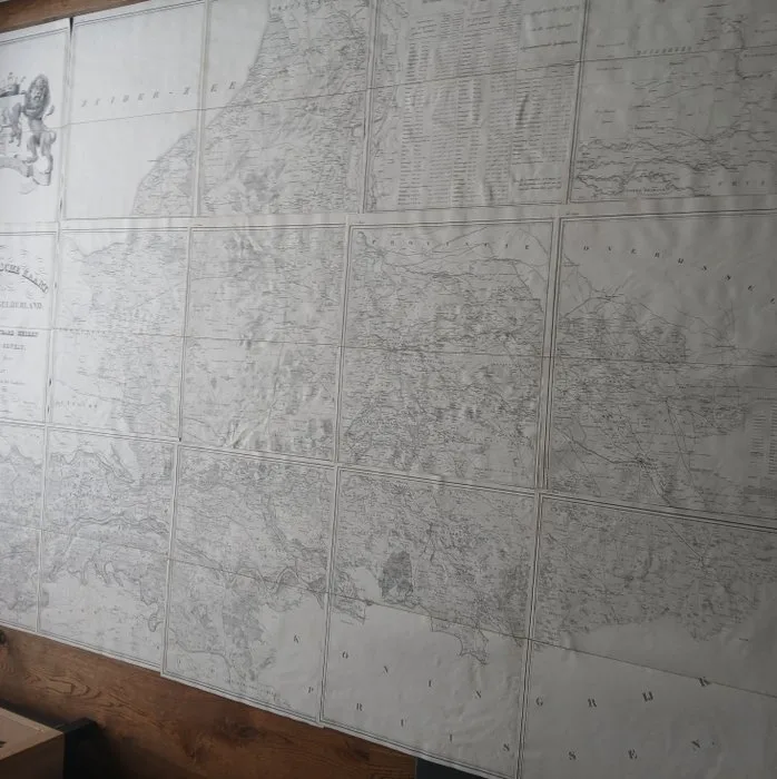
Netherlands - Gelderland Province; W. Kuyk Jzn - Topographische kaart van de provincie Gelderland 1843 - 1821-1850
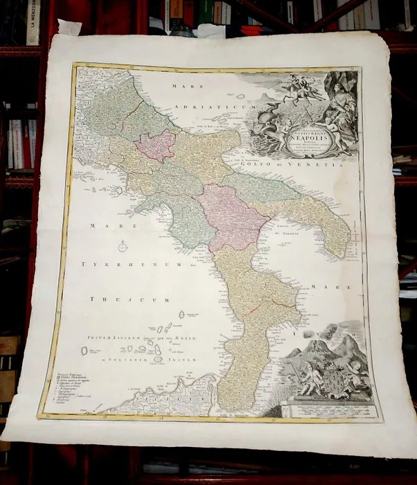
Germany - Nuremberg; Johann Baptist Homann - Novissima & exactissima Totius Regni Neapolis Tabula... Regno Due Sicilie - 1701-1720
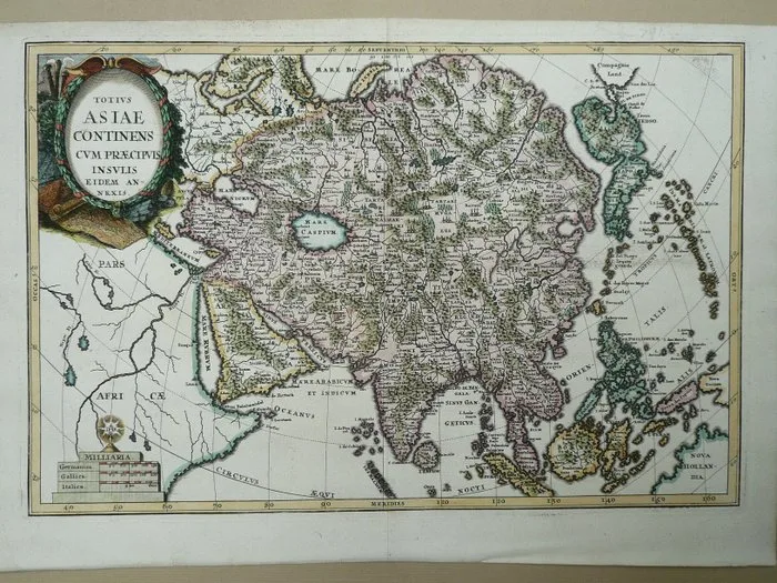
Asia - India, Indochina, Indonesia, Japan, Arabia, Australia; Heinrich Scherer - Totius Asiae continens cum praecipis insulis - 1721-1750
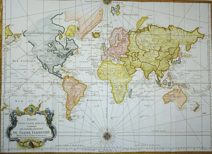
Wereld - Africa, America, Asia, Europe, Australia....; J.N. Bellin - Essay d´une Carte Reduite …Globe Terrestre - 1761-1780
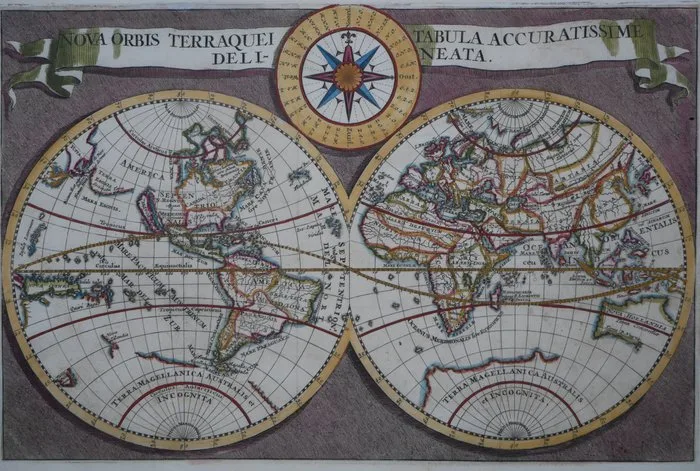
Wereld - World; naar Danckerts - Nova Orbis Terraquei Tabula Accuratissime Delineata. - c. 1685
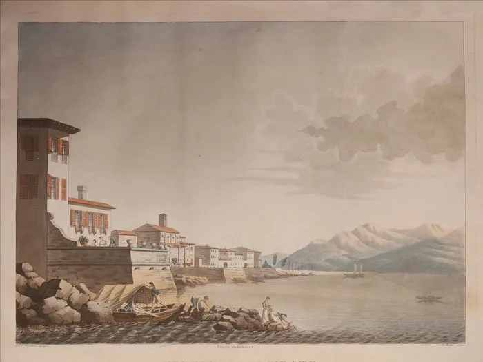
Italy - Belgirate / Lake Maggiore / Piedmont; Luigi Rados (1773 – 1840) & Gaetano Berettini (1753 – 1818) - VEDUTA DI BELGIRATE / Sul Lago Maggiore, tra Arona, e le Isole Borromee - 1801-1820
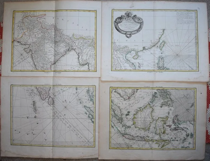
Asia - South East Asia; Bonne / Lattre - Carte Hydro-Geographique Des Indies Orientales - 1761-1780
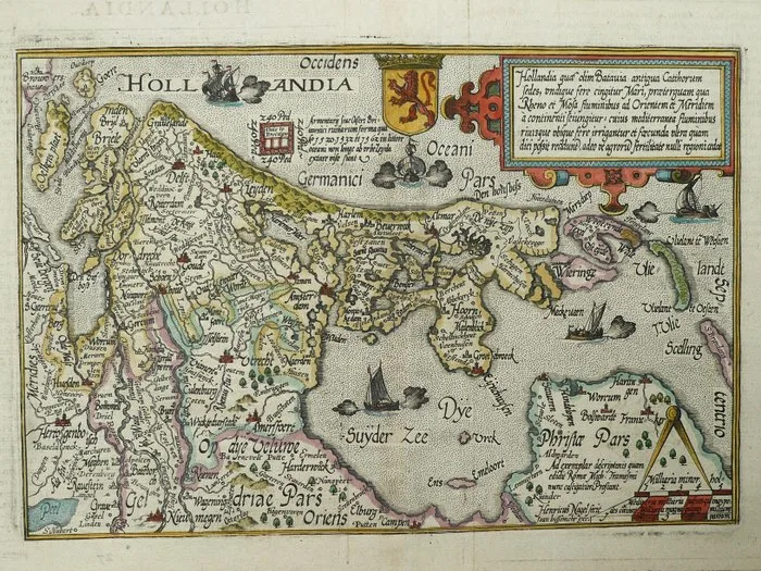
Netherlands - Holland; M. Quad / J. Bussemacher. - Hollandia - 1581-1600
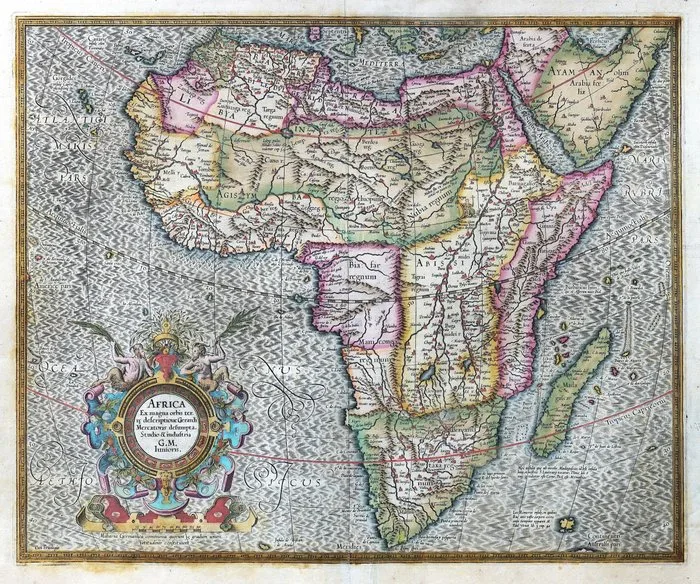
Africa -.; Mercator - Africa. Ex magna orbis terre descriptione Gerardi Mercatoris desumpta, Studio & industria G. M. - 1601-1620
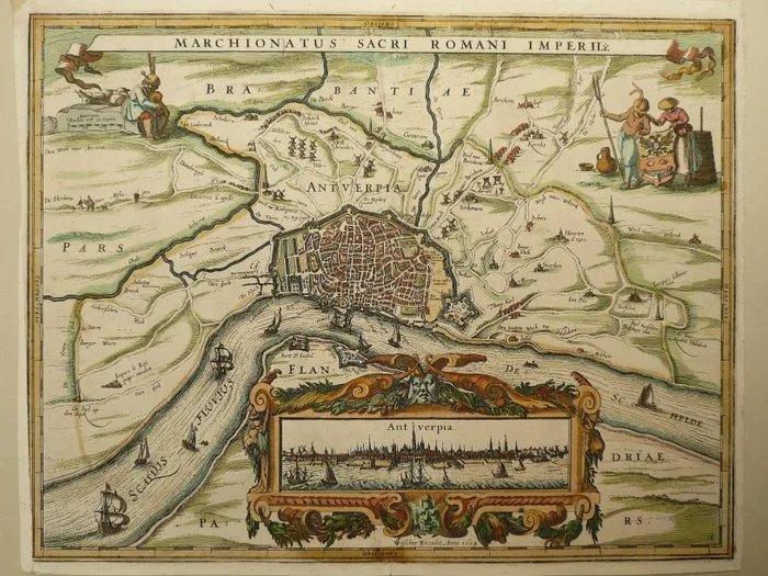
Europe - Belgium / Antwerp; Petrus Kaerius / C.J. Visscher. - Marchionatus Sacri Romani Imperii - 1621-1650
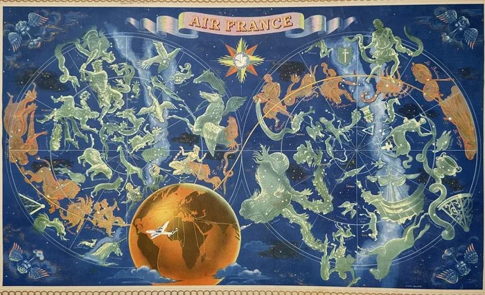
Lucien Boucher - Air France Planisphere, Star Charts with Constellations and World Air Routes, Boucher – Lithograph
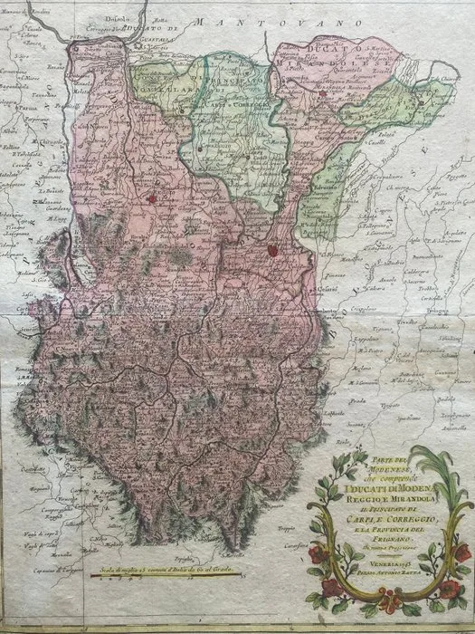
Italy - Modena, Reggio, Mirandola, Carpi, Correggio, Novellara, Sassuolo, Formigine, Vignola, Pavullo.; Antonio Zatta - Parte del Modenese, che comprende I Ducati di Modena, Reggio, e Mirandola, il Principato di Carpi, - 1781-1800
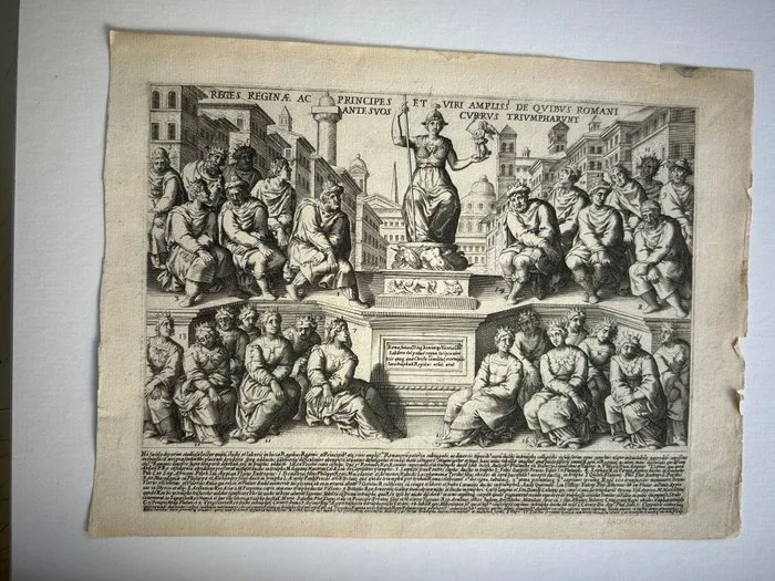
Italy - ROME /Cleopatra Selene / Alexander Helios / Vercingetorix / Juba II / Perseus of Macedon / Tigranes; Giacomo Lauro (circa 1583–1650) - REGES REGINÆ AC PRINCIPES ET VIRI AMPLIß. DE QVIBVS ROMANI CVRRVS TRIVMPHARVNT - 1601-1620
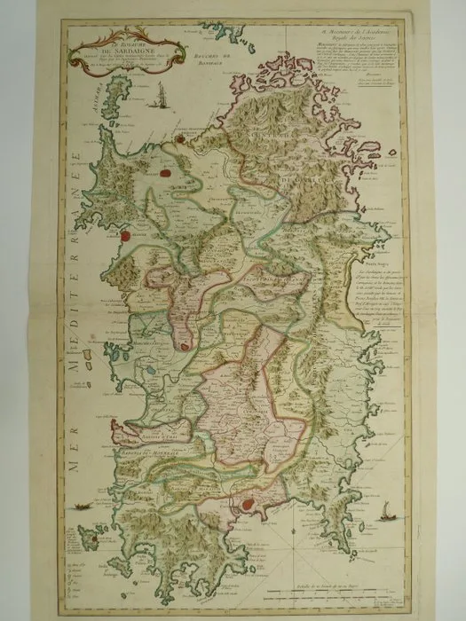
Italy - Sardegna; G.L. Le Rouge - Le Royaume de Sardaigne - 1721-1750
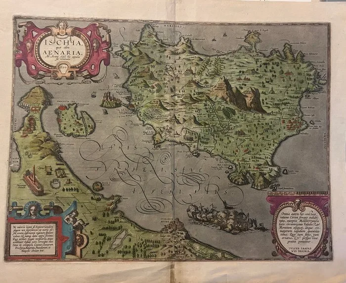
Italy - Campania // ISCHIA island extremely rare English edition; Abraham Ortelius (Anversa, 1528 – 1598) - ISCHIA, quae olim AENARIA. Ab Aeneae classe hic appulsa sic nominata. - 1601-1620
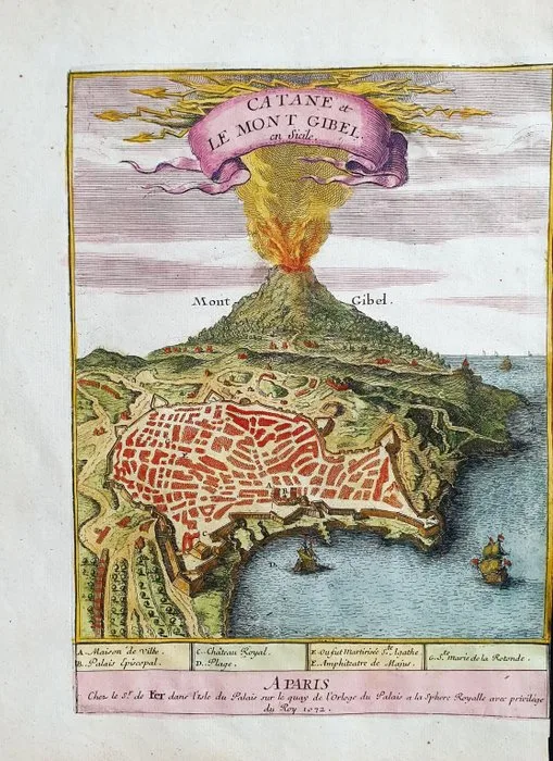
Europe - Italy, Sicily, Catania, Etna; Nicolas de Fer - Catane et le Mont Gibel - 1701-1720
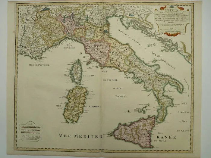
Italy - Corsica / Sardegna / Sicilia; H. Jaillot - L'Italie divisée en ses principaux estats, royaumes et republiques - 1701-1720
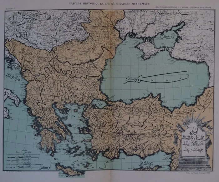
Türkiye - Ottoman Empire; Zadig Khanzadian - Atlas de géographie économique de la Turquie - 1921-1950
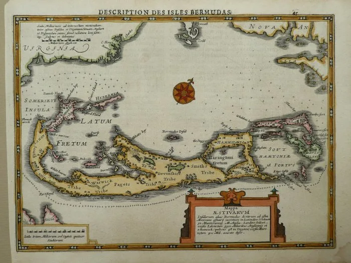
Bermuda - Hamilton; Petrus Kaerius / J.E. Cloppenburg - Mappa Aestiuarum Insularum alias Bermudas - 1632
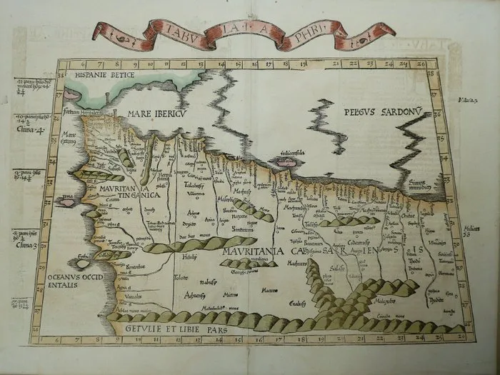
Africa - Morocco / Malta / Gibraltar / Lybia / Tunesia / Algeria; Claudius Ptolomaeus / Konrad Sweinheim - Tabula Aphri - 1481-1500
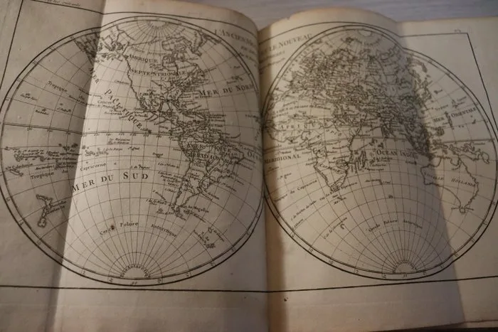
RAYNAL (Abbé) - ATLAS DE TOUTES LES PARTIES CONNUES DU GLOBE TERRESTRE, - 1780-1780
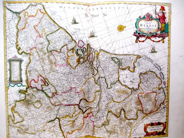
De Nederlanden der XVII Provinciën - Netherlands, Belgium and Luxembourg; Janssonius van Waesberge - " Nova Totius BELGII sive Germaniae Inferioris (1681) - 1681-1700
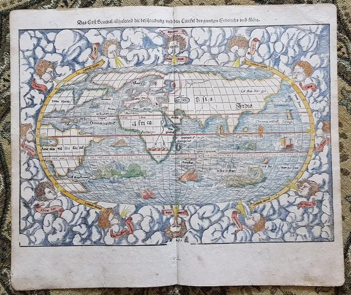
World, America - Africa - Europe - Asia - World map; Sebastian Münster - World map - 1581-1600
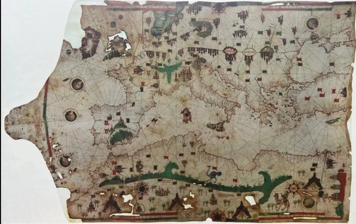
Europe - Germany; Belser Verlag - hochwertige Reproduktion der Seekarte des Lehuda ben-Zara (BORGIANO VII) - 1481-1500
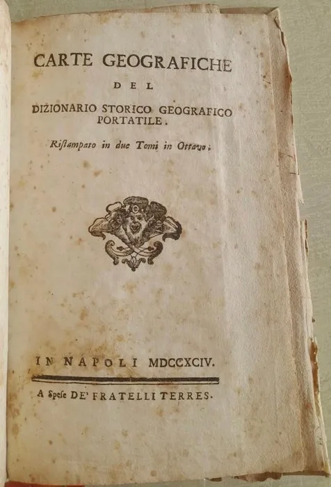
Laurence Echard (traduzione italiana) - Atlante del Dizionario Storico Geografico Portatile - Napoli, 1794 (COMPLETO) - 1794
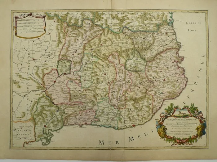
Spain - Catalunya / Barcelona / Lerida / Tortosa; H. Jaillot - Principauté de Catalogne (...) - 1701-1720
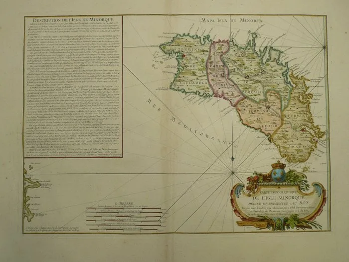
Spain - Menorca / Balearic Island / Mediterranean; Jean de Beaurain - Carte Topographique de L'Isle Minorque - 1721-1750
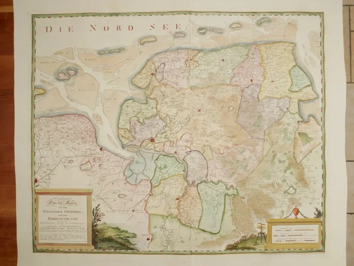
Germany - Northern Germany; Covens en Mortier - Neue geographische Special-Karte von dem Fürstenth - 1804
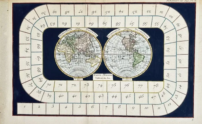
World - Rare Hand-colored World Map Board Game; Jacques Lacombe - Double-Hemisphere Map with Spiral Track, Encyclopédie Méthodique (18th C.) - 18th century
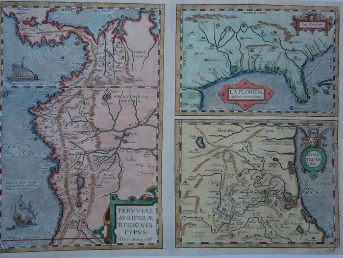
Midden America - Florida, Peru; Abraham Ortelius - Peruviae Auriferae Regionis Typus. Didaco Mendezio Auctore - La Florida. - 1574
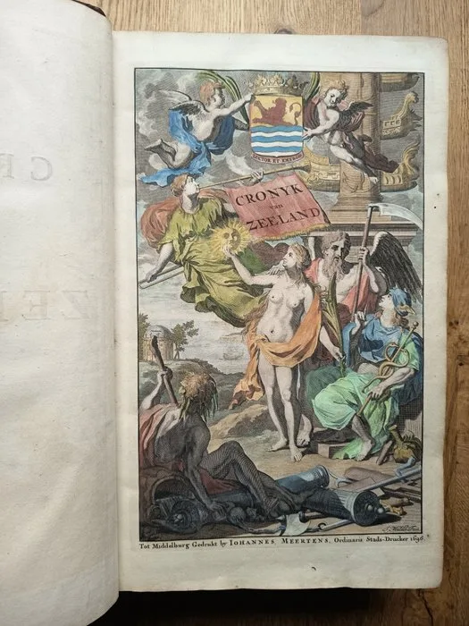
Mattheus Smallegange / Gerard de Lairesse & Joseph Mulder - [PRENTEN & KAARTENBOEK ZEELAND] Nieuwe cronyk van Zeeland - 1696