Maps
Original antique maps and book leaves from the 1490s to the late 1800s, by cartographers such as Münster, Mercator and Hondius, Sanson, Homann and Chatelain.
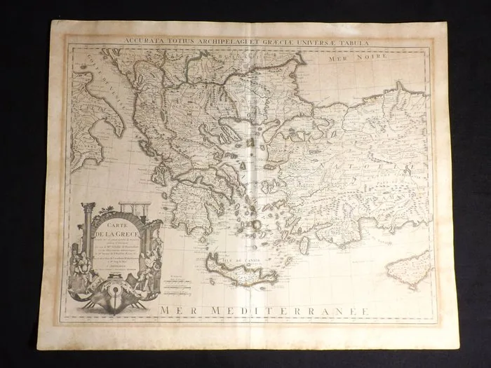
Netherlands - Amsterdam; Guillaume de L'Isle / Covens & Mortier - Accurata Totius Archipelagi et Græciæ Universæ Tabula - 1721-1750
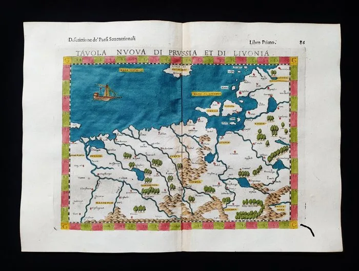
Europe - Eastern Europe / Poland / Lithuania / Vilnius / Krakow / Russia / Baltic Sea / Livonia; Rosaccio / Magini / Tolomeo - Tavola Nuova di Prussia et di Livonia - 1581-1600
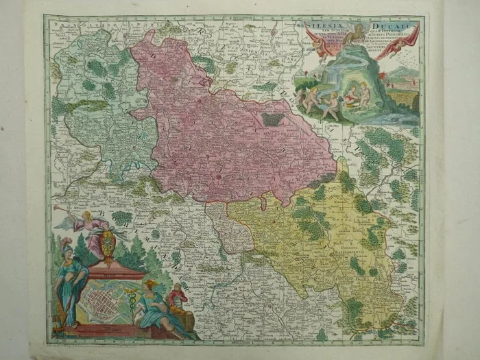
Poland - Silesia / Wrocław; M. Seutter - Silesia Ducatus - 1721-1750
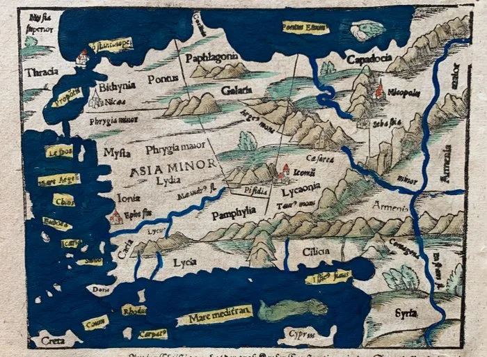
Türkiye - Turkey; Sebastian Münster - (Asia minor). - 1581-1600
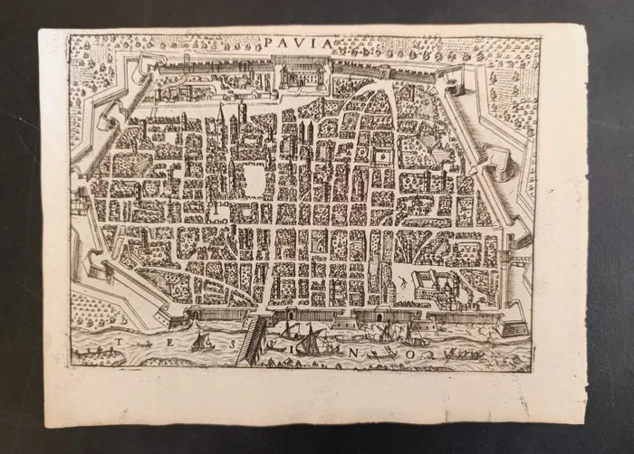
Europe - Italy/Pavia; Francesco Bertelli - Pavia - 1621-1650
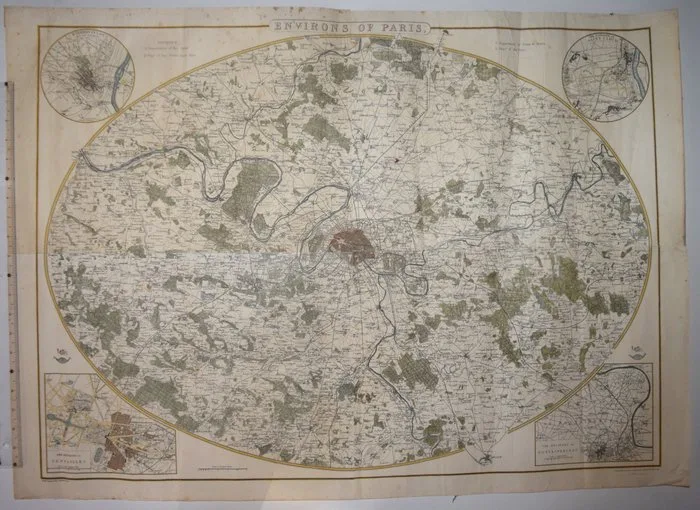
France - Paris; John Dower / Edward Weller - Environs of Paris - 1861-1880
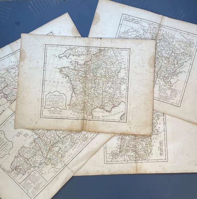
France - Batch of 5: France after the French Revolution and Separate Provinces; Robert de Vaugondy/ Charles Francois Delamarche - La France - Normandie, Bretagne/ Berri, Nivernois, Bourbonois,/ Poitou, Aunis/ Haut et Bas - 1781-1800
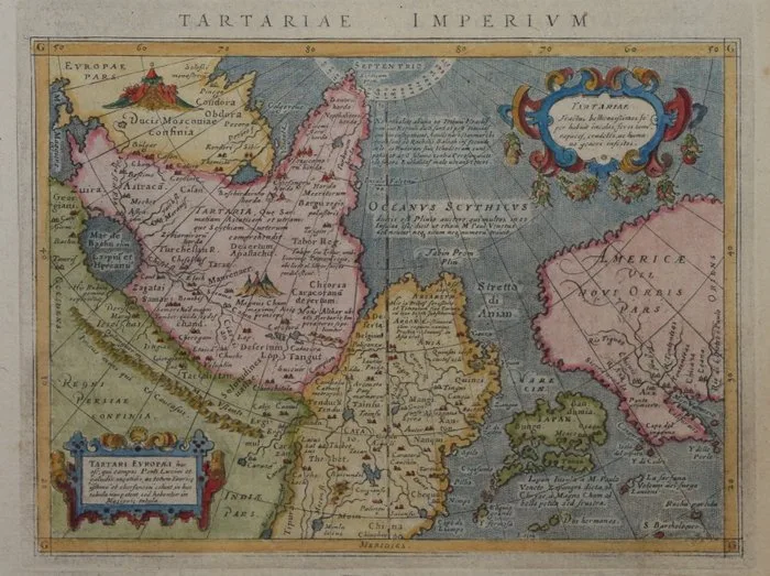
Asia - North America, Japan, Tartary.; Magini - Tartariae Imperium - 1601-1620
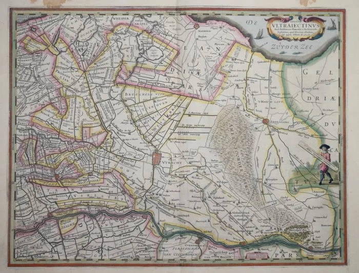
Netherlands - Utrecht; Hondius - Episcop. Ultraiectinus... - 1621-1650
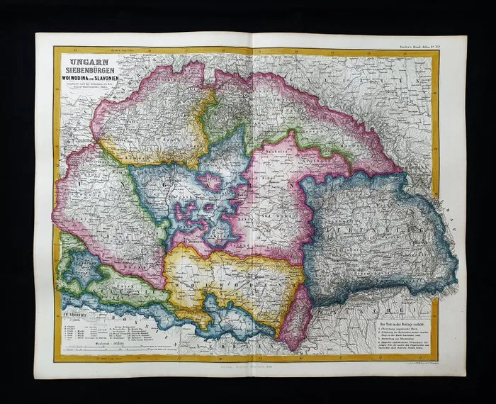
Europe - Eastern Europe / Hungary / Budapest / Croatia / Bosnia / Romania; A. Stieler / G.J. Perthes - (1858) - Ungarn..... 1858 - 1861-1880
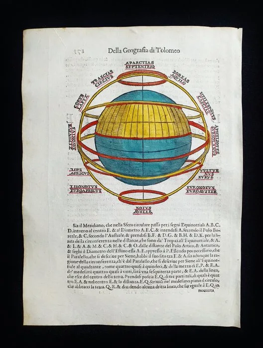
World-map - Armillary Sphere / World Map; Ruscelli / Magini / Sessa / Tolomeo - Descrittione della Sfera Armillare con la Terra Habitabile - 1581-1600
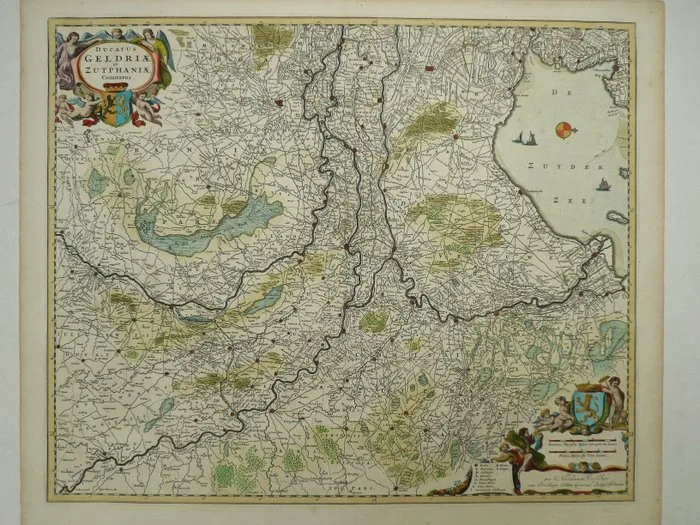
Netherlands - Gelderland; Nicolaas Visscher - Ducatus Geldriae et Zutphaniae Comitatus - 1684
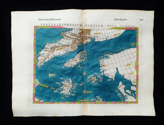
North Sea - North Europe / Glacial Sea / Iceland / Norway / Scandinavia; Rosaccio / Magini / Tolomeo - Septentrionalium Partium, Nova Tabulae - 1581-1600
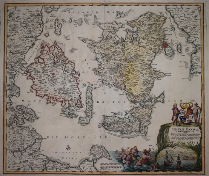
Denmark - Danish Islands in the Baltic.; Johann Baptist Homann - Insulae Danicae in Mari Balthico Sitae, utpote Zeelandia, Fionia, Langelandia, Lalandia, Falstria, - 1721-1750
![Italy - Venice; Imago Editore - Mappamondo di Fra' Mauro [edizione in facsimile] - 1441-1460](https://img.fancybonnet.com/8747076e-00b1-4f0a-9be0-955b1938681a/card.webp)
Italy - Venice; Imago Editore - Mappamondo di Fra' Mauro [edizione in facsimile] - 1441-1460
![Italy - ROME; Thomas Salmon - [Veduta del Palazzo della gran Curia a Monte Citorio in Roma] - 1751-1760](https://img.fancybonnet.com/71133756-769c-4e41-8231-4f9c09414910/card.webp)
Italy - ROME; Thomas Salmon - [Veduta del Palazzo della gran Curia a Monte Citorio in Roma] - 1751-1760
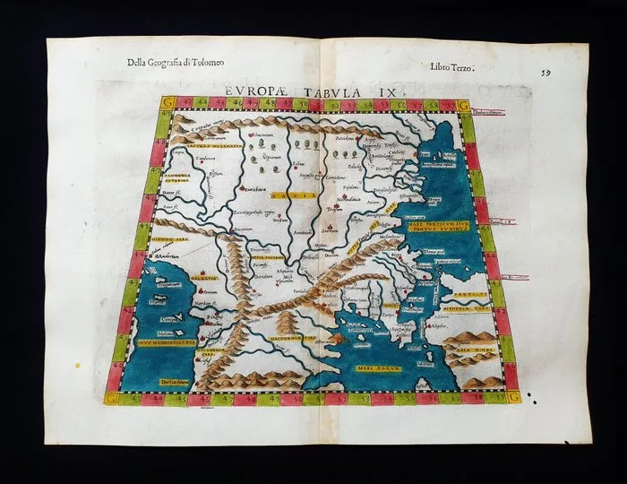
Europe - Eastern Europe / Balkans / Bulgaria / Romania / Croatia / Macedonia / Kosovo; Rosaccio / Magini / Tolomeo - Europae Tabula IX - 1581-1600
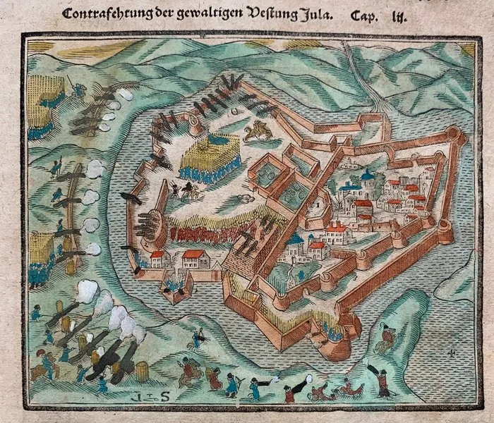
Hungary - Gyula, Sziget; Sebastian Münster - Contrafehtung der gewaltigen Vestung Jula/ Der Statt und Schloss Zigeth gelegenheit/ sampt des - 1581-1600
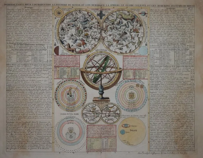
Celestial - Celestial chart.; Henri Abraham Chatelain - Globe Celeste - 1701-1720
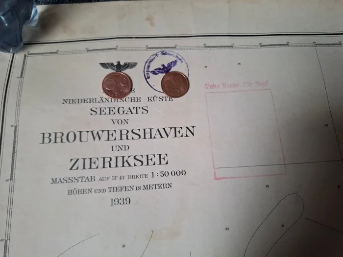
Maritime object - Paper- Nautical chart of the German Navy
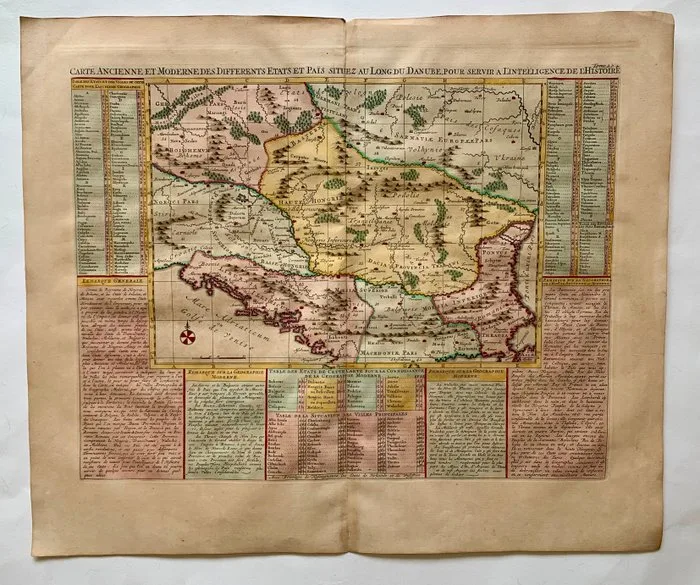
The Balkans - The Danube River; H. Chatelain - Carte ancienne et moderne des differents etats et païs situez au long du Danube, pour servir a - 1701-1720
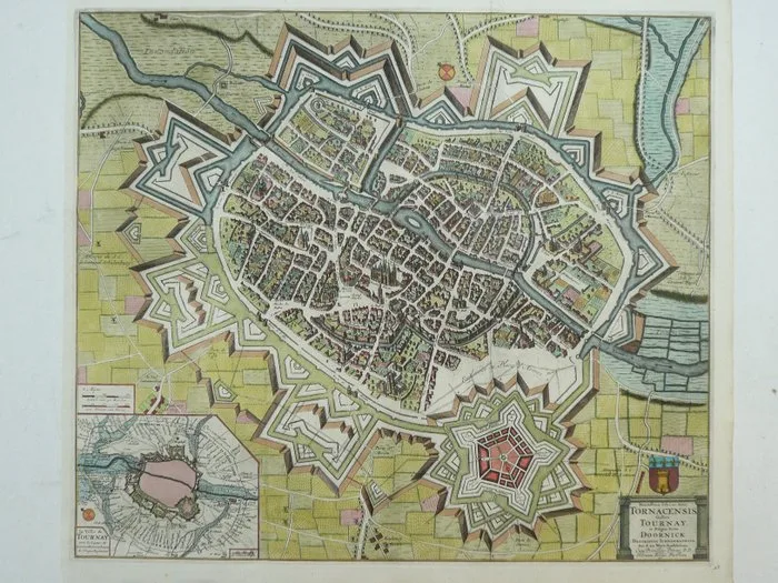
Belgium - Doornik; Pieter Vander Aa - Munitissimae Urbis ac Arcis Tornacensis gallice Tournay et Belgice dictae Doornick - 1701-1720
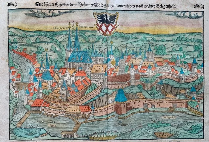
Hungary - Eger, Cheb; Sebastian Münster - Die Statt Eger vor dem Behemer Wald gelegen/ contrafehtet nach jetziger Gelegenheit. - 1581-1600
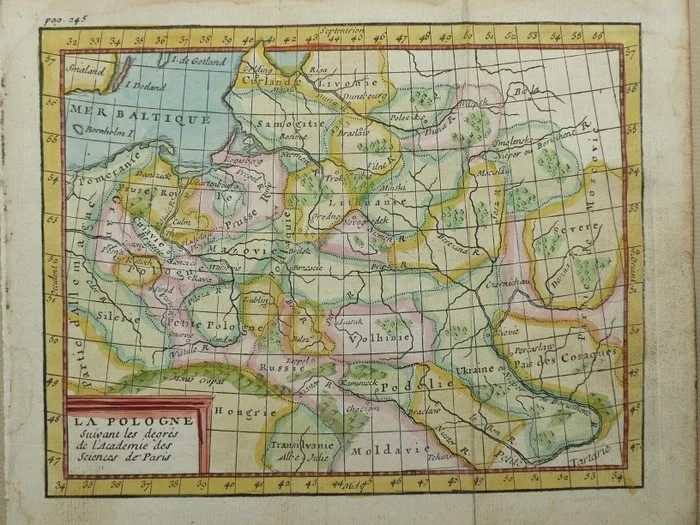
Poland - Lithuania; Claude Buffier - La Pologne - 1751-1760
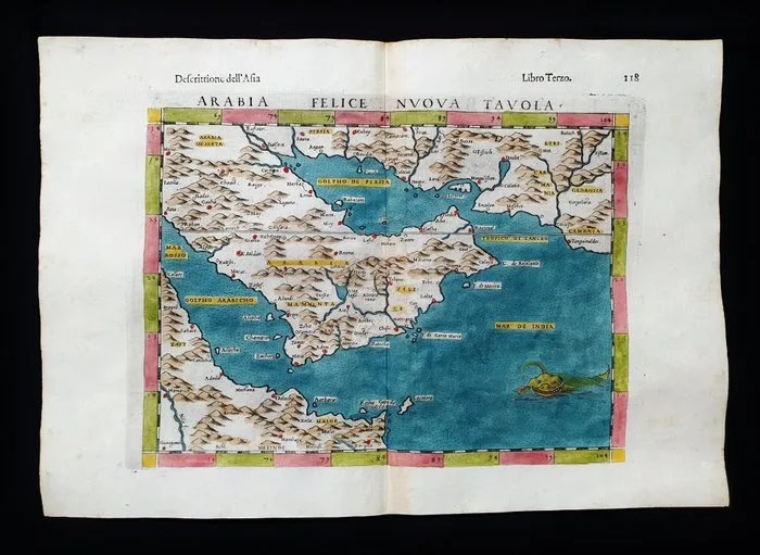
Asia - Middle East / Saudi Arabia / Oman / Qatar / Yemen / Emirates / Asia Minor; Rosaccio / Magini / Tolomeo - Arabia Felice Nuova Tavola - 1581-1600
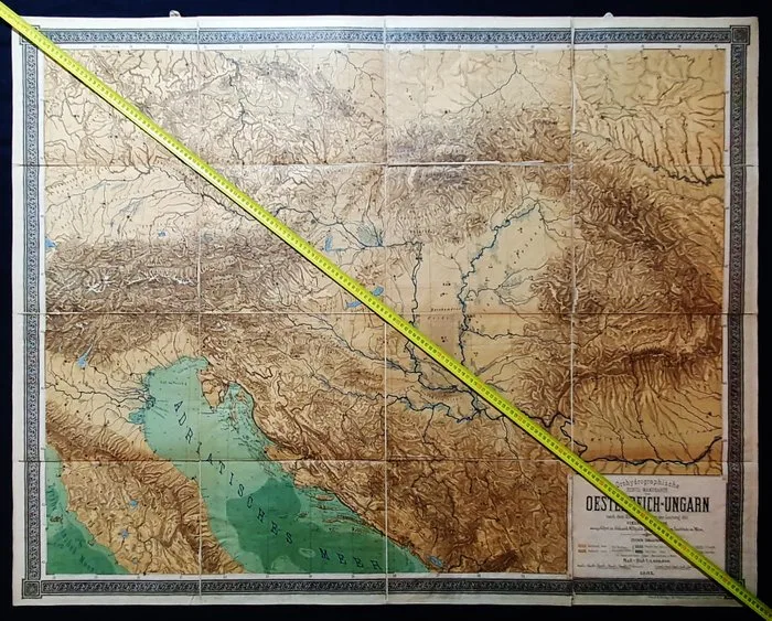
Europe - Balkans / Austria / Eastern Europe / Hungary / Macedonia / Istria / Croatia / Romania; HEINRICH / RICHARD KIEPERT - Large format - Orohydrographische Wandkarte von Oesterreich - Ungarn...... 1885 - 1861-1880
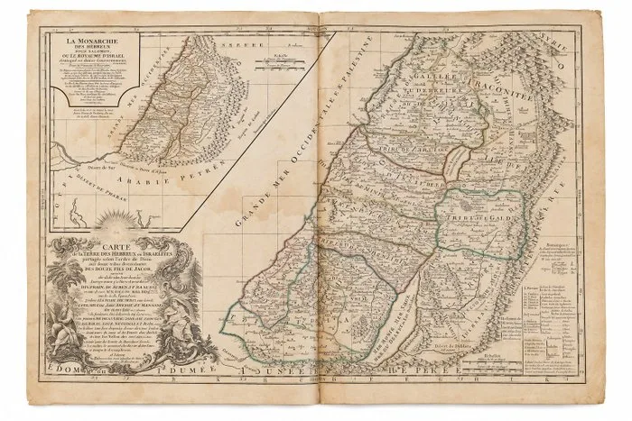
Gibraltar - Holy Land / Palestine / Kingdom of Israel; Robert de Vaugondy - Terre Sainte / Palestine / Royaume d’Israël - 1721-1750
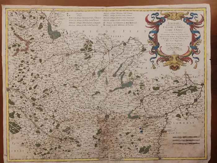
France - Northern France / Artois Region; Nicolas Sanson d'Abbeville (1600–1667) - ATREBATES. EVESCHE D'ARRAS. Comté d'Artois, distingué en ses l'es Iuridictions, tant du Gouvernance - 1651-1660
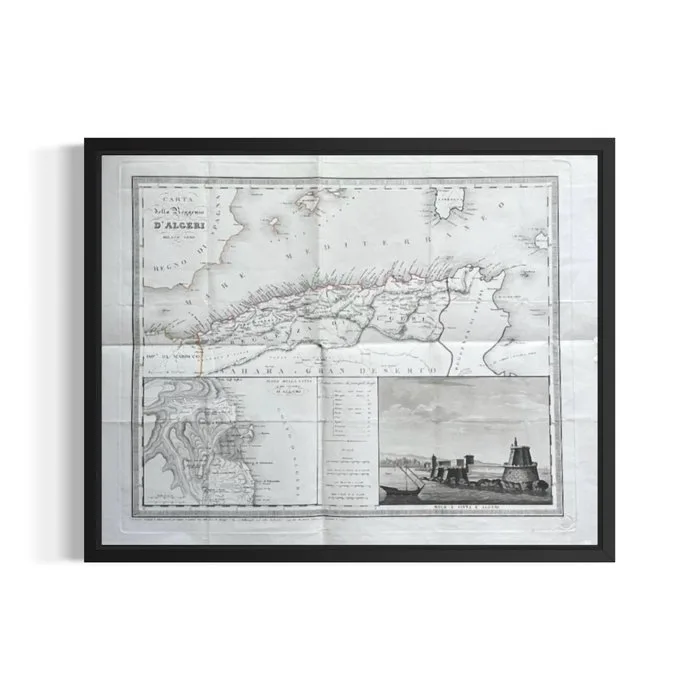
Algeria - Charter of the Regency of Algiers; Molo è città di Algeri - Algeri - 1821-1850
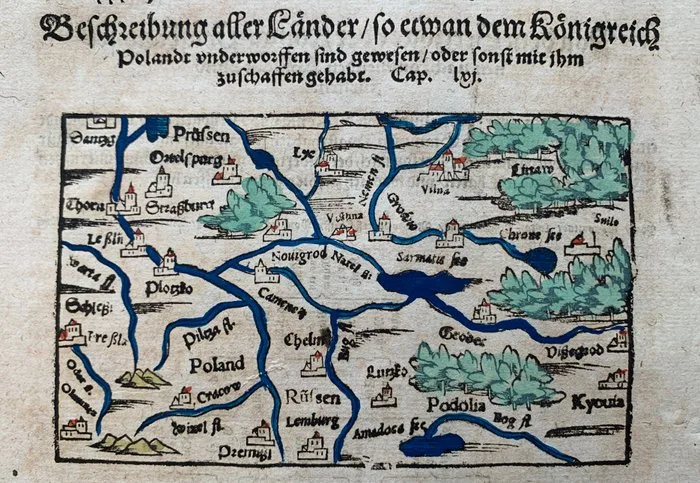
Poland - Eastern Europe; Sebastian Münster - Beschreibung aller Länder/so etwan dem Königreich Polandt underworffen sind gewesen/ oder sonst mit - 1581-1600
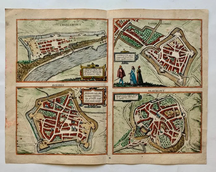
France - Charlemont, Landrecy, Avesnes, and Beaumont; Georg Braun & Frans Hogenberg - Carlomontium/ Landrecium Aveniae / Bellomontium. - 1561-1580
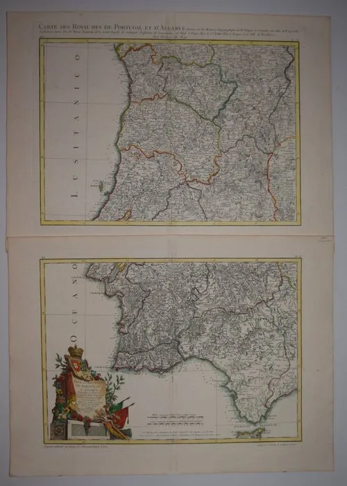
Portugal - Portugal; Zannoni - MAPA DOS REYNOS DE PORTUGAL E ALGARVE.. - 1761-1780
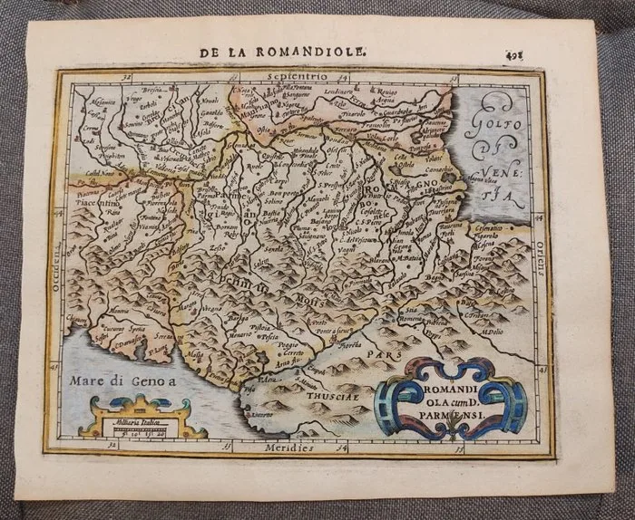
Italy - Italy, Parma, Bologna, Florence, Modena, Piacenza, Pisa, Apennines; Hondius/Mercator - Romandiola cum D. Parmensi - 1601-1620
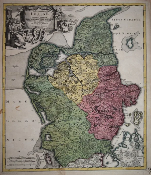
Denmark - Jutland; Johann Baptist Homann - Tabula Generalis Iutiae continens Dioecenses Quatuor, Alburgensem, Wiburgensem, Ripensem et - 1721-1750
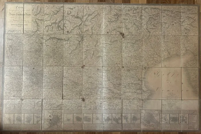
Italy - Kingdom of Lombardy-Venetia; Giovanni Brenna (direzione), C. Pinchetti (disegno), Giuseppe Pezze (incisione) - Carta Geografica e Postale del Regno Lombardo-Veneto Compilata sulle migliori carte generali e - 1821-1850
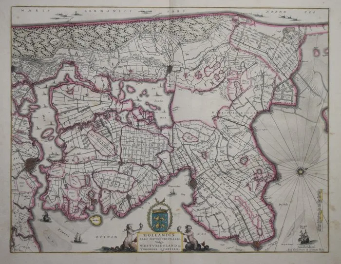
Netherlands - Northern Holland; Blaeu - Hollandiae Pars Septentrionalis, Vulgo WestVriesland en 'T Noorder Quartier - 1621-1650
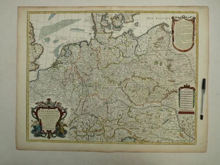
Germany - Poland; Guillaume Delisle - L'Allemagne dresseé sur les observations de Tycho Brahe (...) - 1701-1720
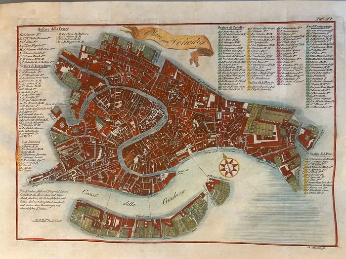
Italy - Venice; Johann (Joannes) Paszka; attivo a Praga nella metà del XVIII Secolo, ca. 1740-1770). - Plan von Venedig (Pianta di Venezia) - 1721-1750
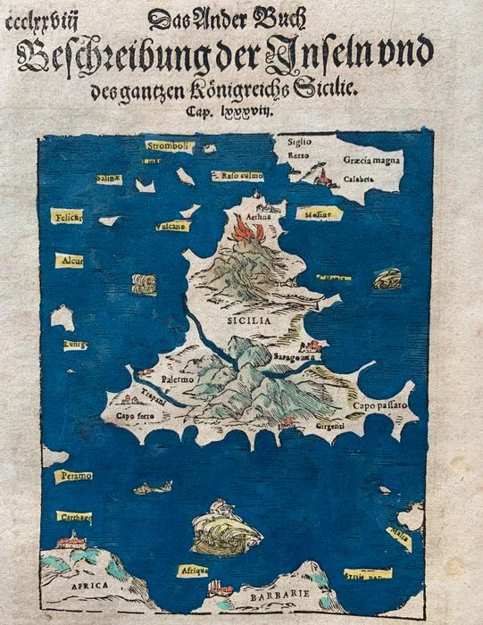
Italy - Sicily, Elba; Sebastian Münster - Beschreibung der Inseln und des gantzen Königreichs Sicilie / Der Insel Jlne oder Elbe Beschreibung - 1581-1600
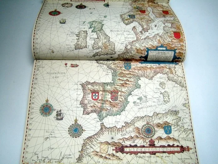
Europe - Sea charts; Lucas Jansz. Waghenaer - Spieghel der Zeevaerdt - 1961-1980
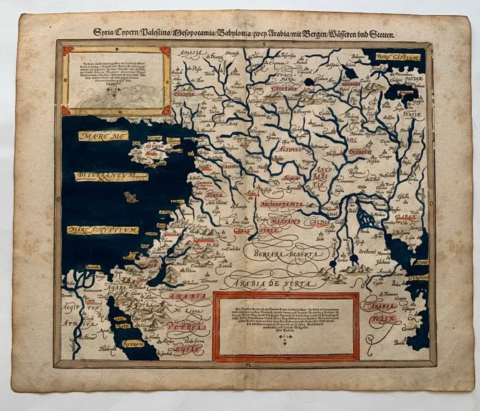
Middle East - Cyprus, Syria, Palestia; Sebastian Münster - Syria/ Cypern/ Palestina/ Mesopotamia/ Babylonia/ zwey Arabia/ mit Bergen/ Wässern und Stetten. - 1581-1600
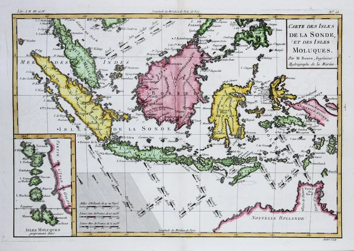
Indonesia - Indonesia - Maluku.; Rigobert Bonne, - Carte des Isles de la Sonde et des Isles Moluques - 1781-1800
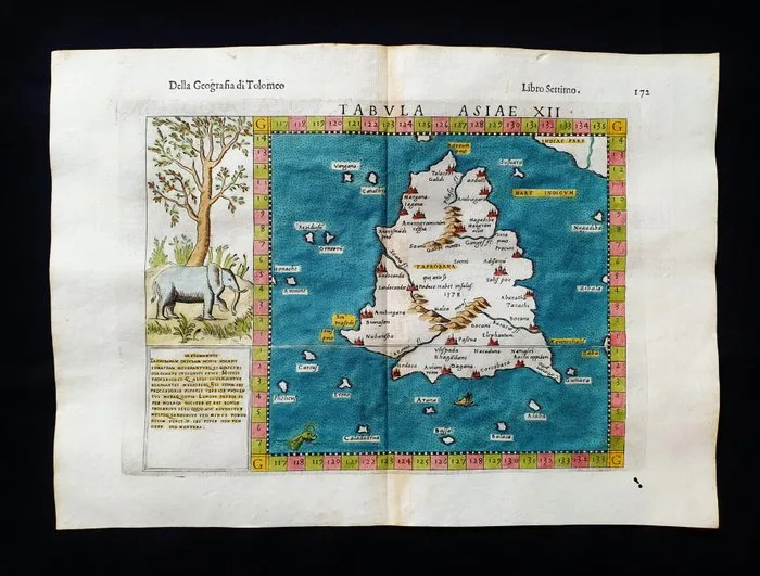
Asia - India / Sri Lanka / Ceylon / Colombo; Ruscelli - Magini - Malombra - Tolomeo - Tabula Asiae XII - 1581-1600
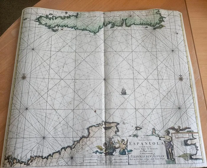
Dominican Republic - Caribbean region; Johannes van Keulen - Espaniola - 1681-1700
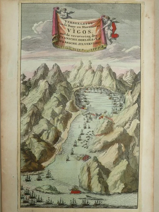
Europe - Spain / Galicia / Vigo; David Weege - Verbeelding van de Baay en Haven van Vigos (...) - 1751-1760
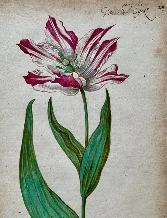
World - Tulip Mania / Dutch Golden Age; Anonymous Dutch artist - Van Der Eyck - 1621-1650
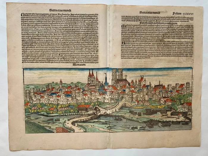
Germany - Munich; Hartmann Schedel/ Wohlgemut/ Pleydenwurff/Dürer - The Nuremberg Chronicle (Liber Chronicarum) - 1493
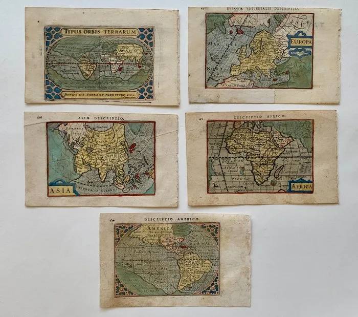
World and Continents - World, Europe, Asia, Africa, America; P. Bertius - Typus Orbis Terrarum; Africa; Asia; Europa; Descriptio Americae. - 1601-1620
What is in Maps
Most maps here are original sheets from printed atlases and books made between the late 1400s and 1800. Leaves from Hartmann Schedel's Nuremberg Chronicle of 1493 are among the earliest. Sixteenth-century work includes Sebastian Münster, Abraham Ortelius and Italian editions of Ptolemy; the seventeenth century brings Mercator and Hondius, Bertius and the Sansons; the eighteenth century Homann, Chatelain, Bonne and De L'Isle. Subjects range from world maps and sea charts to regional maps of Italy, Spain, France, Germany and the East Indies, California drawn as an island, city views and natural history leaves.
Reading a listing
- Cartographer: the mapmaker or publisher.
- Date range: the period of the atlas edition the sheet comes from.
- Height and width: sheet size in centimetres; many are around 35 to 50 cm.
- Condition: usually good or excellent.
What to check before buying
Colour on antique maps is either original, applied by hand when the map was issued, or added later. Both are common, and original colour is generally worth more. A vertical centrefold is normal, because most maps were bound into atlases. Look for margins wide enough to frame, tears or repairs along the fold, browning, and text printed on the back, which shows the map came from a book. Frame with acid-free mounts and UV-filtering glass to keep the colour from fading.
Prices
Most maps here are between EUR 500 and EUR 1,200.
Frequently asked questions
How can I tell an antique map from a reproduction?
Original copperplate maps show a plate mark and slightly raised printed lines, and woodcuts show a pressed-in impression. Old hand-made paper shows chain lines when held against light, and many maps have atlas text printed on the back. Reproductions usually show a dot pattern from modern printing under a magnifier and are on smooth, uniform paper.
Is a centrefold a defect on an old map?
No. Most antique maps were printed for atlases and bound in along a central fold, so a vertical fold is expected and normal. What matters is whether the fold has split, been repaired or discoloured. Collectors accept a clean original fold without any reduction in value.
Why did old maps show California as an island?
From the early 1600s, many European maps drew California as a large island separated from the mainland, a mistake based on early Spanish reports that was copied from map to map. The error lasted into the mid-1700s. Maps showing California as an island are a popular collecting theme in their own right.