Maps
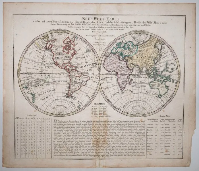
World; Homann Heirs - Neue Welt-Karte - 1801-1820
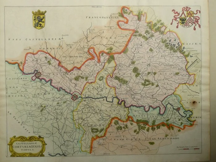
Belgium - Kortrijk / Menen / Deinze; Onbekend. - Castellaniae Corturiacensis Tabula - 1661-1680
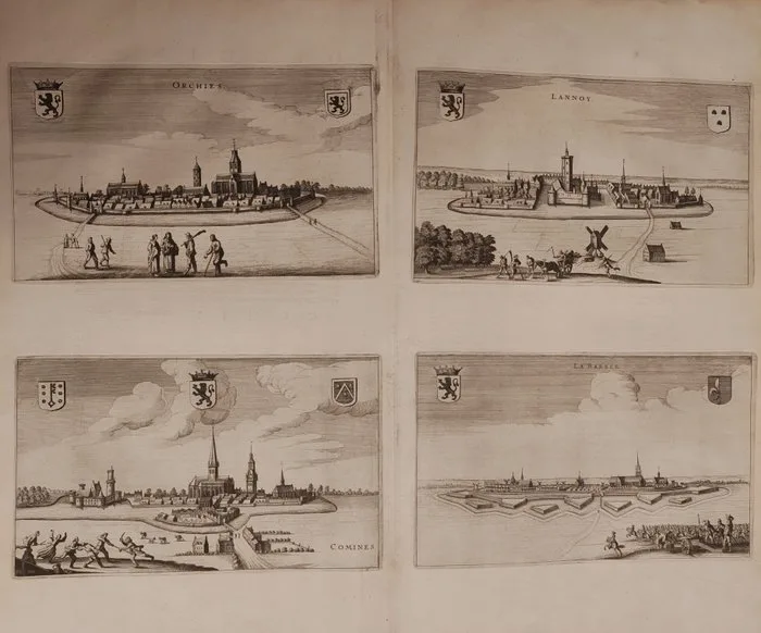
Belgio / Fiandre / Paesi Bassi - Orchies, Lannoy, Comines and La Bassée; Joan Blaeu (1596–1673) - Orchies / Lannoy / Comines / La Bassée - 1651-1660
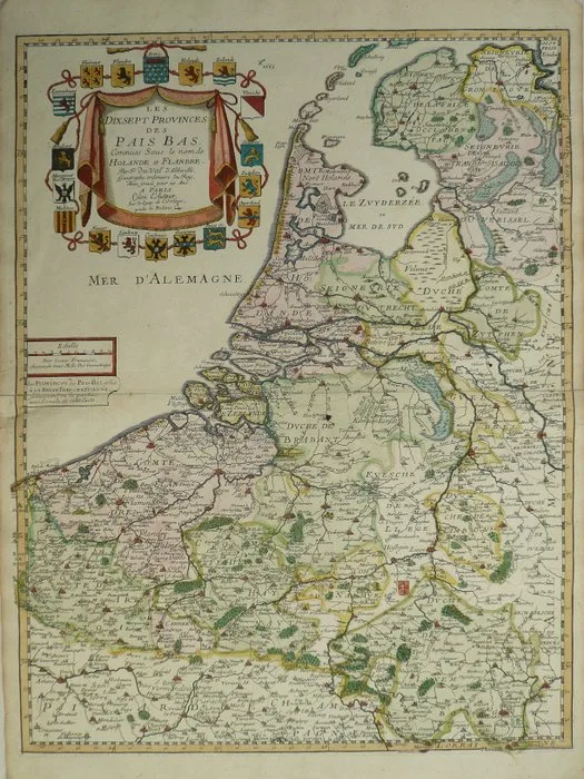
Netherlands - Belgium, Luxembourg; Pierre Duval - Les dixsept Provinces des Pais Bas Duval - 1761-1780
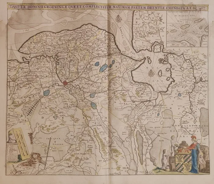
Paesi Bassi / Olanda - Groninga, Drenthe; Frederick de Wit (1630–1706) - Tabula Dominii Groeningae quae et complectitur maximam partem Drentiae emendata a F. de Wit - 1681-1700
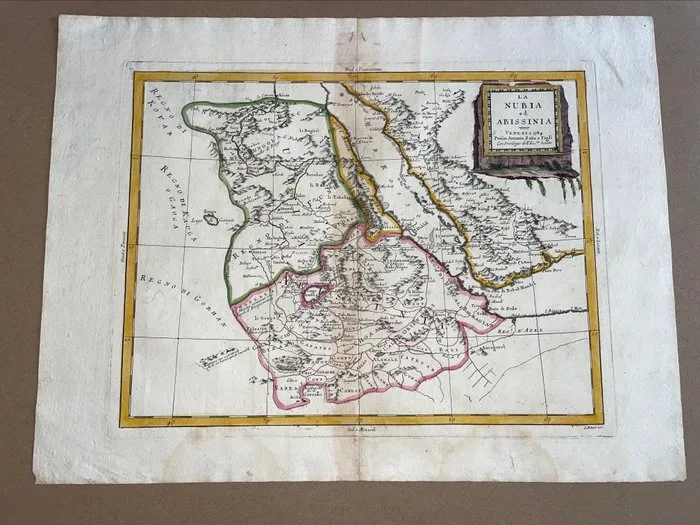
Africa - Nubia and Abyssinia; Antonio Zatta/Rigobert Bonne - Nubia ed Abissinia/Nubie et Abissinie - 1761-1780
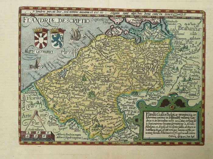
Belgium - Flanders; M. Quad / J. Bussemacher - Flandriae Galliae Belgicae Provinciae - 1596
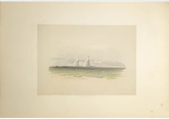
David Roberts (1796–1864) - Colossi of Memnon — Thebes, Egypt, 1846
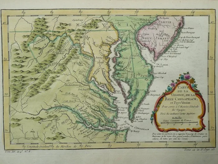
North America - United States / Virginia / Richmond / Philadelphia / Baltimore / Washington DC; Nicolas Bellin - Carte de la Virginie, de la Baye Chesapeack - 1751-1760
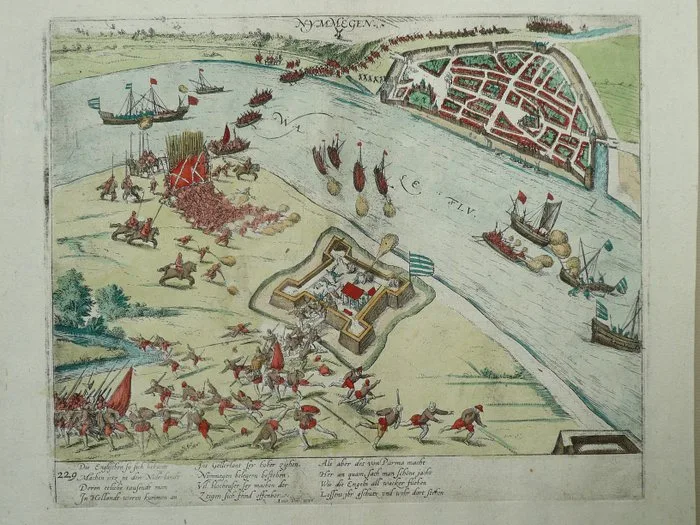
Netherlands - Nijmegen; Frans Hogenberg - Nymmegen - 1581-1600
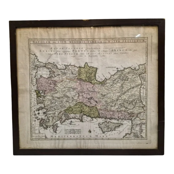
Germany - Anatolia; Matthäus Seutter (Augusta, 1678 - 1757) - Natoliae, olim Asiae Minoris Tabula - 1721-1750
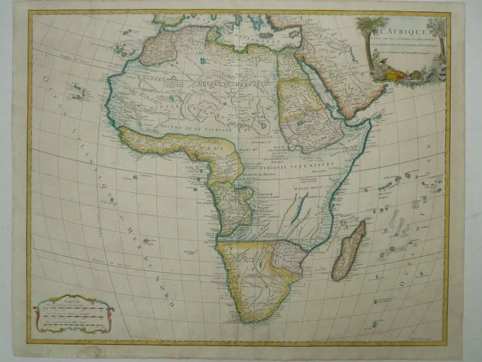
Africa - Madagascar; Gilles & Didier Robert de Vaugondy - L'Afrique - 1751-1760
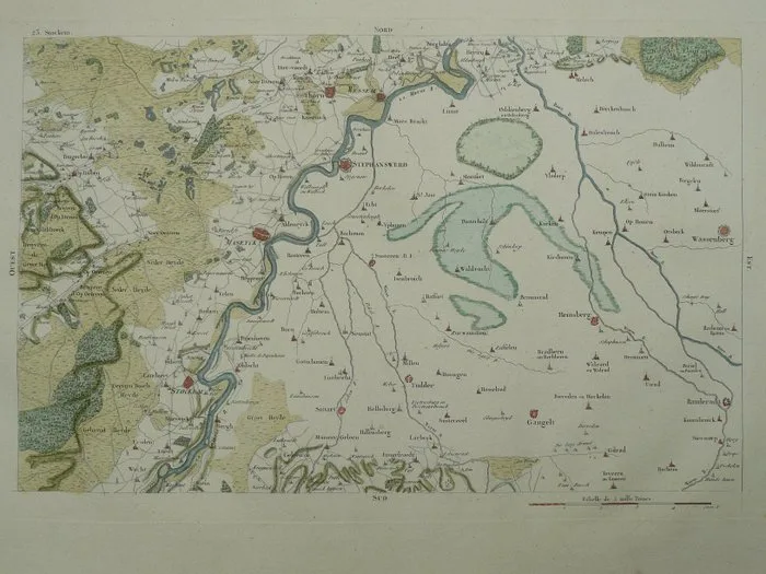
Netherlands - Limburg, Sittard, Stevensweert, Maaseik; Louis Capitaine - 23 Stockem - 1781-1800
World - Dutch East- and West-Indies; Vingboon - Vingboon's Atlas V.O.C. & W.I.C. - 1621-1650
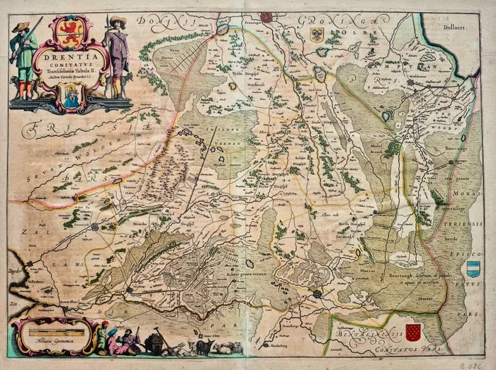
Unknown artist - Antieke handgekleurde kaart van Drenthe – Cornelis Pynacker, 17e eeuw
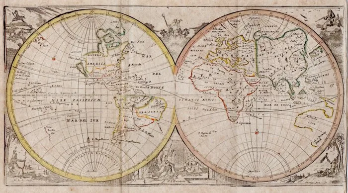
Planisfero -.; Verdussen - / - 1725
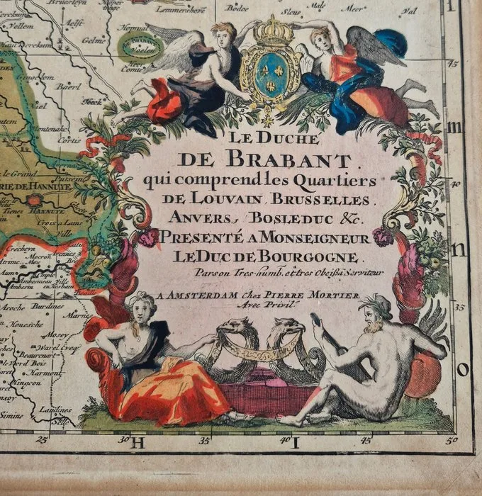
Netherlands - Brabant; Pierre Mortier - Antieke kaart van het Hertogdom Brabant, ca. 1692 – Handgekleurd met goudaccenten - 1681-1700
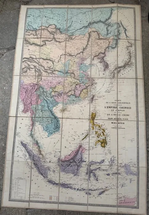
Asia - Far East and Southeast Asia, from Siberia to the north of Australia; Andriveau-Goujon (Eugène) - Carte de l’Asie orientale comprenant l’Empire chinois, le Japon, les États de l’Indo-Chine et le - 1881-1900
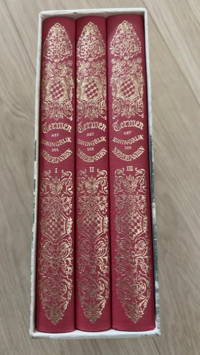
Netherlands - Netherlands; Van Goor en Zonen - Het Koningrijk der Nederlanden - 1961-1980
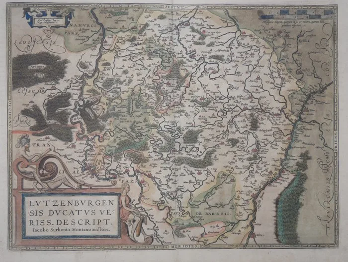
Luxembourg - Luxembourg; Abraham Ortelius - Lutzenburgensis Ducatus Veriss. Descript. Iacobo Surhonio Montano Auctore - 1601
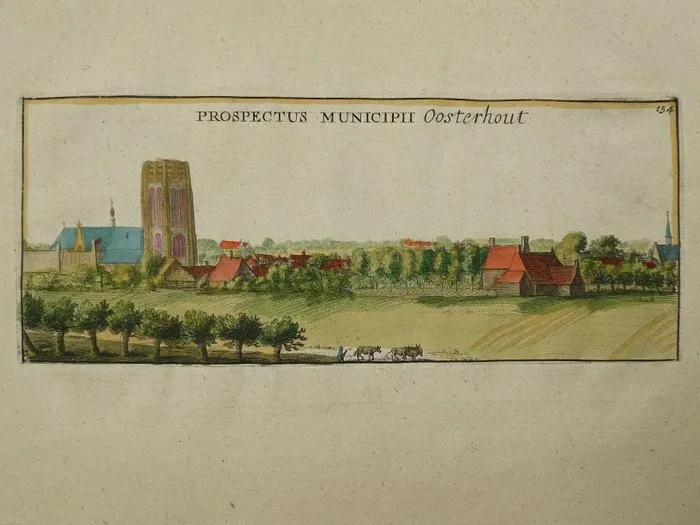
Netherlands - Oosterhout; Pieter van der AA - Prospectus Municipii Oosterhout - 1681-1700
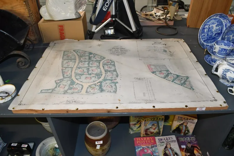
Of local interest, a large late 19th-century 'Plan of Building Sites on part of The Fell Foot Estate on Lake Windermere, North Lancashire, 1870'
Antiquarian. Two extracts from Wm. Camden's 'Britannia'. Northamptonshire - p.505-516. Double-page
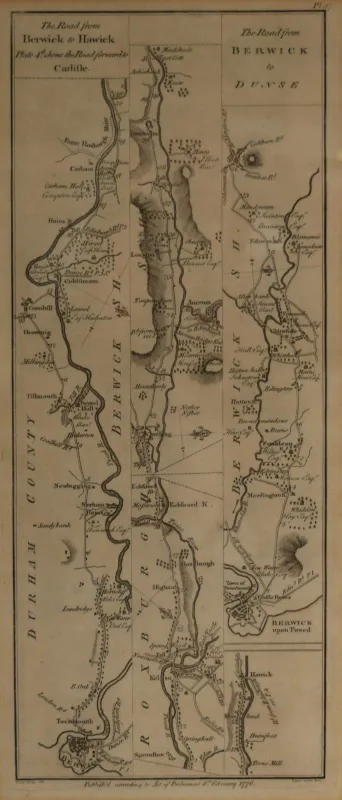
After George Taylor and Andrew Skinner (18th Century) Road map 'The Road from Berwick to Dunse'
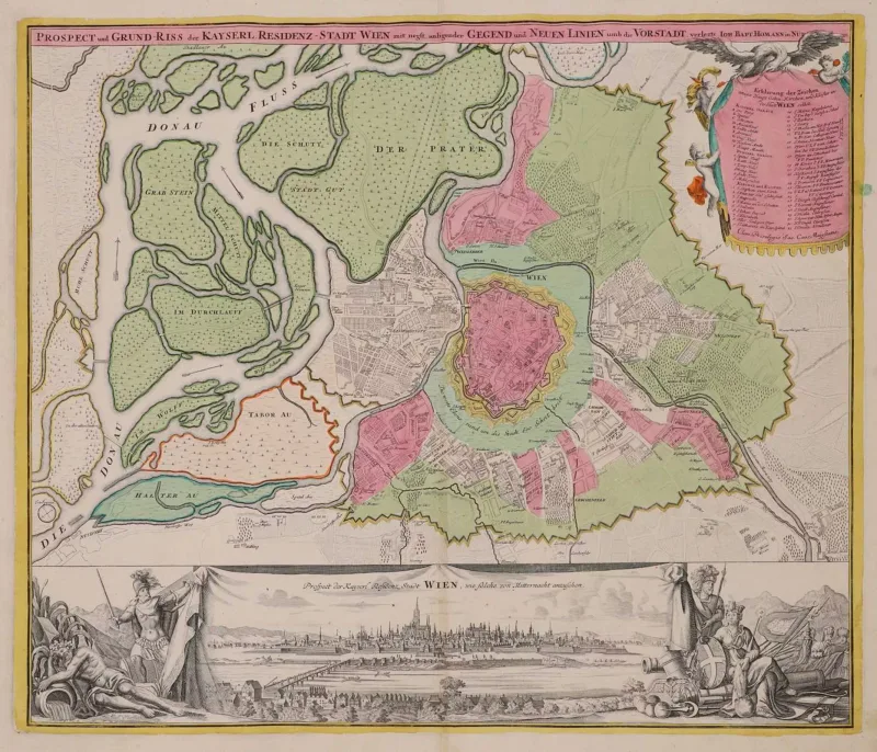
Homann
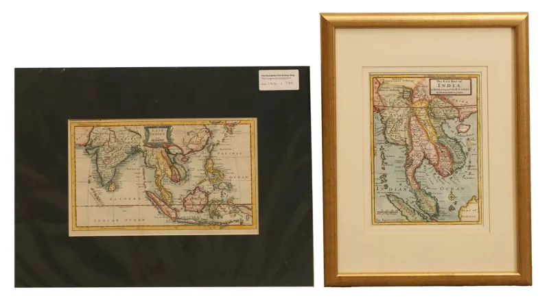
Moll
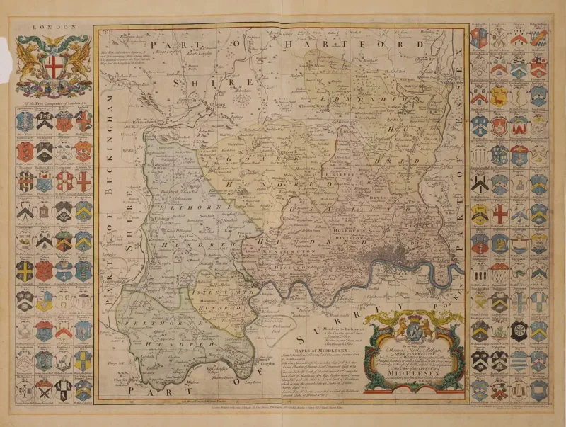
Six English County Maps: 1- Seale, R
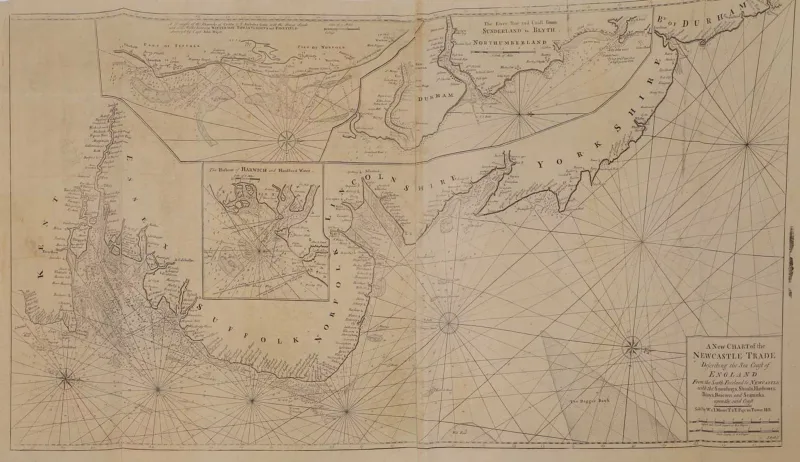
Mount & Page: A New Chart of the Newcastle Trade describing the sea coast of England, Ca 1747, 101x51 cm
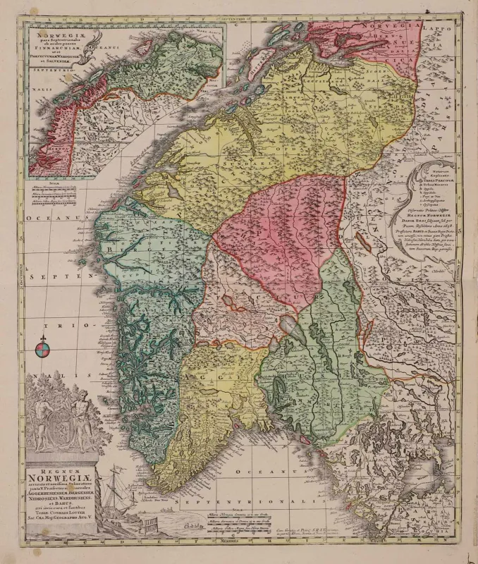
Map of NORWAY: Lotter, T C: Regnum Norwegiae accurata et novissima delineatione
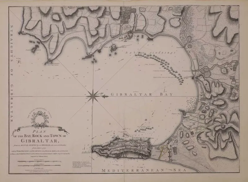
GIBRALTAR: 1- Faden, William: Plan of the Bay, Rock and Town of Gibraltar, from an Actual Survey by an Officer who was at Gibraltar from 1769 to 1775
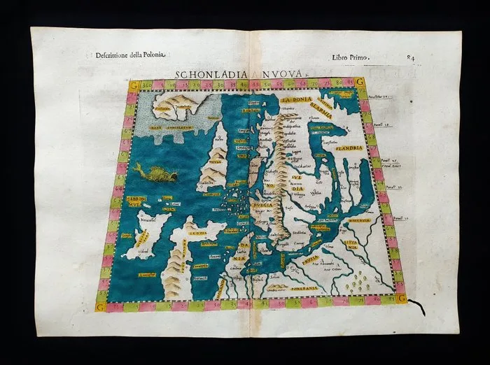
Europe - Eastern Europe, Poland, Lithuania, Scandinavia, Prussia, Russia; Rosaccio / Magini / Tolomeo - Schonladia Nuova Tavola - 1581-1600
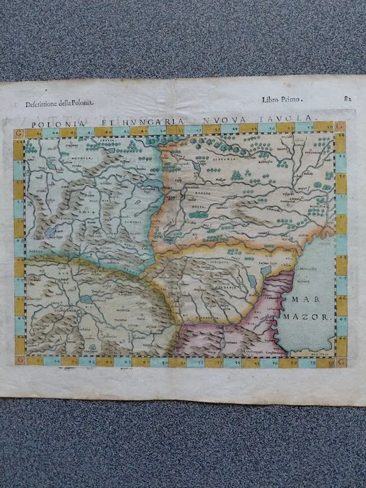
Poland - Central and East Europe; Girolamo Ruscelli/Melchior Sessa - Polonia et Hungaria Nuova Tavola/La Geografia - 1581-1600
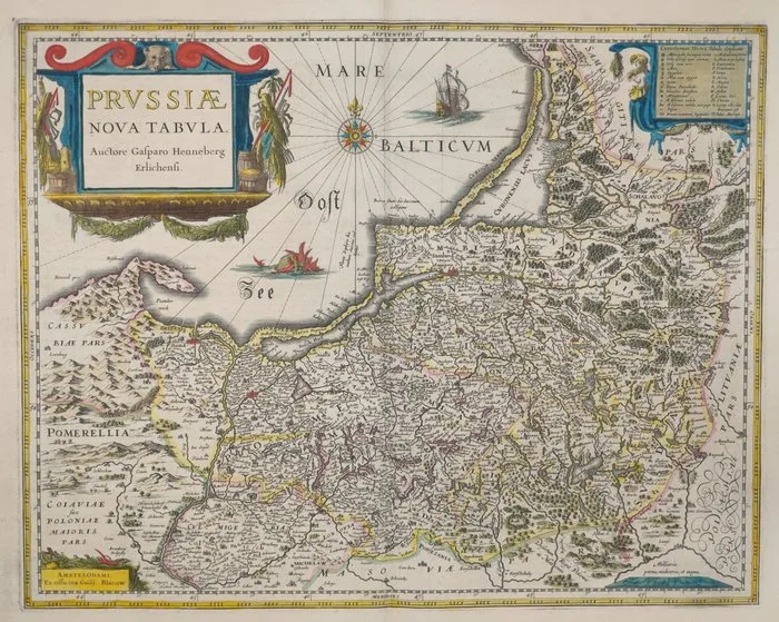
Poland - Prussia; Blaeu - Prussiae Nova Tabula - 1621-1650
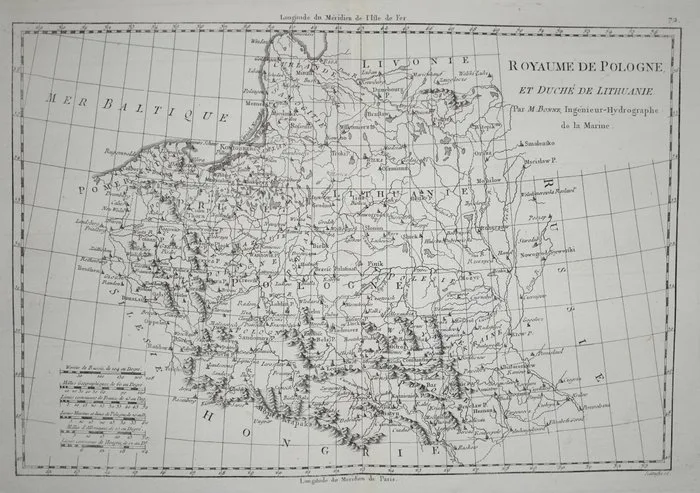
Poland - Lithuania; Bonne - Royaume De Pologne, Et Duché De Lithuanie - 1781-1800
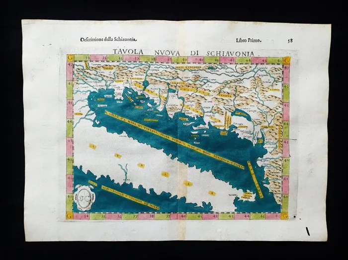
Europe - Eastern Europe, Dalmatia, Croatia, Slovenia, East Italy, Bosnia; Rosaccio / Magini / Tolomeo - Tavola Nuova di Schiavonia - 1581-1600
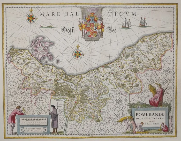
Poland - Pomerania; Blaeu - Pomeraniae Ducatus Tabula - 1651-1660
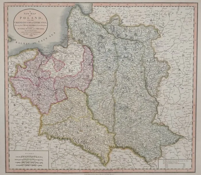
Poland - Lithuania; Cary - A New Map of Poland, and the Grand Duchy of Lithuania, Shewing their Dismemberments and Divisions - 1781-1800
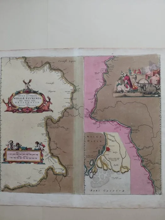
Russia - Volga River; Adam Olearius/Johannes Blaeu - Nova et accurata Wolgae fluminis, olim Rha dicti delineatio auctore Adamo Oleario - 1661-1680
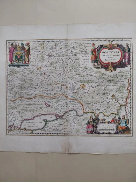
Russia - southern part of the Tsardom of Russia; Isaac Massa - Moscoviæ Pars Australis, Auctore Isaaco Massa - 1621-1650
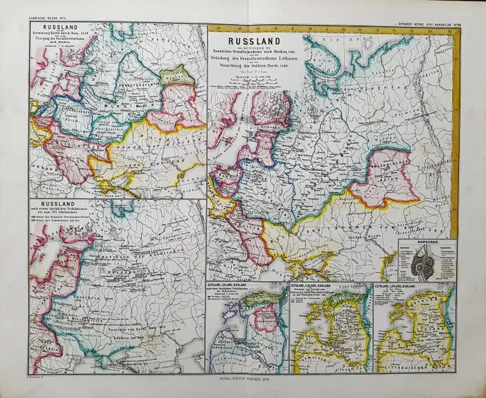
Europe - Eastern Europe / Poland / Lithuania / Russia / Livonia; K. V. Spruner - Russland..... - 1821-1850
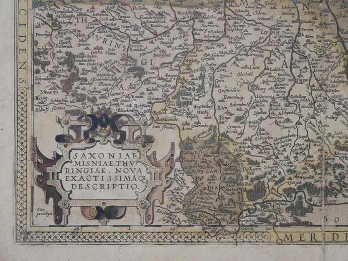
Germany - East - Germany; Abraham Ortelius - Saxoniae, Misniae, Thuringiae, Nova Exactissimaq Descriptio - 1601
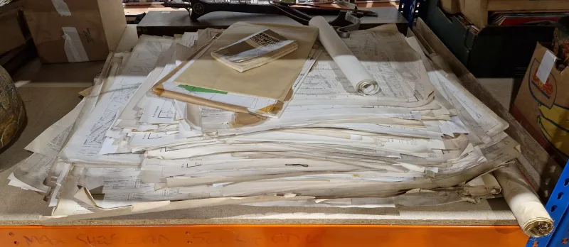
Large collection of Ordnance Survey maps dating from the beginning of the 20th century, mainly covering the West Midlands area
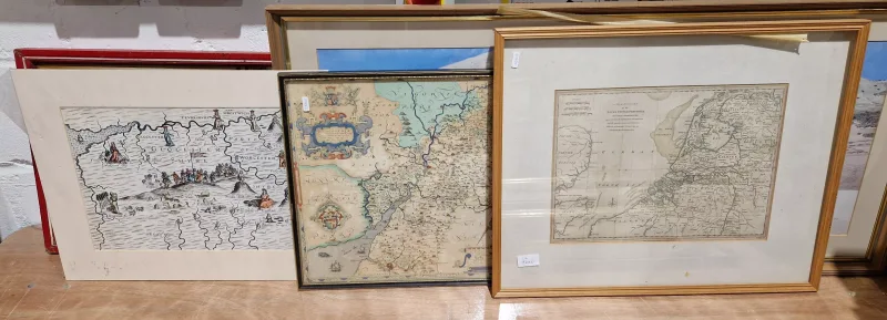
Handcoloured map engraving of The Seven United Provinces, 28cm x 38cm
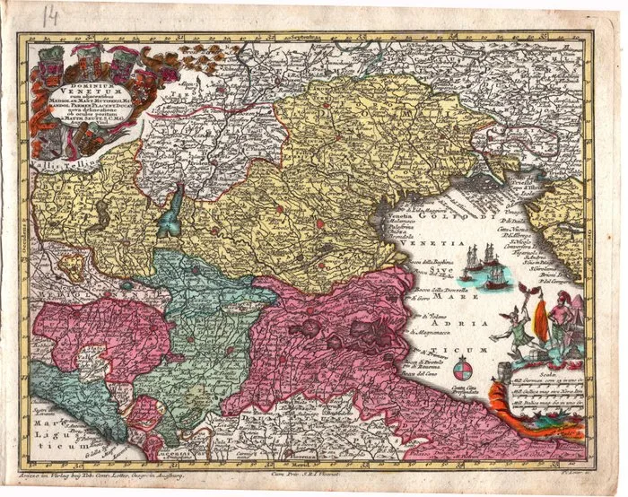
Italy - Venice, the Venetian Dominions and surrounding territories; Seutter, Georg Matthaus (1678-1757) - Dominium Venetum cum adjacentibus - 1721-1750
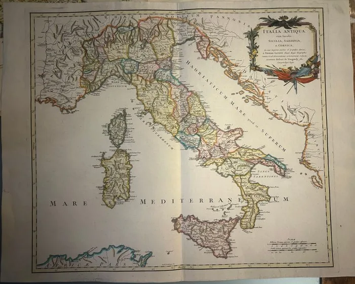
Italy - Italy / Sicily/ Sardinia/Corsica; Gilles e Didier Robert de Vaugondy - ITALIA ANTIQUA cum Insulis SICILIA, SARDINIA, et CORSICA - 1751-1760
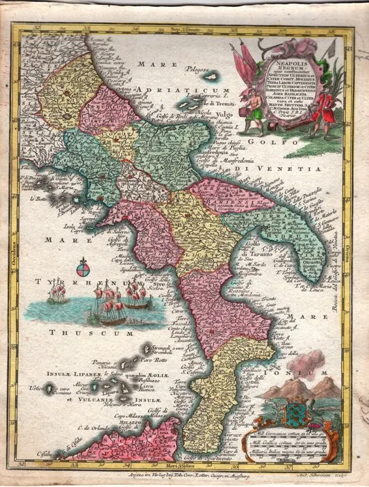
Italy - Kingdom of Naples, Southern Italy; Seutter, Georg Matthaus (1678-1757) - Neapolis Regnum - 1721-1750
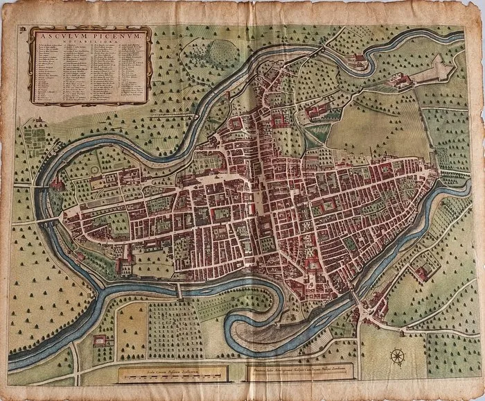
Italy - Marche// Ascoli; • Disegnatore: Emidio Ferrett//Editore: Joan Blaeu (Amsterdam, 1596 – 1673) - Asculum Picenum. Notabiliora. - 1621-1650
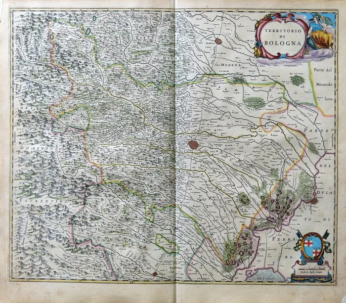
Italy - Bologna, Emilia-Romagna; Blaeu - Territorio di Bologna - 1643