Maps
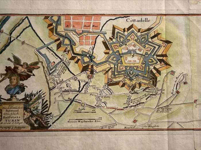
Italy - Piedmont / Turin; Gabriel Bodenehr il Vecchio (1664–1758). - Das durch Göttlichen Beystand Glücklich Entsetzte TURIN, A. 1706. d. 7. Sept. / Cittadelle (Pianta - 1721-1750
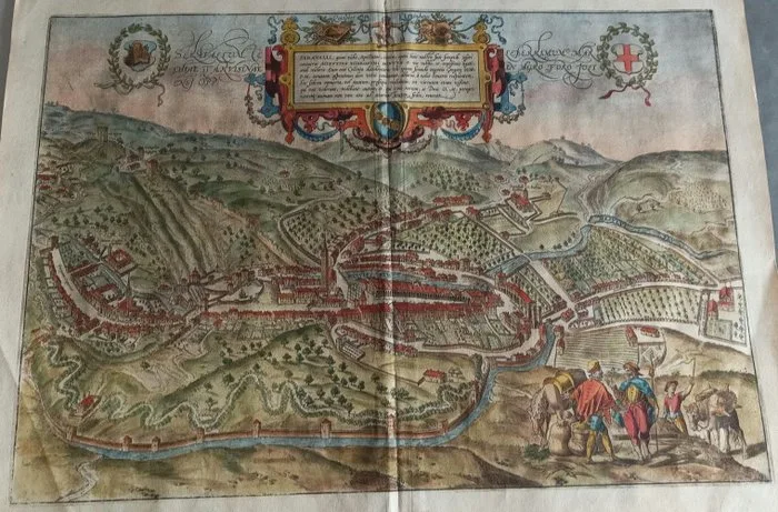
Italy - Veneto / Serravalle; Georg Braun (Colonia, 1541-1622) e Frans Hogenberg (Malines, 1535-1590) - Seravallum Celeberrimum Marchiae Tarvisinae in Agro Foro Juliensi Oppidum - 1581-1600
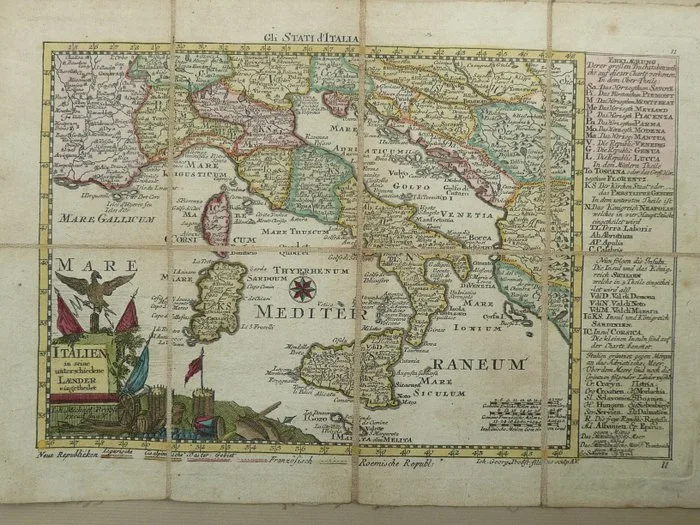
Italy - Sicilia, Sardegna; Gabriel Bodenehr - Gli Stati d'Italia - 1720
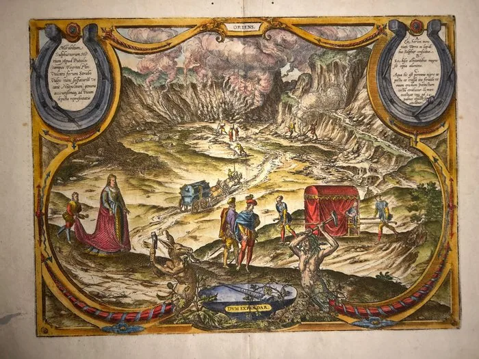
Italy - Campania // View of the Solfatara of Pozzuoli / Volcano Forum); Georg Braun (1541–1622) e Frans Hogenberg (1535–1590) - Mirabilium Sulphureorum Montium Apud Puteolos - 1581-1600
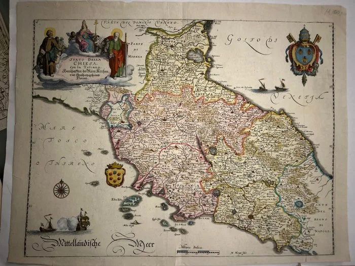
Italy - Italy (Central and Central-Northern) Tuscany, Lazio, Umbria, Marche, Emilia-Romagna; Matthäus Merian il Vecchio (1593–1650), - STATO DELLA CHIESA, Con la Toscana. Herrschafften der Röm. Kirchen, vnd Grosshertzogthümb Florentz - 1621-1650
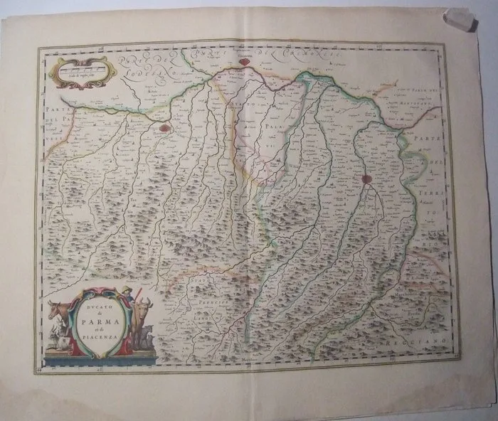
Italy - Duchies of Parma & Piacenza, Cremona, Via Emilia; W.Blaeu - Ducato di Parma et di Piacenza - 1621-1650
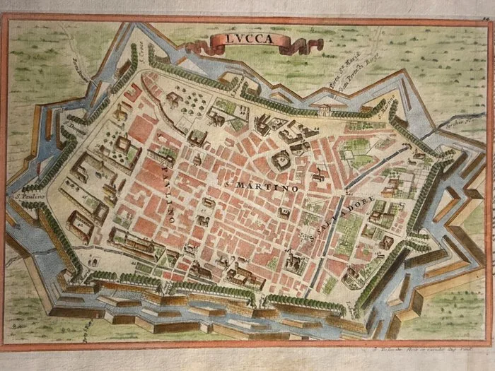
Italy - Mantua; Gabriel Bodenehr il Vecchio (1664–1758). - LVCCA / LUCCA (Veduta prospettica a volo d'uccello della città fortificata di Lucca e delle sue mura - 1721-1750
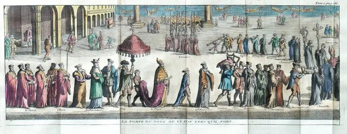
Italy - Venice, Doge; Rogissart - La pompe du Doge de Venise lors quil sort - 1701-1720
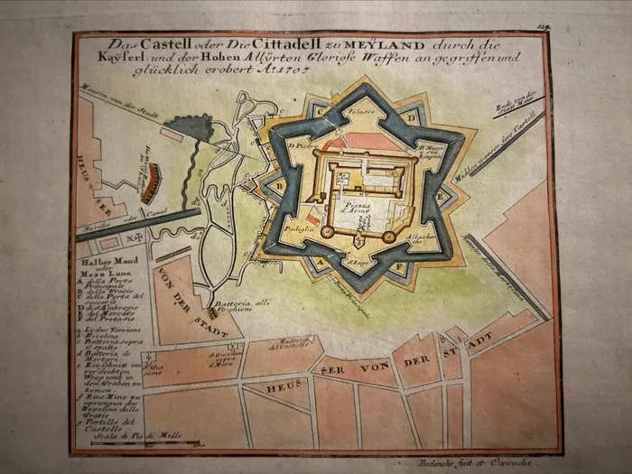
Italy - Lombardy / Milan; Gabriel Bodenehr il Vecchio (1664–1758). - Das Castell oder Die Cittadell zu MEYLAND durch die Kayserl. und der Hohen Allijrten Gloriose Waffen - 1721-1750
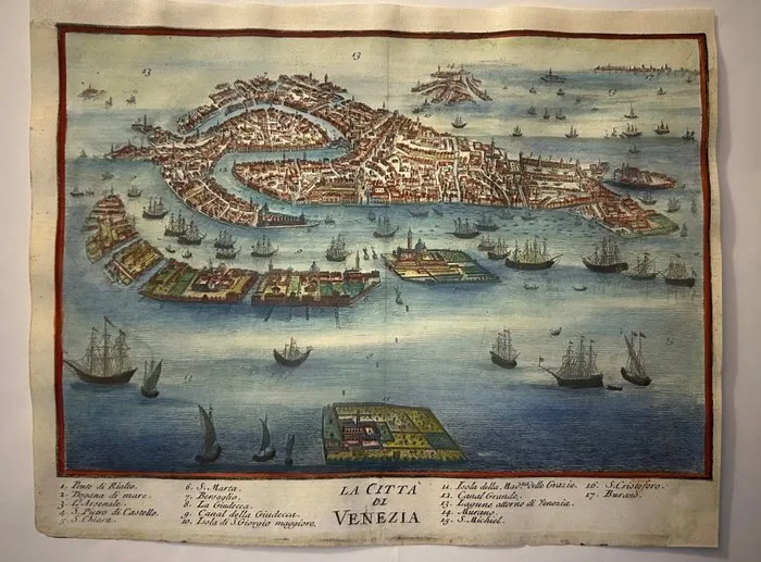
Italy - Venice //. Rialto Bridge – Sea Customs House – The Arsenal; Giuseppe Filosi - La città di Venezia - 1761-1780
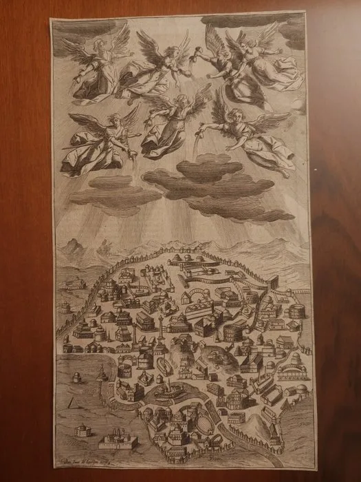
Italy - Rome; Juan de Jáuregui y Aguilar - I sette angeli versano le coppe dell'ira divina su Roma - 1601-1620
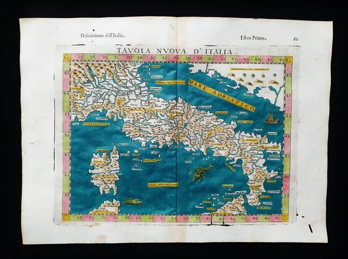
Italy - Italy, Sicily, Sardinia, Corsica, Tuscany, Lombardy, Lazio, Liguria, Umbria, Apulia; Rosaccio / Magini / Tolomeo - Tavola Nuova d'Italia - 1581-1600
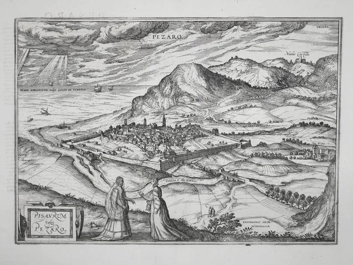
Italy - Pesaro; Braun & Hogenberg - Pisaurum vulgo Pezaro - 1581-1600
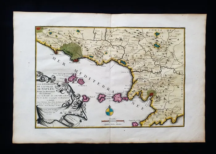
Europe - Southern Italy, Naples, Molise, Campania, Ischia, Ponza, Ventotene, Gaeta, Lazio; Nicolas de Fer - Mantoue, ville considerable d'Italie - 1701-1720
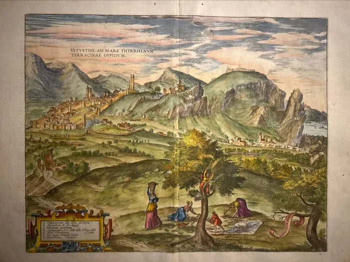
Italy - Lazio // Terracina; Georg Braun (1541–1622) e Frans Hogenberg (1535–1590) - VETVSTISS. AD MARE THYRRHENVM TERRACINAE OPPIDVM. (Veduta prospettica della città di Terracina e del - 1581-1600
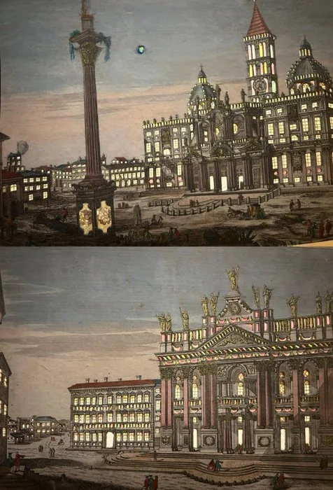
Italy - Rome; Georg Balthasar Probst (Augusta, 1732–1801) - Prospectus Ecclesiae Sanctae Mariae Majoris,//Prospectus Templi S. Iohannis Lateranensis, - 1761-1780
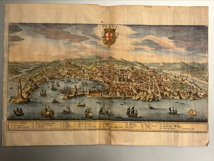
Italy - Liguria / Genoa; Matthäus Merian il Vecchio (1593–1650). - GENVA - 1621-1650
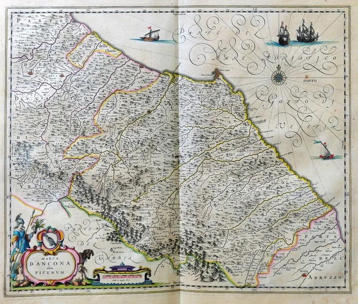
Italy - Marche; Blaeu - Marca d’Ancona olim Picenum - 1643
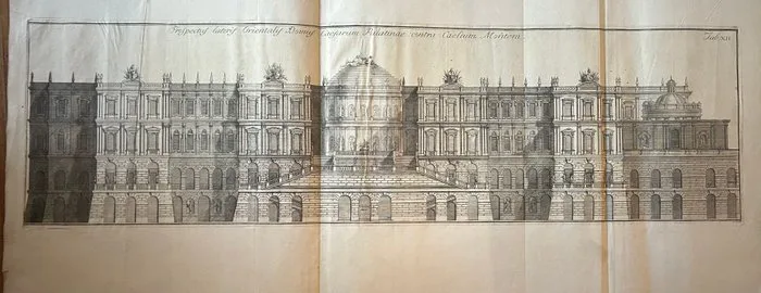
Italy - Rome // House of the Caesars on the Palatine; Dionigi Valesi (attivo a Parma e Venezia, ca. 1737 - ca. 1777) - Prospectus lateris Orientalis Domus Caesarum Palatinae contra Caelium Montem - 1751-1760
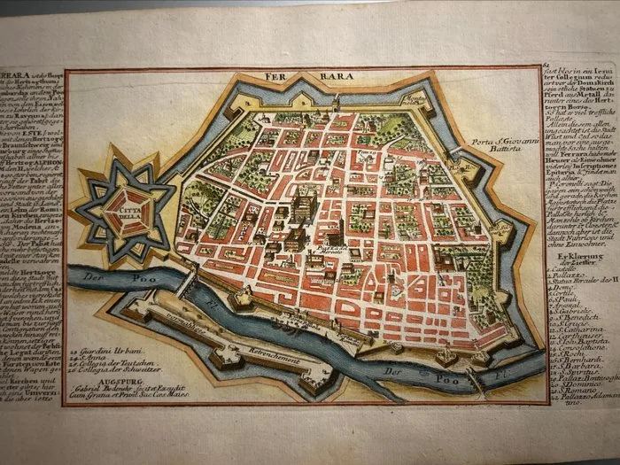
Italy - Ferrara; Gabriel Bodenehr il Vecchio (1664–1758). - FERRARA (Veduta prospettica a volo d'uccello della città fortificata di Ferrara e della sua - 1721-1750
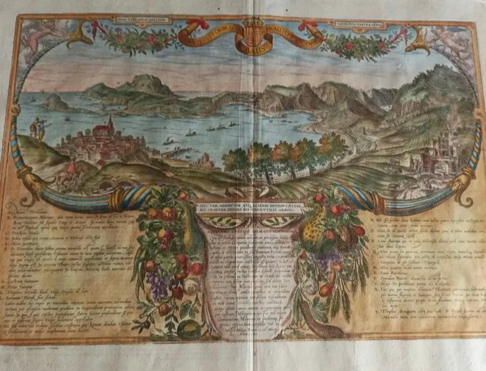
Italy - Campania / Phlegraean Fields, Pozzuoli and Gulf of Baiae; Georg Braun (1541–1622) e Frans Hogenberg (1535–1590) - Nullus in Orbe Locus Baiis Praelucet Amoenis - 1581-1600
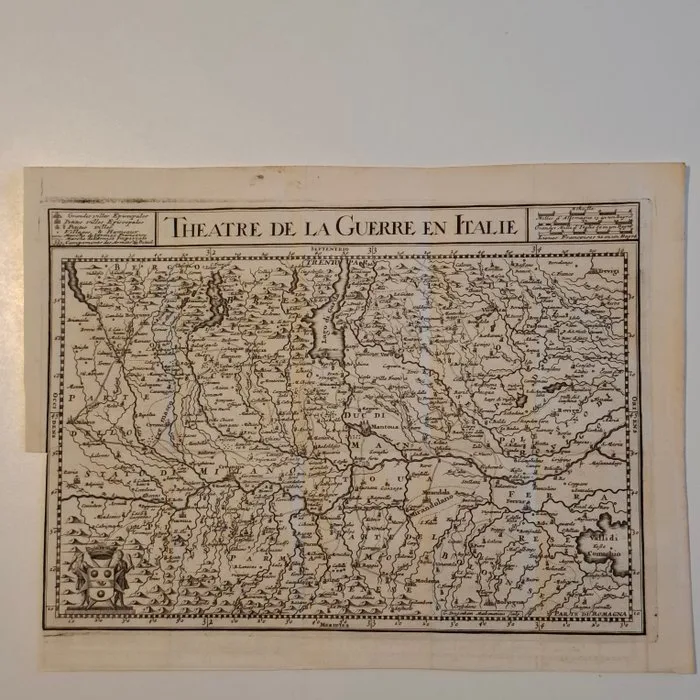
Netherlands - Italy; G.Drogenham - Antique Map:Theatre de la Guerre en Italie(Teatro della Guerra in Italia). G.Drogenham. - 1701-1720
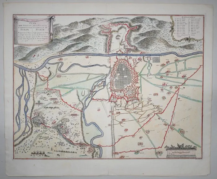
Italy - Turin; Pieter van Call - Plan de la Ville & Citadelle de Turin - 1721-1750
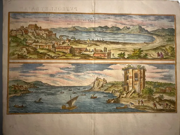
Italy - Campania / Pozzuoli and Baia (Puteoli et Baiae); Georg Braun (1541–1622) e Frans Hogenberg (1535–1590) - PVTEOLI / BAIAE (Doppia veduta prospettica del Golfo di Pozzuoli e di Baia con il Tempio di Diana). - 1581-1600
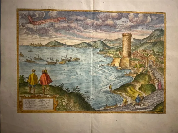
Italy - Lazio / Gaeta; Georg Braun (1541–1622) e Frans Hogenberg (1535–1590) - Conspectus Molae et Caietae / MOLA - CASTEL NOVO - 1561-1580
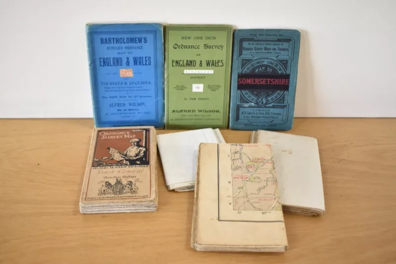
Maps. A small selection of early 20th century folding/pocket maps, Southern England interest. (7)
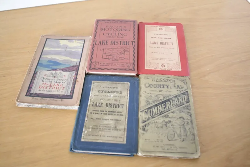
Maps. Lake District. A small selection of vintage folding pocket maps for the Lake District. (5)
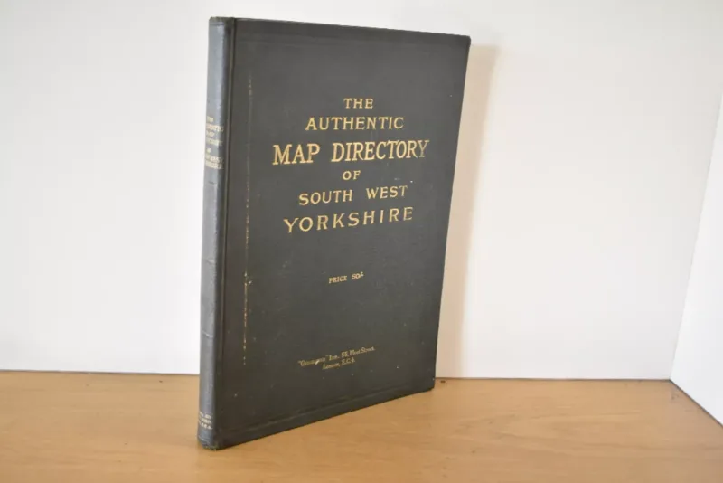
Yorkshire. Maps. Bain
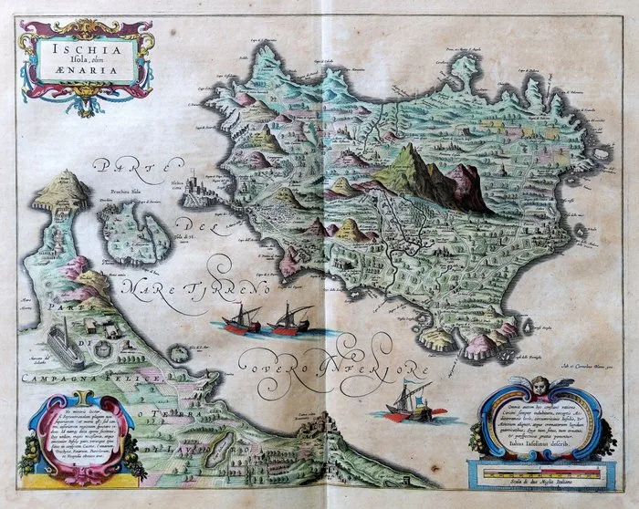
Italy - Ischia, Procida, Campania; Blaeu - Ischia Isola, olim Ænaria. - 1643
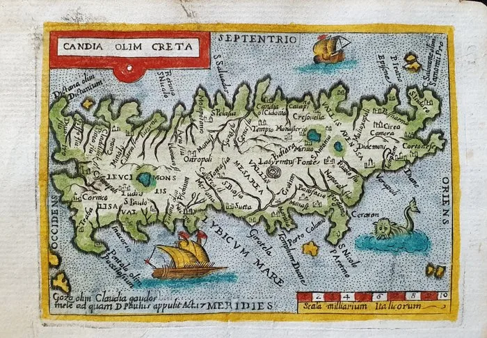
Europe - Greece, Crete, Aegean Islands, Candia; Abraham Ortelius / Scipion Banìca - Candia olim Creta - 1661-1680
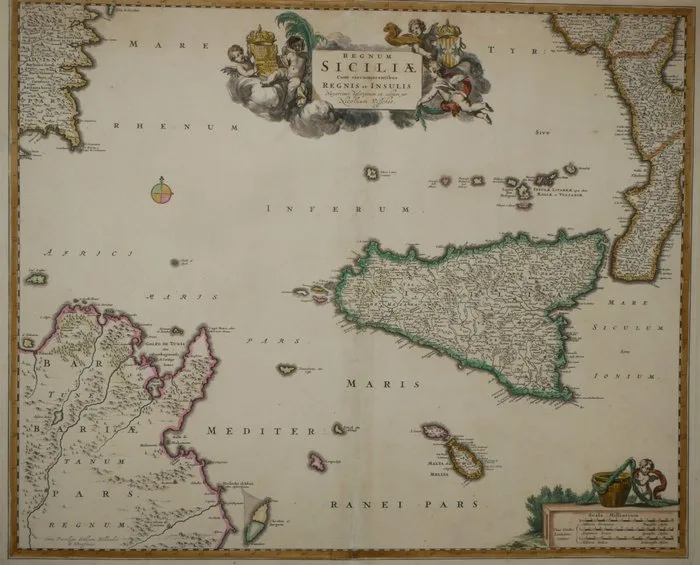
Italy - Sicily; Nicolaas Visscher - Regnum Siciliae cum Circumjacentibus Regnis et Insulis. - 1698
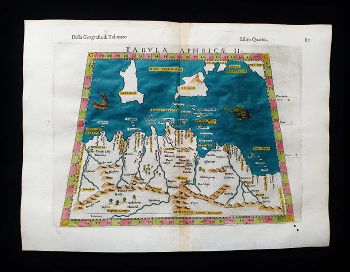
Asia - North Africa, Mediterranean Islands, Sicily, Sardinia, Italy, Libya, Lampedusa, Linosa; Ruscelli - Magini - Malombra - Tolomeo - Tabula Aphricae II - 1581-1600
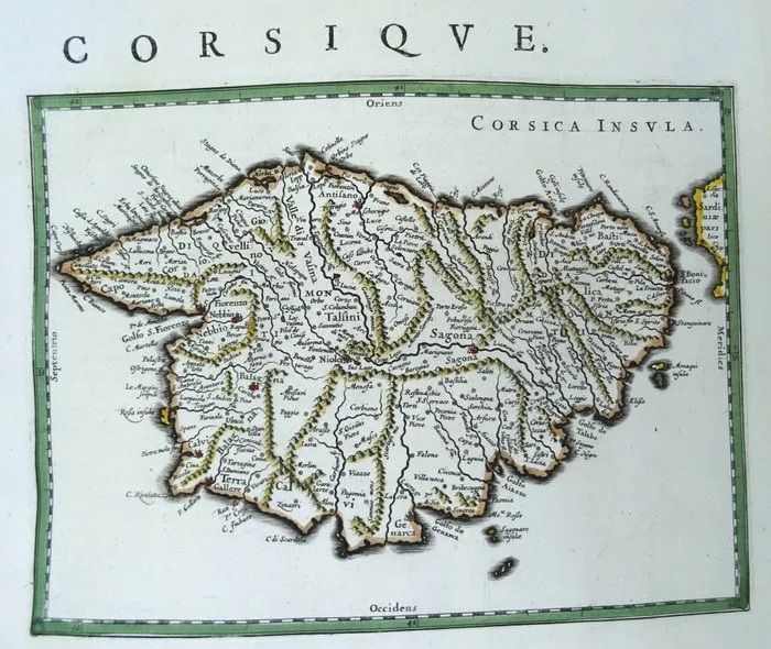
France - Corsica; W. & J. Blaeu - Corsique - 1621-1650
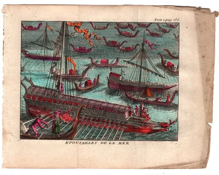
Italy - Venice; De Rogissart, Pieter Van der Aa - Sposalizio del Mare a Venezia, 1707 - 1701-1720
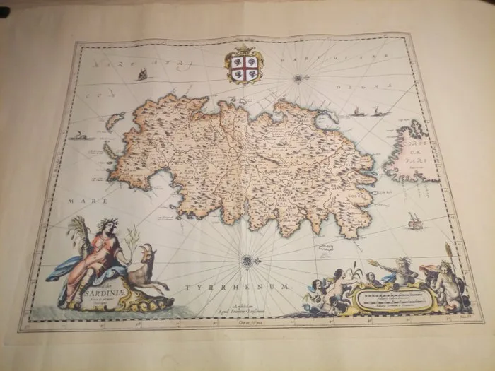
Sardaigne / Johannes Janssonius 1640*1660 - Sardinia / Conquests; Johannes Janssonius - Sardiniae Nova & Accurata Descriptio - 1621-1650
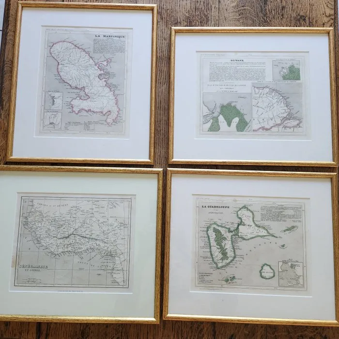
France - Ten eighteenth-century geographical maps of the French Isles; Drioux Binet - Cartes Guyane Martinique Barbade Guadeloupe Antilles Saint Christophe Sénégambie_ et Guinée - 1751-1760
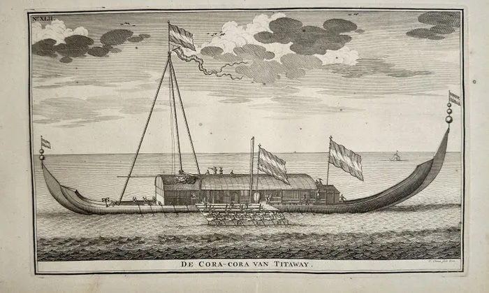
François Valentijn (1666–1727) - The Kora-Kora of Titawaai, Moluccan Vessel, Oost-Indiën, Valentijn – Engraving (18th C.)
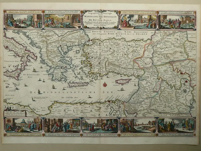
Cyprus - Greece / Turkey / Crete / Malta; Claes Jansz. Visscher - Geographische Beschryvinge van de wandeling der Apostelen ende reysen Pauli - 1651-1660
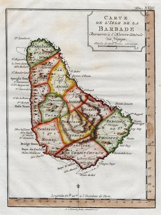
Barbados -.; N. Bellin - Carte de l'Isle de la Barbade - 1751-1760
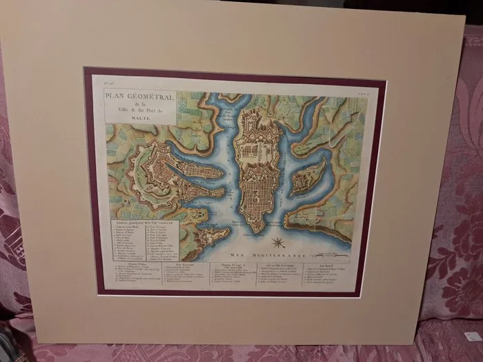
Malta - Malta; Saint Non - Plan geometral de la ville & du port de Malte - 1781-1800
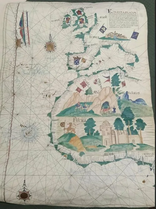
Spain - Santa Cruz de Tenerife; Creador de mapas - Portulano del atlas de Lázaro Luis - 1561-1580
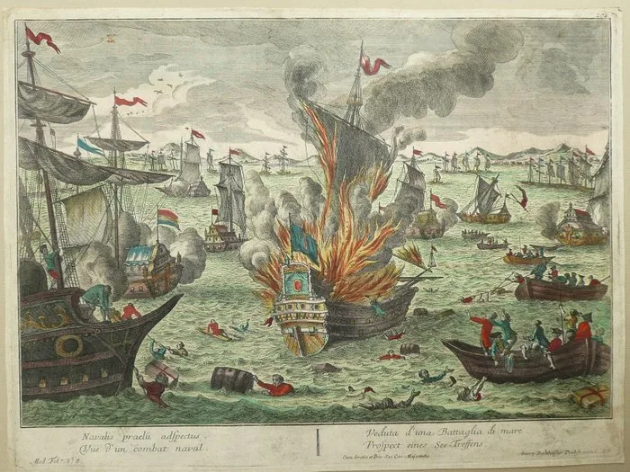
Europe - Seabattle; G.B. Probst - Veduta d'una Battaglia di Mare - 1721-1750
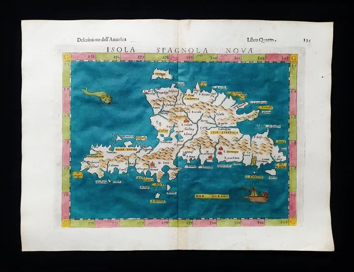
America Centrale - Caribbean, Santo Domingo, Dominican Republic, Hispaniola, Antilles, Central America; Ruscelli - Magini - Malombra - Tolomeo - Isola Spagnola Nova Tabulae - 1581-1600
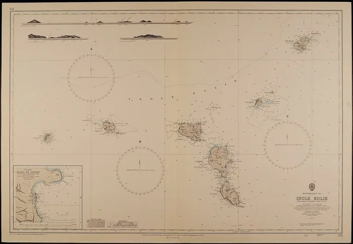
Mediterranean Sea - Mediterranean Sea; British Admiralty - 10 Sea charts - 1851-1860
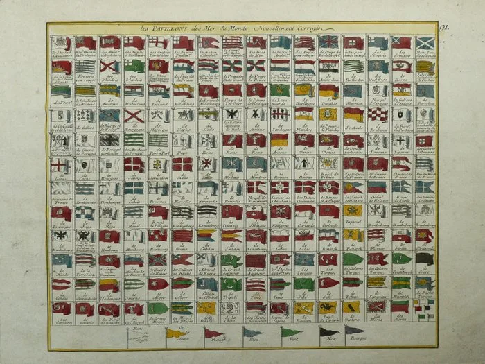
World - Flags; G.L. Le Rouge - Les pavillons des Mer du Monde - 1721-1750
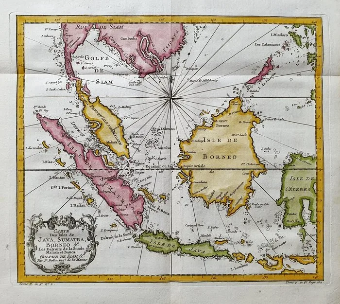
Asia - East Indies, Philippines, Malacca, Malaysia, Thailand; La Haye, P. de Hondt / J.N. Bellin / A.F. Prevost - Carte des l'Isles de Java, Sumatra, Borneo, e les Detroits de la Sonde, Malaca, Banca, Golfe de Siam - 1721-1750
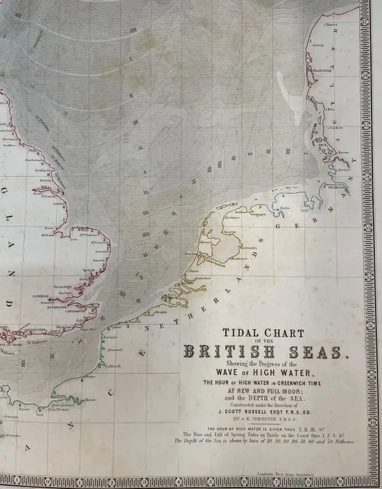
Greater North Sea/ Tidal Chart - British Isles, Atlantic Coastlines of France, the Netherlands, Belgium, Germany, Norway; A. Keith Johnston - TIDAL CHART of the BRITISH SEAS, showing the Progress of the High Water... - 1821-1850
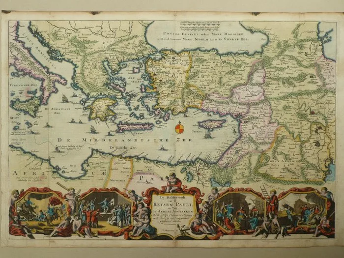
Mediterranean - Greece, Cyprus, Middle East; D. Stoopendaal / H. Keur en M. Doornick. - De beschryvingh van de Reysen Pauli en van Andere Apostelen - 1681-1700