Greater North Sea/ Tidal Chart - British Isles, Atlantic Coastlines of France, the Netherlands, Belgium, Germany, Norway; A. Keith Johnston - Tidal Chart of the British SEAS, showing the Progress of the High Water... - 1821-1850
Only one available — a single, individual piece.
Ships by Saturday 28 November from Israel.
- Secure payment at checkout
- 14-day returns · shipping info
| Condition | Good |
|---|---|
| Cartographer | A. Keith Johnston |
| Height | 51 cm |
| Width | 61 cm |
More from Maps
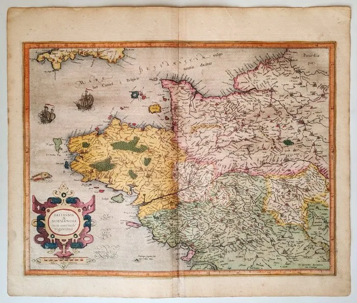
France - Brittany, Normandy; Gérard Mercator / Jodocus Hondius - Britannia & Normandia cum consinib' regionibus - 1606
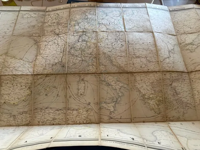
London - Mediterranean - 1850-1880
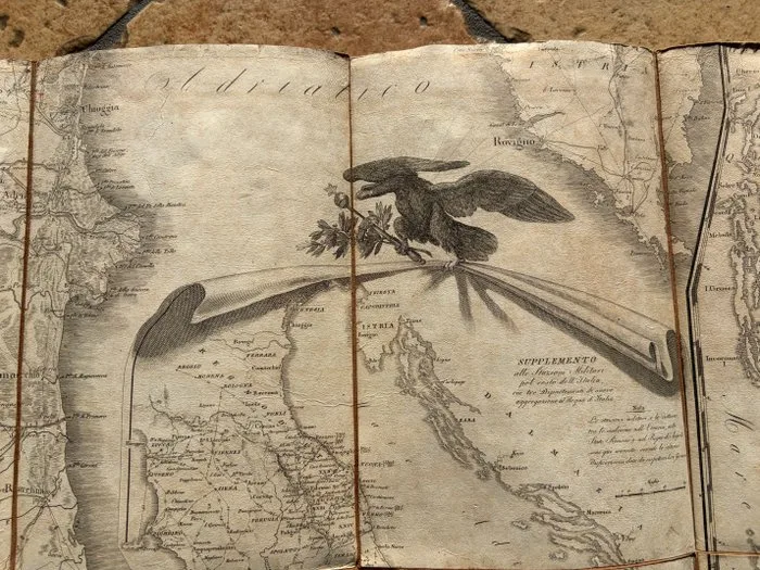
Europe - Napoleonic Kingdom of Italy; Istituto geografico militare - Carta Delle Stazioni Militari, Navigazione E Poste Del Regno D'Italia Eseguita Nel Deposito Generale - 1801-1820
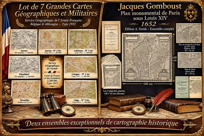
Cartographe du roi. - Plan monumental de Paris sous Louis XIV et 7 grandes cartes géographiques et militaires anciennes.. - 1652-1935
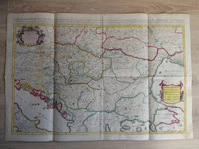
Hungary - Kingdom of Hungary; Nicolas Sanson/Alexis-Hubert Jaillot - Le Royaume de Hongrie et les Estats qui ont esté sujets et dépendans de sa Couronne/Atlas Nouveau - 1701-1720
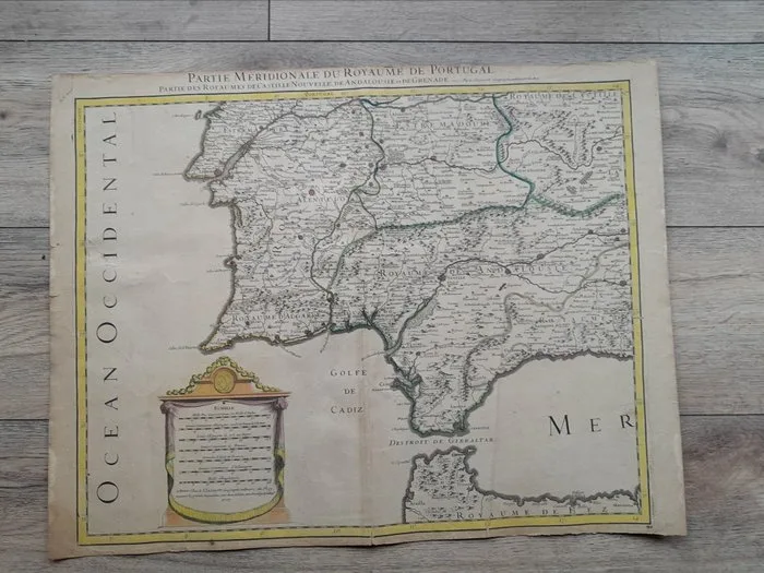
Alexis Hubert Jaillot - Carte du XVIIe siècle du sud du Portugal et des royaumes de Castille,d'Andalousie et de Grenade - 1692