Maps
Original antique maps and book leaves from the 1490s to the late 1800s, by cartographers such as Münster, Mercator and Hondius, Sanson, Homann and Chatelain.
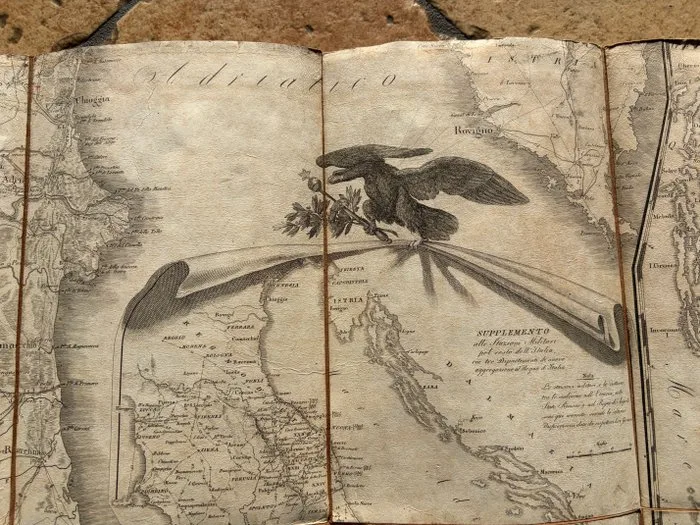
Europe - Napoleonic Kingdom of Italy; Istituto geografico militare - Carta Delle Stazioni Militari, Navigazione E Poste Del Regno D'Italia Eseguita Nel Deposito Generale - 1801-1820
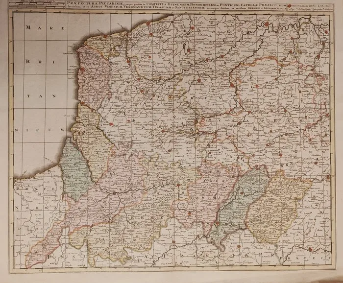
France - Piccardia; Leonard Valk - Praefectura Piccardiae, eaque partita in Comitatus Guinensem, Bononiensem, et Ponticum, Capellae - 1701-1720
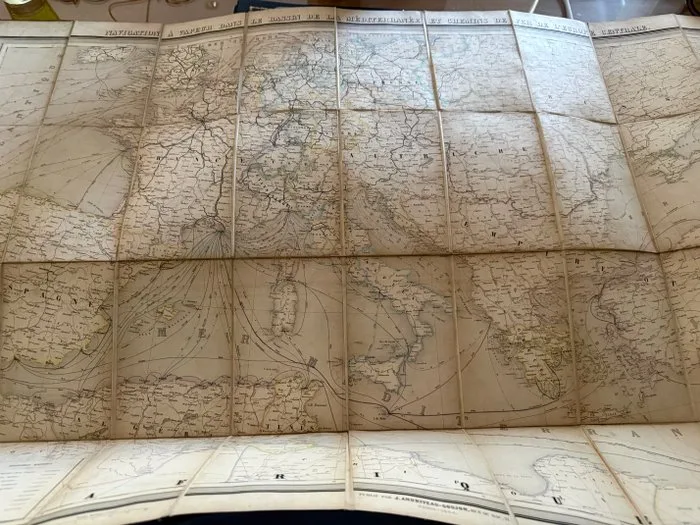
London - Mediterranean - 1850-1880
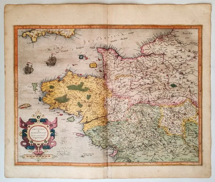
France - Brittany, Normandy; Gérard Mercator / Jodocus Hondius - Britannia & Normandia cum consinib' regionibus - 1606
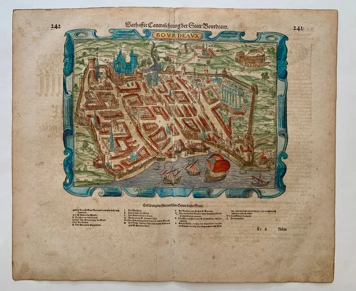
France - Bordeaux; Sebastian Münster - Warhaffte Contrafehtung der Statt Bourdeaux. - 1581-1600
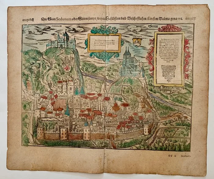
Switzerland - Sitten; Sebastian Münster - Die Statt Sedunum oder Sitten sampt weyen Schlössern und Bischofflichen Kirchen/ Valeria genannt. - 1581-1600
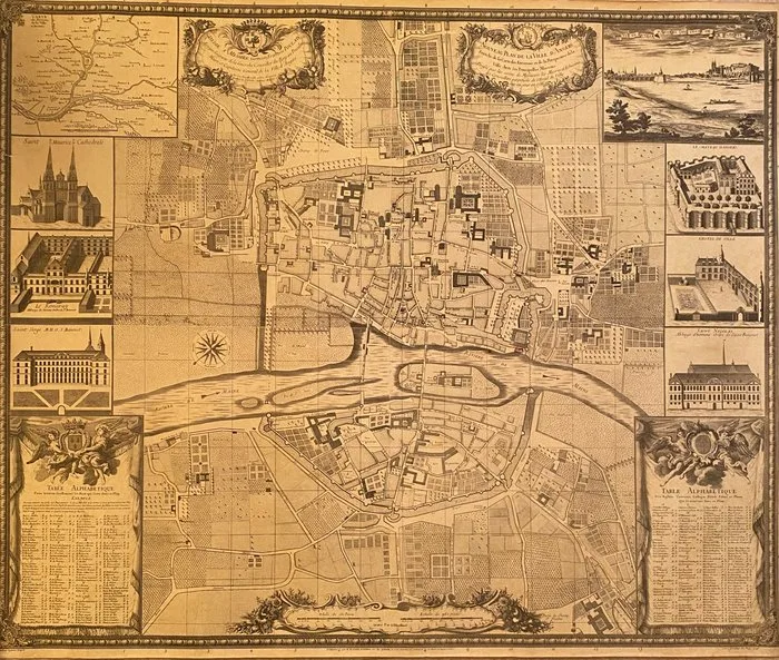
France - France, Angers; Lachèse et Dolbeau - Nouveau Plan de la Ville d'Angers - 1721-1750
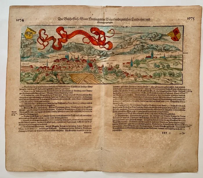
Germany - Freising, Bavaria; Sebastian Münster - Die Bischöffliche Statt Freisingen im Bayerland, zwischen Landshut und München g - 1581-1600
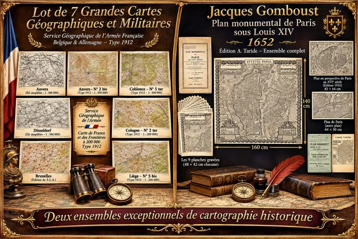
Cartographe du roi. - Plan monumental de Paris sous Louis XIV et 7 grandes cartes géographiques et militaires anciennes.. - 1652-1935
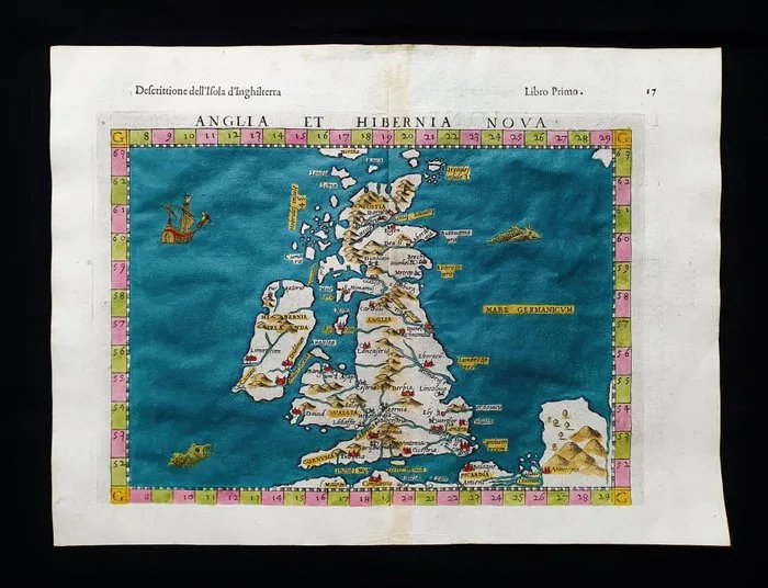
United Kingdom - United Kingdom, British Isles, England, Ireland, Wales, Scotland, London; Ruscelli - Magini - Malombra - Tolomeo - Anglia et Hibernia Nova Tabulae - 1581-1600
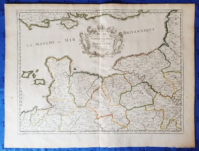
France - Normandy; Nicolas Sanson d'Abbeville - Duché et Gouvernement de Normandie - 1650
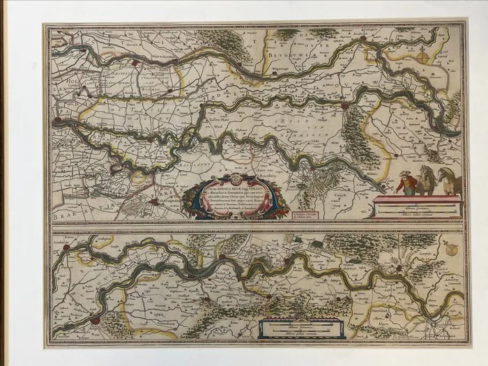
Netherlands - Rhine; Joan Blaeu - Tractus Rheni et Mosae - 1651-1660
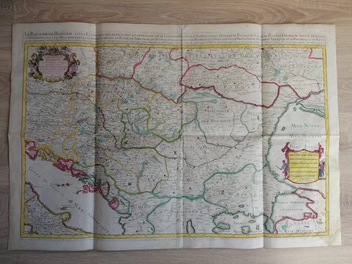
Hungary - Kingdom of Hungary; Nicolas Sanson/Alexis-Hubert Jaillot - Le Royaume de Hongrie et les Estats qui ont esté sujets et dépendans de sa Couronne/Atlas Nouveau - 1701-1720
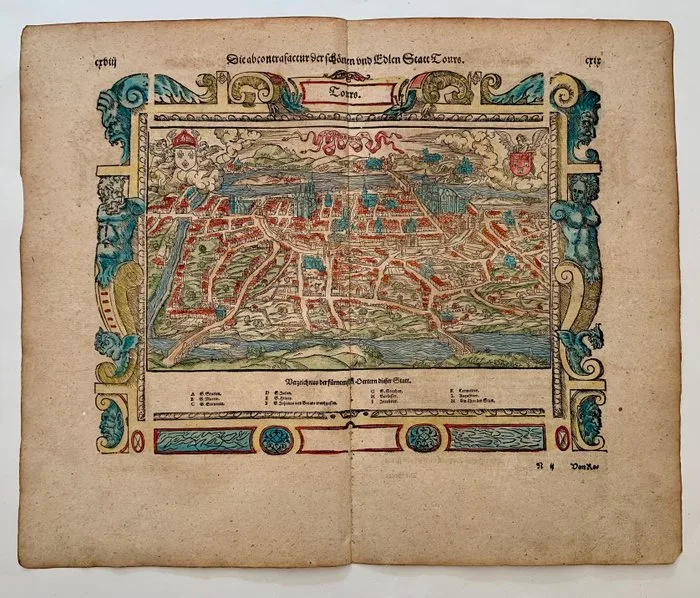
France - Tours; Sebastian Münster - Die abcontrafactur der schönen und Edlen Statt Tours. - 1581-1600
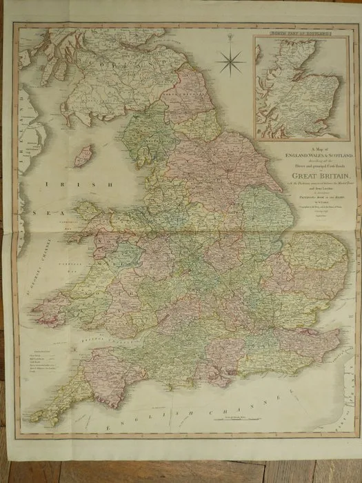
United Kingdom - Scotland / England / Wales; William Faden - A map of England, Wales & Scotland, describing all the Direct and principal cross roads in Great - 1801-1820
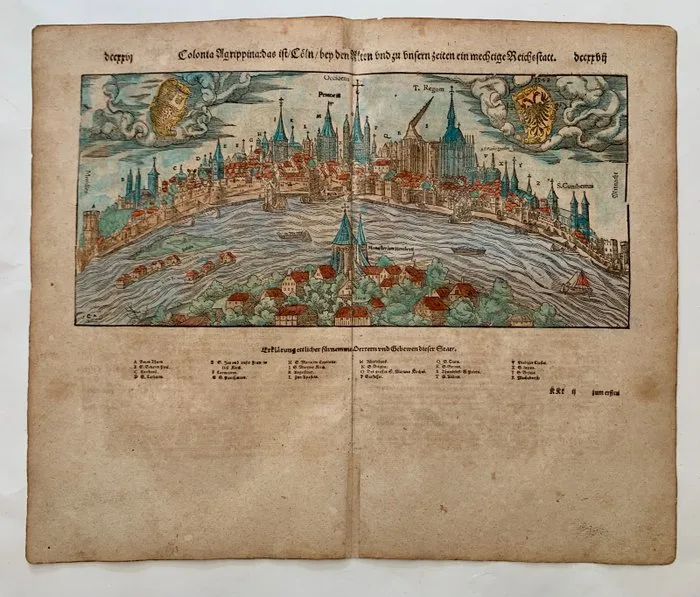
Germany - Cologne; Sebastian Münster - Colonia Agrippina: das ist/ Cöln/ bey den Alten und zu unsern zeiten ein mechtige Reichsstatt. - 1581-1600
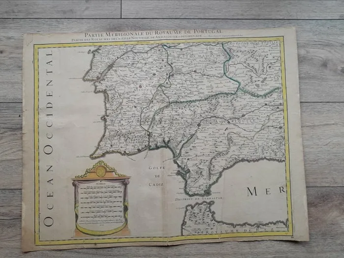
Alexis Hubert Jaillot - Carte du XVIIe siècle du sud du Portugal et des royaumes de Castille,d'Andalousie et de Grenade - 1692
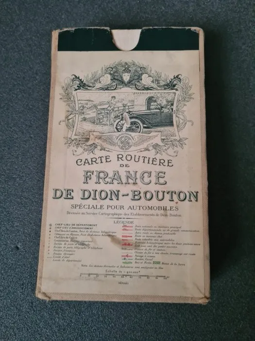
France - France; Dion Bouton - Cartes routières, automobiles, De Dion-Bouton, France - 1901-1920
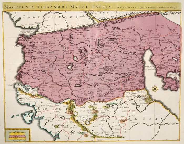
Greece - Macedonia; Covens Mortier - Macedonia Alexandri Magni Patria - 1721-1750
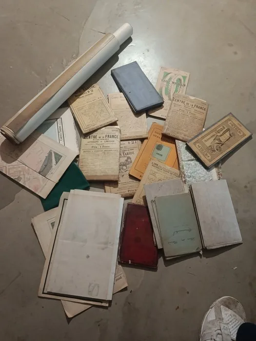
France - France; Différents - Ensemble de 26 cartes anciennes - 1901-1920
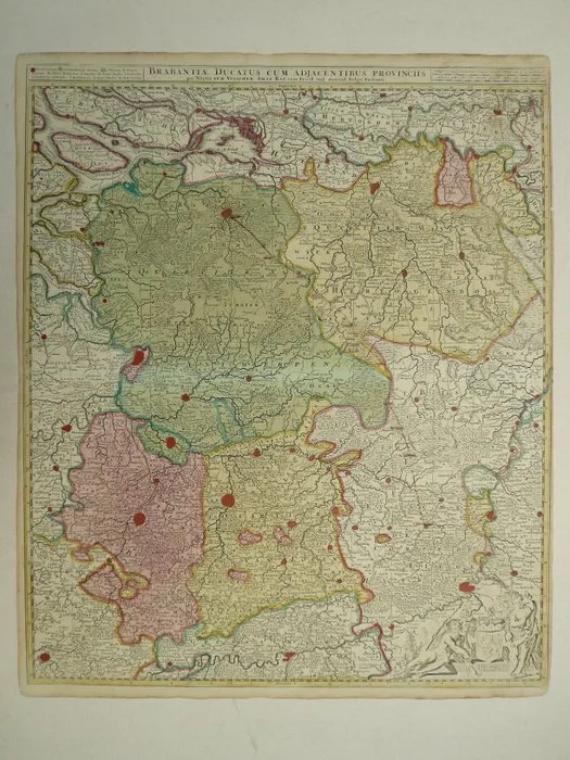
Netherlands - Brabant, Belgium; N. Visscher - Brabantiae Ducatus cum adjacentibus provinciis - 1681-1700
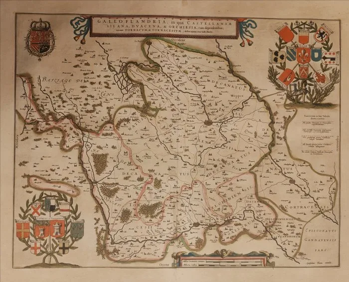
Belgio / Paesi Bassi / Francia - Lille, Douai, Orchies and Tournai / Tournaisis; Willem Jansz Blaeu (1571–1638) - Galloflandria, in qua Castellaniae Lilana, Duacena, & Orchiesia, cum dependentibus; necnon Tornacum - 1621-1650
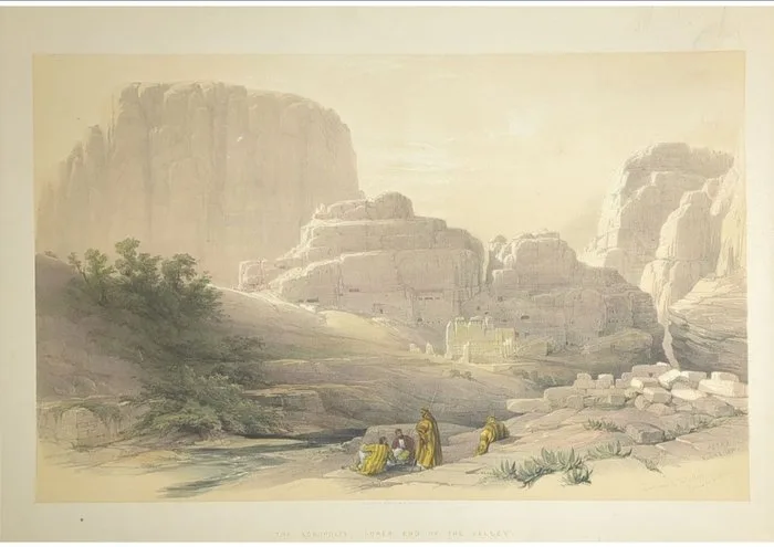
David Roberts (1796–1864) - Petra, Jordan — The Acropolis
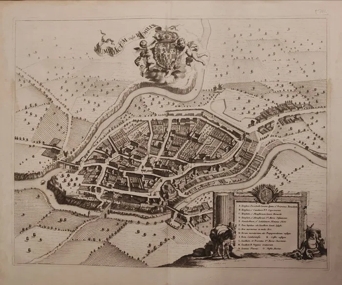
Francia / Ducato di Savoia - Rumilly; Giovanni Tommaso Borgonio / Eredi di Joan Blaeu - Rumiliacum vulgo Rumilli - 1681-1700
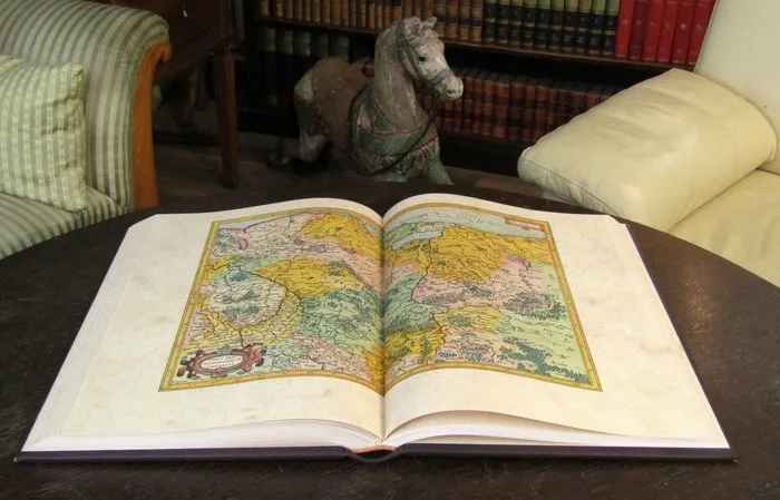
Mercator, Gerhard - Atlas Sive Cosmographicae Meditationes de Fabrica Mundi et Fabricati Figura 1595 - 2007
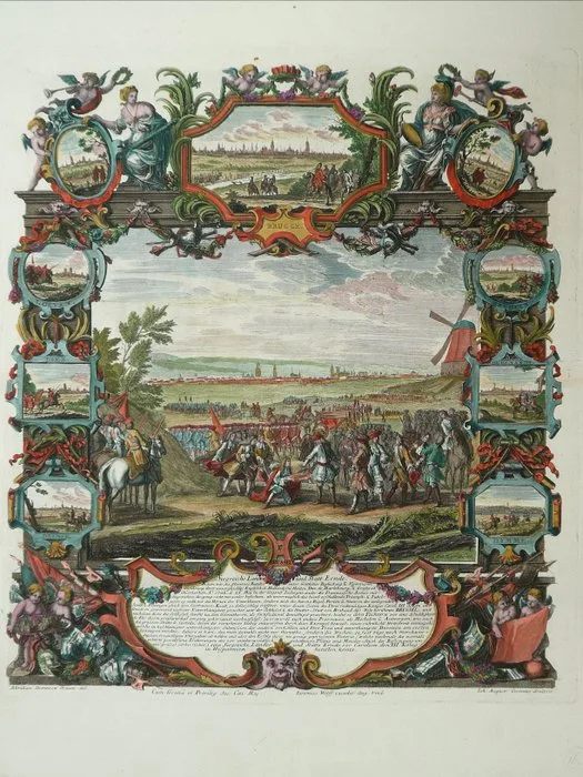
Belgium - Brugge Antwerpen / Gent / Leuven / Mechelen / Lier / Oudenaarde / Deinse / Damme / Brussel; J.A. Corvinus - Brugge / Brussel - 1701-1720
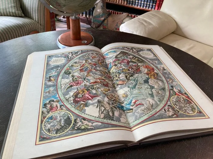
Cellarius - Himmelsatlas - Harmonia Macrosmica seu Atlas universalis et novus, totius universi vreati - 1660-2006
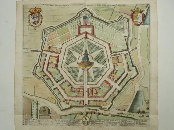
Belgium - Scherpenheuvel; Sanderus / J. Harrewijn. - Neapolis Montis-Acuti sive Aspricolensis in Brabantia vulgo Scerpenheuvel - 1721-1750
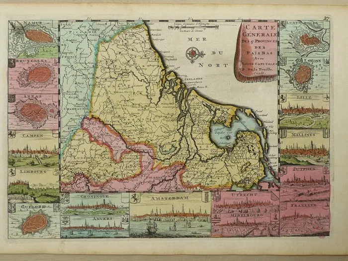
Netherlands - XVII Provinces; D. de la Feuille - Carte Générale des 17 Provinces des Pais Bas - 1701-1720
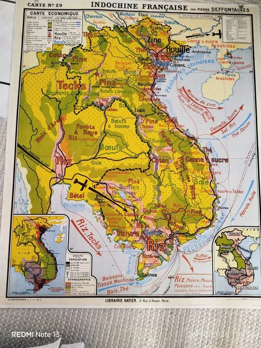
Asia - Indochine; Hatier - Grande carte ancienne « Indochine française » – Pierre Deffontaines – 120 × 100 cm - 1901-1920
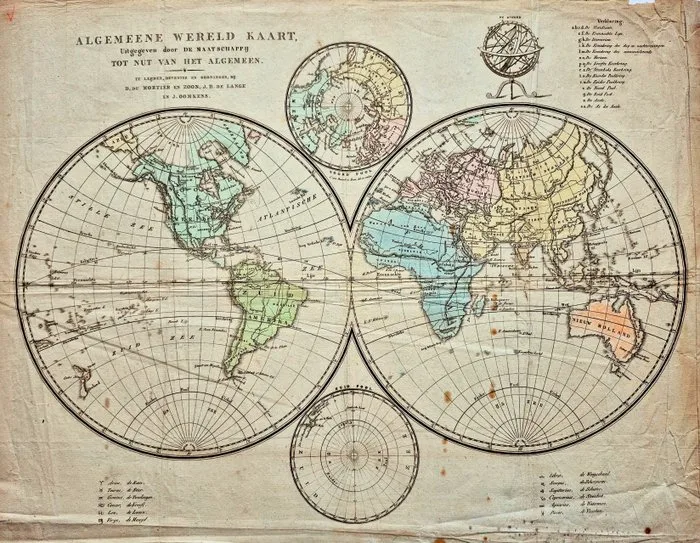
Wereld - World maps; D. du Mortier en Zoon te Leiden, J.H. de Lange en J. Oomkens te Deventer en Groningen - Algemene Wereldkaart – uitgegeven door Maatschappij tot Nut van ’t Algemeen - 1801-1820
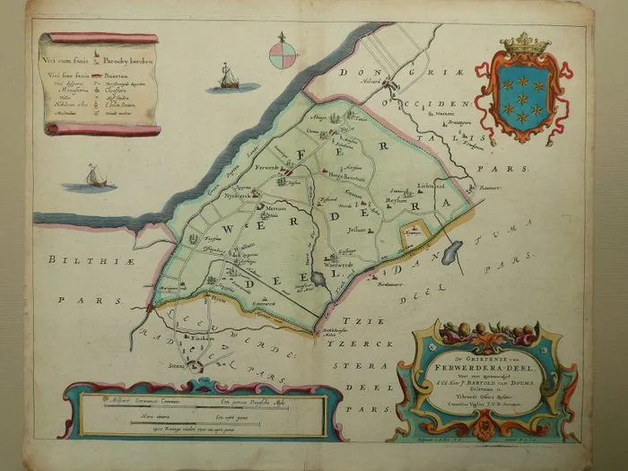
Netherlands - Friesland / Ferwerd / Stiens / Marrum; Bernard Schotanus à Sterringa - De grietenye van Ferwerdera-deel - 1661-1680
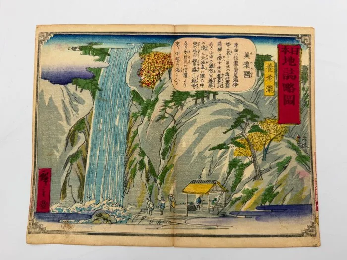
Asia - Japan; Utagawa Hiroshige III - “Yōrō Falls, Mino Province” from “Nihon Chishi Ryakuzu”, Antique Japanese Woodblock Print, Meiji Era - 1890
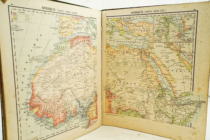
Niox & Eugène Darsy - Atlas de géographie, physique, politique et historique - 1890
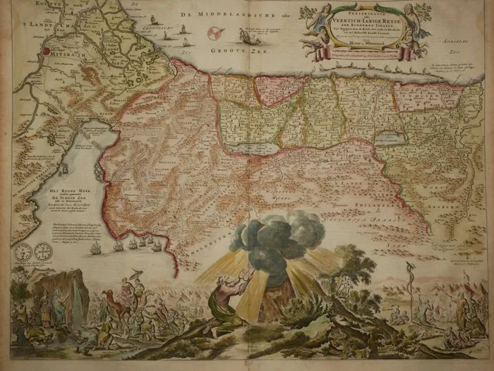
Israel - Egypt and Israel; Daniel Stoopendaal - Perigrinatie ofte Veertich-Jarige Reyse (..) - 1714
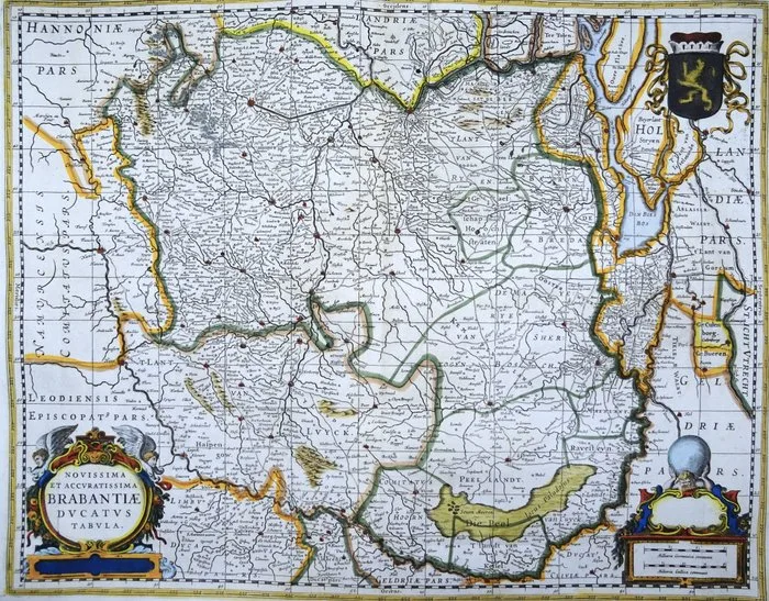
Netherlands - Belgium, Brabant, Brussels, Antwerp, Mechelen, Breda, Den Bosch, Eindhoven....; Jacques Le Roy / J. Hondius - Novissima et Accuratissima Brabantiae Ducatus Tabula - 1701-1720
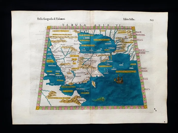
Asia - Middle East / Saudi Arabia / Oman / Qatar / Yemen / Emirates / Asia Minor; Rosaccio / Magini / Tolomeo - Tabula Asiae VI - 1581-1600
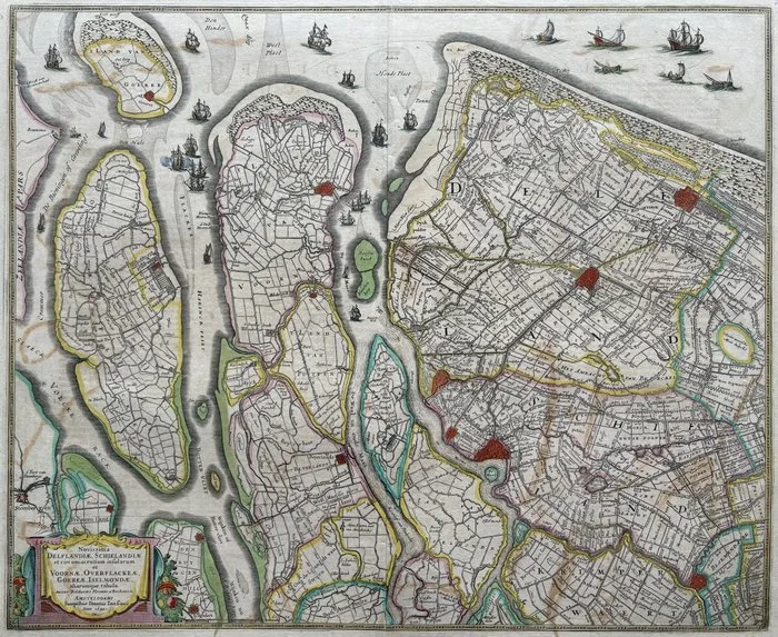
Netherlands - Delfland, Schieland, Voorne, Zuid-Hollandse Eilanden; J. Janssonius - Novissima Delflandiae, Schielandiae,... Voornae, Overflackae, Goereae, Iselmondae... - 1621-1650
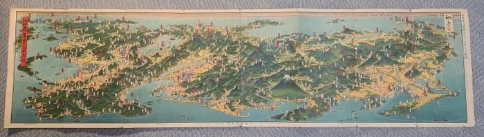
Japan - Honshu, Japan — Kinki and Tōkai regions; Yoshida Hatsusaburō - Bird's-Eye View of Kinki and Tōkai, Japan. Nihon Chōkan Kinki Tōkai Daizue (日本鳥瞰近畿東海大圖繪) - 1921-1950
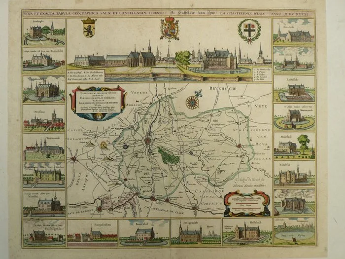
Belgium - Ieper; A. Sanderus - Nova exacta tabula geographica Salae et Castellaniae Iprensis - 1721-1750
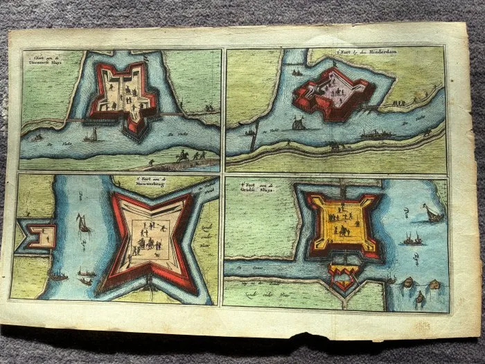
Netherlands - Aardenburg, Voorn,Vianen, Woerden,Oudewater,Ijsselstein, Wesel, Grave, Gennip, Emmerich,; Lieuwe van Aitzema or Jacob van Meurs - Platte Grondt van Aardenburg & Vestingsteden van de Hollandse Waterlinie (5 Folio Plates) - 1581-1600
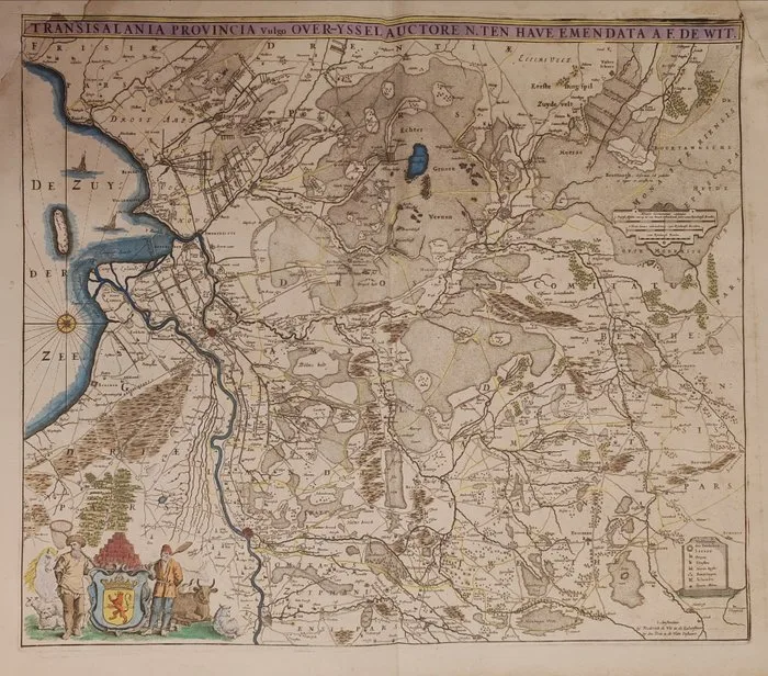
Paesi Bassi / Olanda - Province of Overijssel; Frederick de Wit (1629/30–1706) - Transisalania Provincia Vulgo Over-Yssel Auctore N. Ten Have Emendata a F. de Wit - 1681-1700
Israel - Egypt and Israel; Daniel Stoopendaal - Perigrinatie ofte Veertich-Jarige Reyse (..) - 1714
De Nederlanden - The Netherlands, Belgium, Luxembourg; Joan Blaeu - Blaeu's Atlas van de Nederlanden - 1973
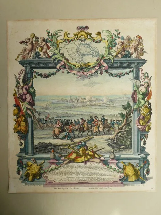
Belgium - Menen; J.A. Corvinus - Menin - 1701-1720
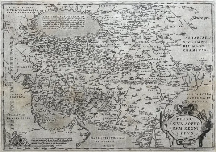
Midden Oosten - Iraq, Iran, Afghanistan; A. Ortelius - Persici sive Sophorum Regni Typus - 1581-1600
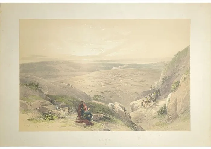
David Roberts (1796–1864) - Cana of Galilee, Israel — Holy Land, 1844
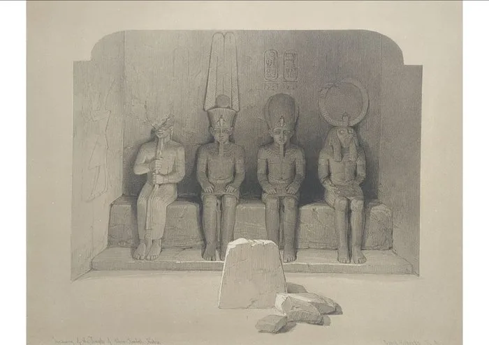
David Roberts (1796–1864) - Abu Simbel — Sanctuary of the Great Temple
What is in Maps
Most maps here are original sheets from printed atlases and books made between the late 1400s and 1800. Leaves from Hartmann Schedel's Nuremberg Chronicle of 1493 are among the earliest. Sixteenth-century work includes Sebastian Münster, Abraham Ortelius and Italian editions of Ptolemy; the seventeenth century brings Mercator and Hondius, Bertius and the Sansons; the eighteenth century Homann, Chatelain, Bonne and De L'Isle. Subjects range from world maps and sea charts to regional maps of Italy, Spain, France, Germany and the East Indies, California drawn as an island, city views and natural history leaves.
Reading a listing
- Cartographer: the mapmaker or publisher.
- Date range: the period of the atlas edition the sheet comes from.
- Height and width: sheet size in centimetres; many are around 35 to 50 cm.
- Condition: usually good or excellent.
What to check before buying
Colour on antique maps is either original, applied by hand when the map was issued, or added later. Both are common, and original colour is generally worth more. A vertical centrefold is normal, because most maps were bound into atlases. Look for margins wide enough to frame, tears or repairs along the fold, browning, and text printed on the back, which shows the map came from a book. Frame with acid-free mounts and UV-filtering glass to keep the colour from fading.
Prices
Most maps here are between EUR 390 and EUR 1,200.
Frequently asked questions
How can I tell an antique map from a reproduction?
Original copperplate maps show a plate mark and slightly raised printed lines, and woodcuts show a pressed-in impression. Old hand-made paper shows chain lines when held against light, and many maps have atlas text printed on the back. Reproductions usually show a dot pattern from modern printing under a magnifier and are on smooth, uniform paper.
Is a centrefold a defect on an old map?
No. Most antique maps were printed for atlases and bound in along a central fold, so a vertical fold is expected and normal. What matters is whether the fold has split, been repaired or discoloured. Collectors accept a clean original fold without any reduction in value.
Why did old maps show California as an island?
From the early 1600s, many European maps drew California as a large island separated from the mainland, a mistake based on early Spanish reports that was copied from map to map. The error lasted into the mid-1700s. Maps showing California as an island are a popular collecting theme in their own right.