Maps
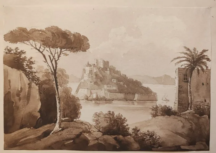
Italy - Ischia Island, Gulf of Naples; Anonimo - Veduta del Castello Aragonese - Acquerello originale a seppia - 1821-1850
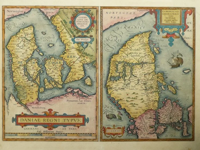
Denmark - Copenhagen / Sweden / Jylland; Abraham Ortelius - Daniae regni Typus / Cimbricae Chersonesi nunc Jutiae - 1581-1600
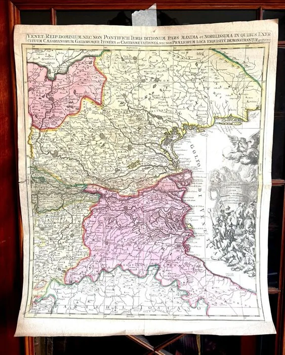
Netherlands - Amsterdam; Pieter Schenk - Venet. Reip. Dominium nec non Pontificii Iuris... Repubblica di Venezia - 1701-1720
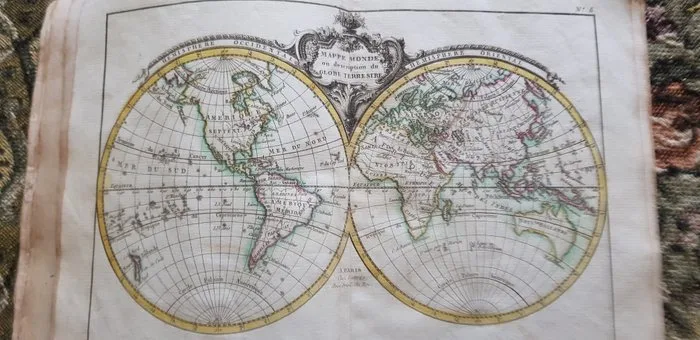
World Atlas 1787 America - Europe - Asia - Africa - World atlas; Jean Lattré - Petit Atlas Moderne ou Collection de Cartes Elémentaires. - 1781-1800
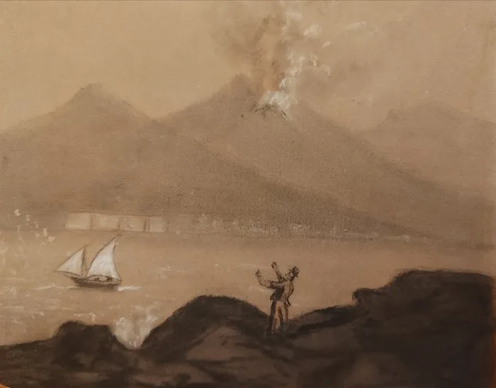
Italy - Gulf of Naples, Vesuvius; Anonimo - Veduta del Vesuvio in eruzione" - Disegno originale a carboncino e gessetto - 1821-1850
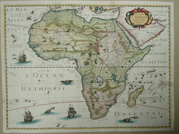
Africa - Madagascar; Pierre D’Avity - Carte de L'Afrique - 1621-1650
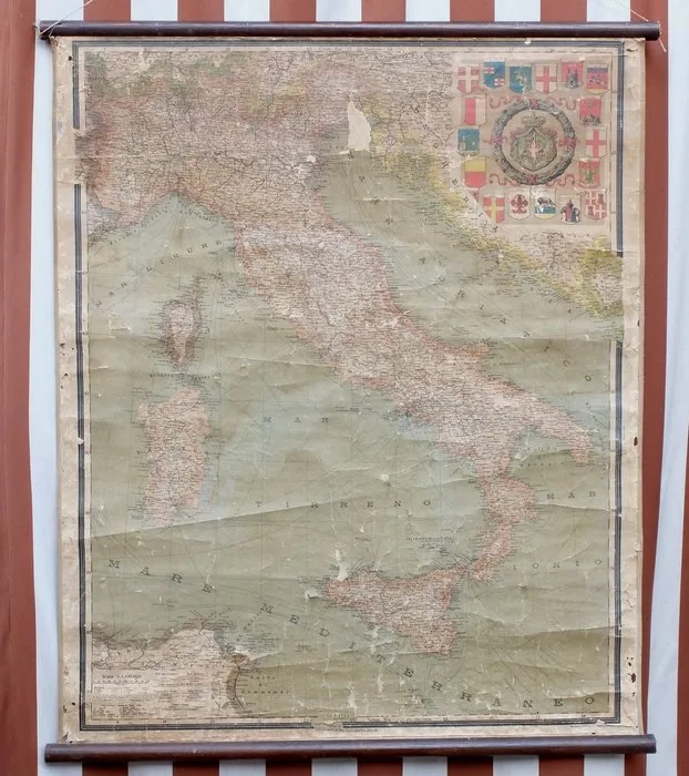
Italy - Italy; Istituto Italiano Arti Grafiche - Bergamo - Italia - 1901-1920
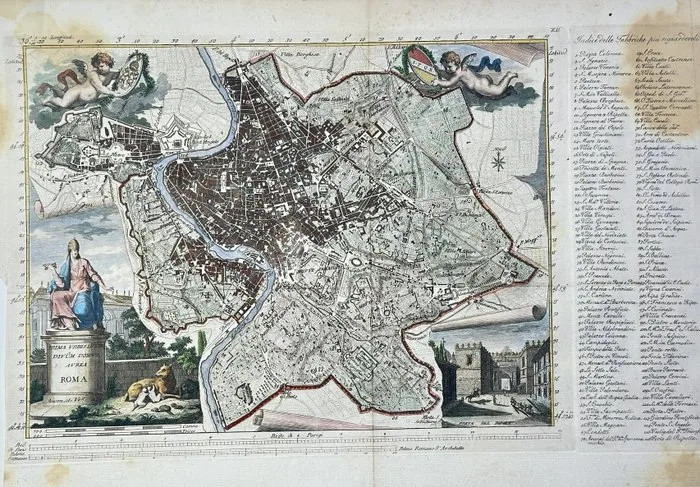
Italy - Rome; Peter Schenk the Younger - Rome / Roma - 18th century
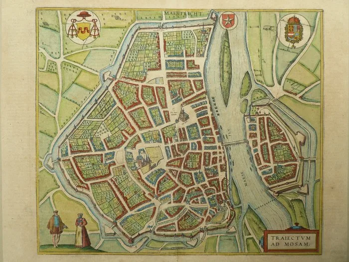
Europe - Netherlands / Maastricht; Georg Braun, Frans Hogenberg - Traiectum ad Mosam - 1575
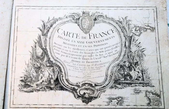
France - First modern map of France; Cassini - Carte de France divisée en XXXI gouvernements militaires et en ses provinces, dressée sur les - 1751-1760
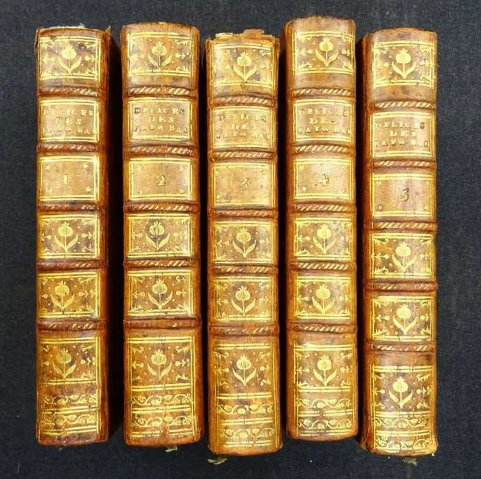
Foppens / Harrewijn - Les Delices des Pais-Bas contenant la Description des XVII Provinces...tome 1-5 COMPLEET! - 1785-1785
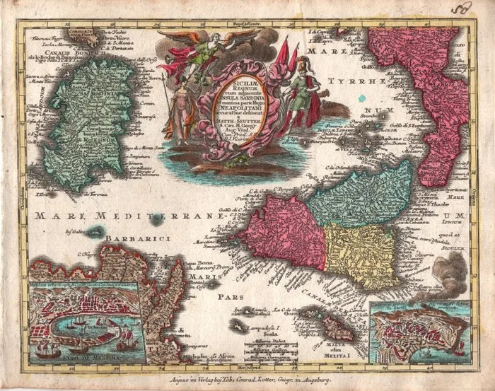
Italy - Sicily, Sardinia, Southern Italy; Seutter, Georg Matthaus (1678-1757) - Siciliae Regnum cum adjacente Insula Sardinia et maxima parte Regni Neapolitani - 1721-1750
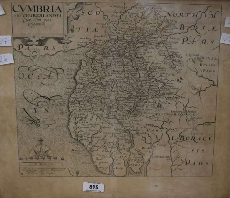
After Christopher Saxton (British 1540-1610) A map depicting the historic county of Cumbria in latin, within a moulded wooden frame
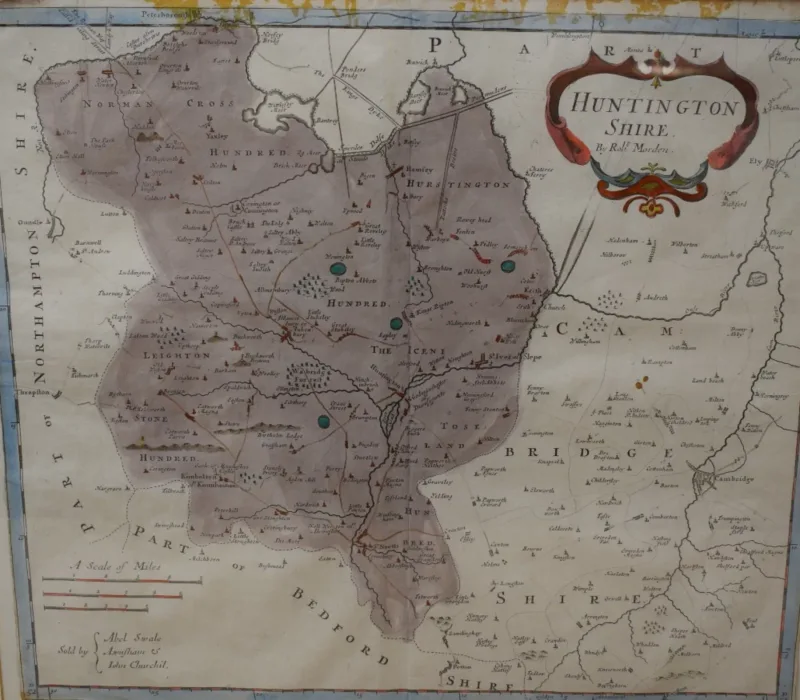
After Robert Morden (British 1650 - 1703) Colourised map depicting the historic county of 'Huntington Shire', ' within a card mount and moulded frame
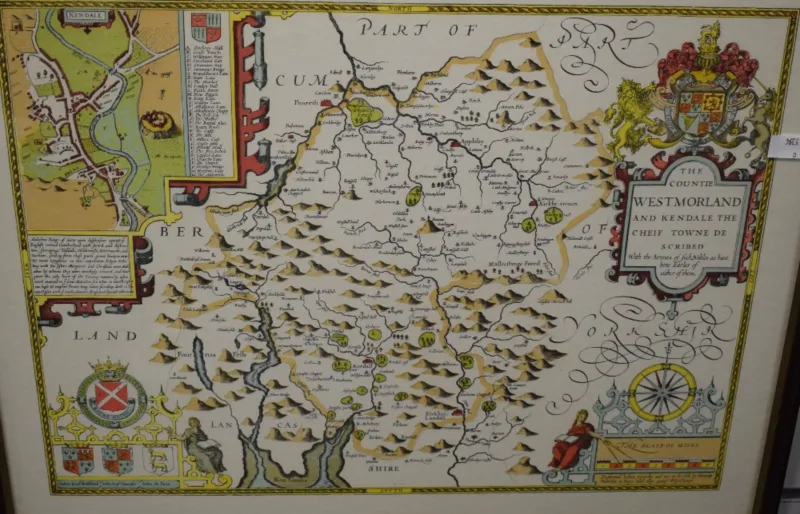
After John Speed (British 1552-1629) A Hand colourised map 'The Countie Westmorland and Kendal the Chief Town Described', within a moulded wooden frame
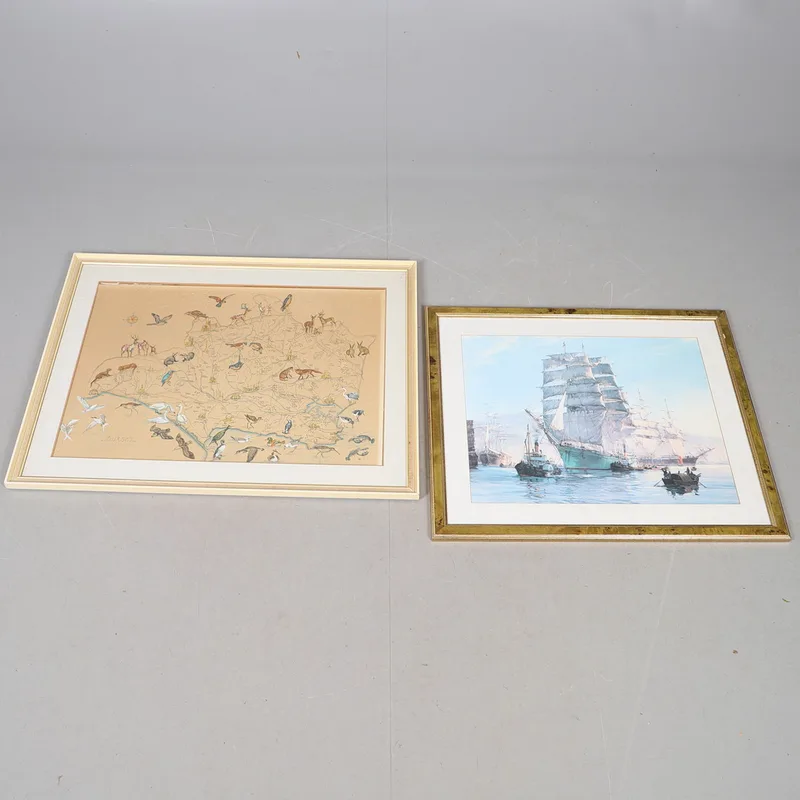
A MID-20TH Century Hand-Coloured Map of Dorset After b. Moore; And a Print of a Clipper in a Harbour (2)
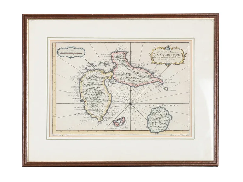
Jacques Nicolas Bellin (1703-1772) Carte de L`isle de la Guadeloupe Pour Servir a L`histoire Generale des Voyages
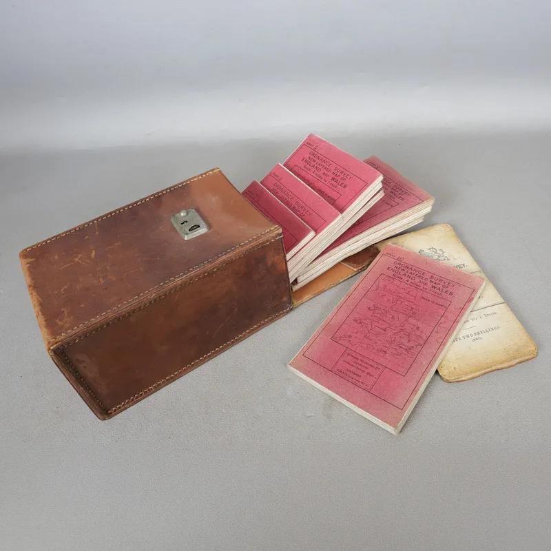
A Cased Set of Ordnace Survey Maps
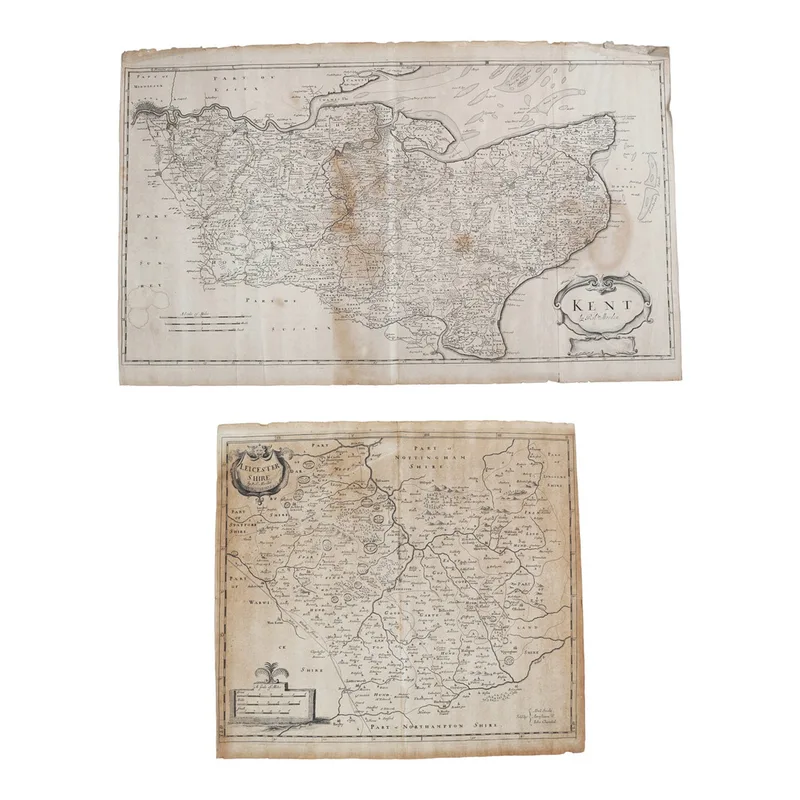
Morden (Robert). Maps of Leicestershire and of Kent. (2)
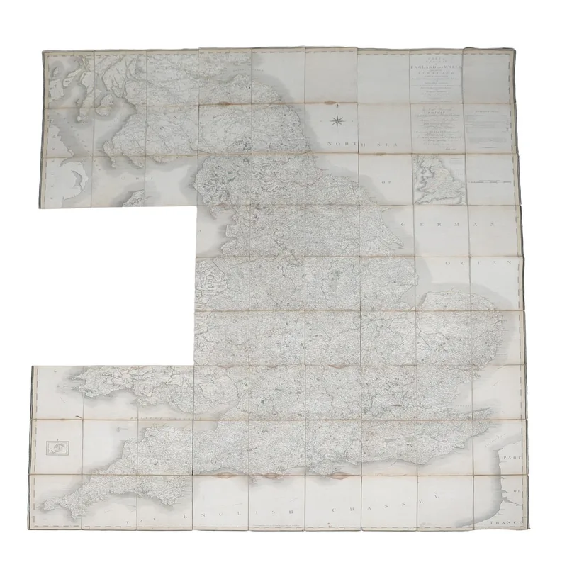
Cary's New Map of England and Wales, with Part of Scotland, Published 1794, Folding Map on Linen
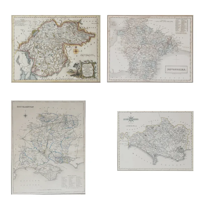
4 Framed Coloured and Engraved Maps