Cary's New Map of England and Wales, with Part of Scotland, Published 1794, Folding Map on Linen
Only one available — a single, individual piece.
Ships by Monday 30 November from the United Kingdom.
- Secure payment at checkout
- 14-day returns · shipping info
Cary's New Map of England and Wales with part of Scotland on which are carefully laid down, London, Published June 11th 1794 by J. Cary, To the Right Honourable Philip Earl of Chesterfield and Baron Stanhope and Thomas Baron Walsingham, in eight folding sections on linen, (one section missing), with outer card case, the map 227 cm long x 180 cm wide approx. Condition: With a couple of notable stains to the map, some tears to the linen, general discolouration to the map consistent with age and use, the outer card case with parts missing, one section of the map is missing.
More from Maps
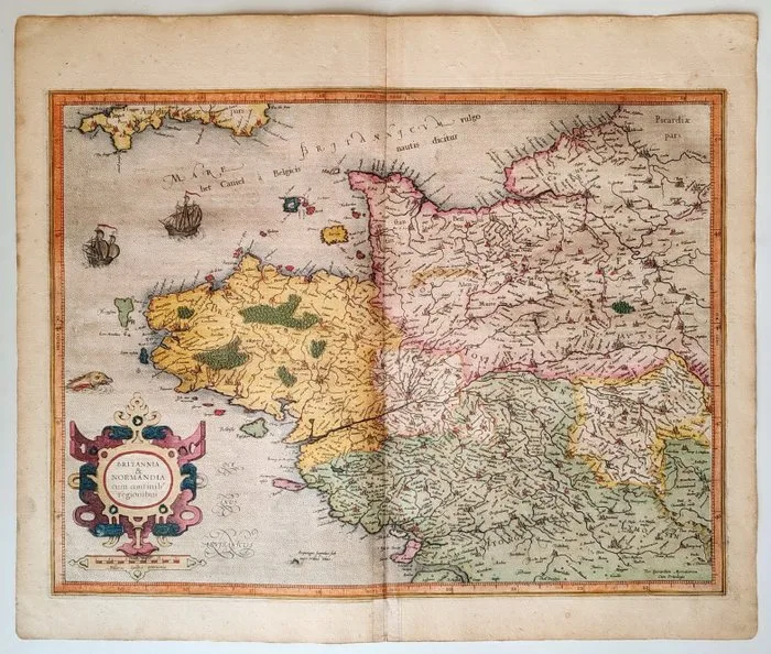
France - Brittany, Normandy; Gérard Mercator / Jodocus Hondius - Britannia & Normandia cum consinib' regionibus - 1606
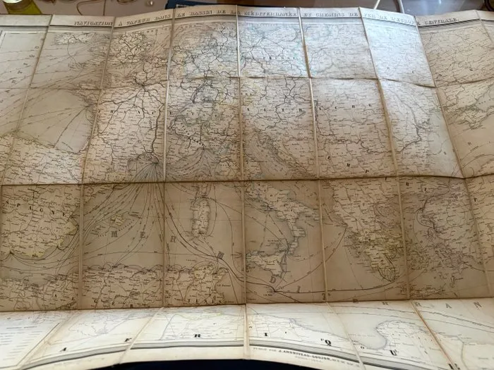
London - Mediterranean - 1850-1880
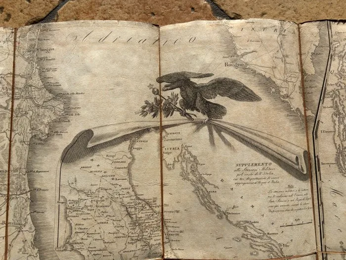
Europe - Napoleonic Kingdom of Italy; Istituto geografico militare - Carta Delle Stazioni Militari, Navigazione E Poste Del Regno D'Italia Eseguita Nel Deposito Generale - 1801-1820
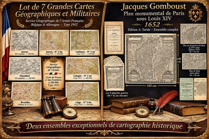
Cartographe du roi. - Plan monumental de Paris sous Louis XIV et 7 grandes cartes géographiques et militaires anciennes.. - 1652-1935
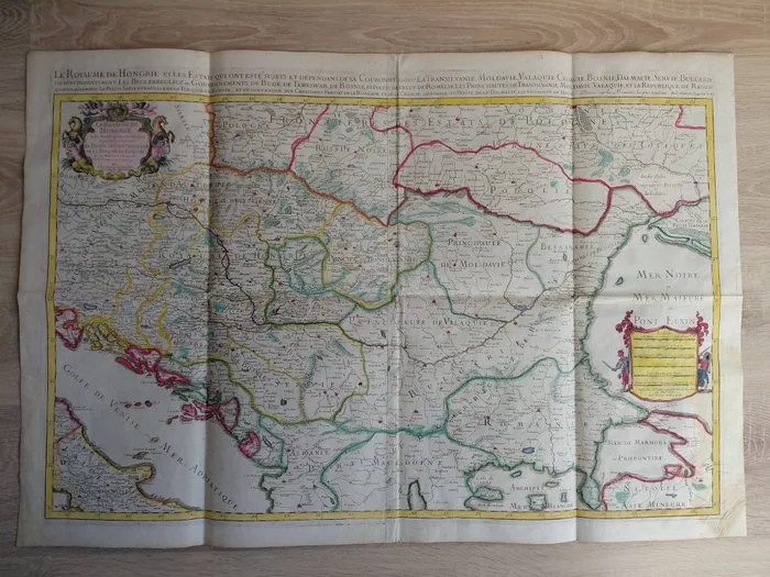
Hungary - Kingdom of Hungary; Nicolas Sanson/Alexis-Hubert Jaillot - Le Royaume de Hongrie et les Estats qui ont esté sujets et dépendans de sa Couronne/Atlas Nouveau - 1701-1720
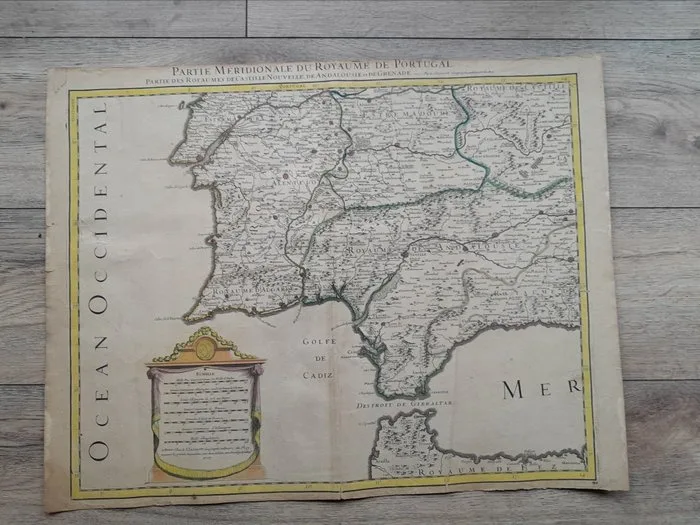
Alexis Hubert Jaillot - Carte du XVIIe siècle du sud du Portugal et des royaumes de Castille,d'Andalousie et de Grenade - 1692