Four 18th and Early 19th Century Hand Coloured Engraved Maps & Plates
Only one available — a single, individual piece.
Ships by Thursday 26 November from the United Kingdom.
- Secure payment at checkout
- 14-day returns · shipping info
An assortment of four 18th and early 19th century hand coloured engraved maps and topographical plates. The set to include two J. Clay engraver Glocestershire, 1806, and Shropshire, 1814 maps. Together with two pages from the 1764 Britannia Depicta of Ludlow and Hereford, and The Road from Bristol to Westchester. Each mounted, framed, and glazed (one unglazed). Largest framed measures approx. 31cm x 23cm.
More from Maps
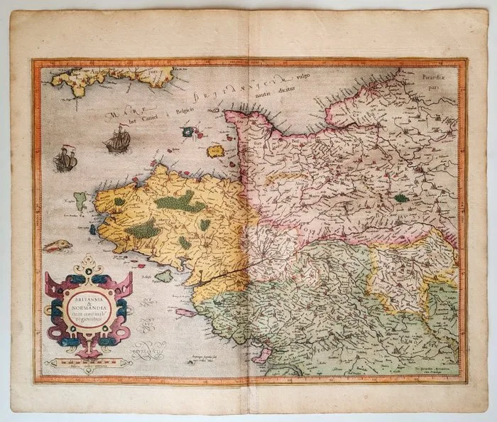
France - Brittany, Normandy; Gérard Mercator / Jodocus Hondius - Britannia & Normandia cum consinib' regionibus - 1606
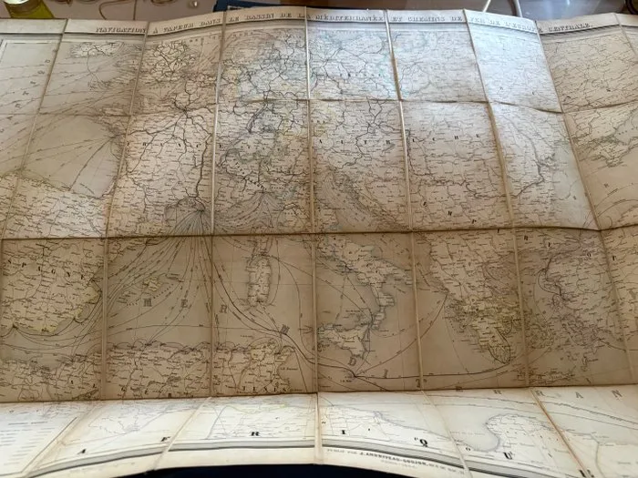
London - Mediterranean - 1850-1880
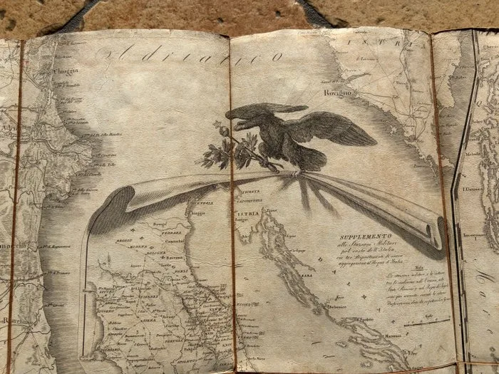
Europe - Napoleonic Kingdom of Italy; Istituto geografico militare - Carta Delle Stazioni Militari, Navigazione E Poste Del Regno D'Italia Eseguita Nel Deposito Generale - 1801-1820
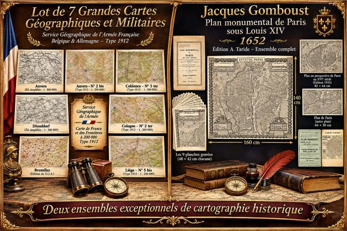
Cartographe du roi. - Plan monumental de Paris sous Louis XIV et 7 grandes cartes géographiques et militaires anciennes.. - 1652-1935
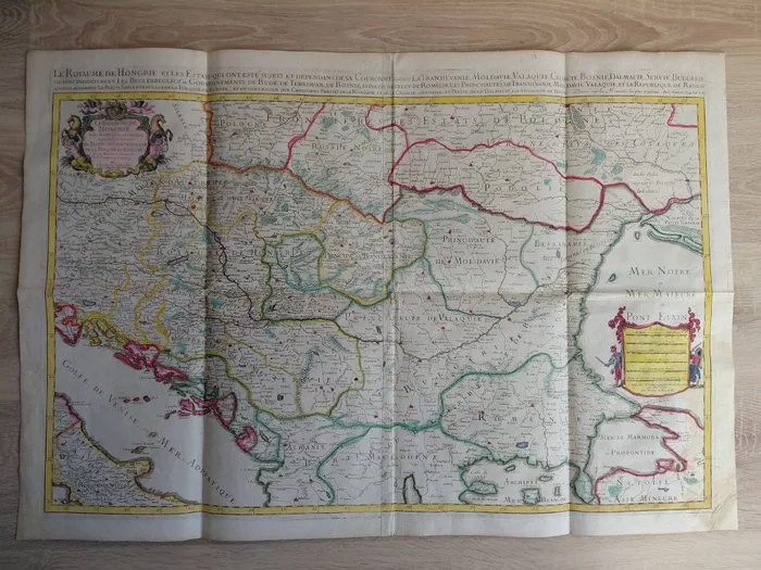
Hungary - Kingdom of Hungary; Nicolas Sanson/Alexis-Hubert Jaillot - Le Royaume de Hongrie et les Estats qui ont esté sujets et dépendans de sa Couronne/Atlas Nouveau - 1701-1720
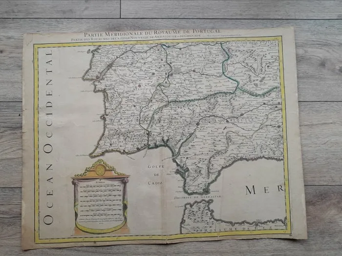
Alexis Hubert Jaillot - Carte du XVIIe siècle du sud du Portugal et des royaumes de Castille,d'Andalousie et de Grenade - 1692