The Balkans - The Danube River; H. Chatelain - Carte ancienne et moderne des differents etats et païs situez au long du Danube, pour servir a - 1701-1720
Only one available — a single, individual piece.
Ships by Wednesday 7 October.
H. Chatelain’s copper‑engraved map Carte ancienne et moderne des differents etats et païs situez au long du Danube, pour servir a l'Intelligence de l'Histoire, of the Balkans along the Danube, Amsterdam, 1720, with later hand colour and good condition; engraving 35.5 × 45.5 cm and paper 45.5 × 54.5 cm.
- Secure payment at checkout
- 14-day returns · shipping info
| Condition | Good |
|---|---|
| Cartographer | H. Chatelain |
| Height | 45.5 cm |
| Width | 54.5 cm |
More from Maps
![Italy - Venice; Imago Editore - Mappamondo di Fra' Mauro [edizione in facsimile] - 1441-1460](https://img.fancybonnet.com/8747076e-00b1-4f0a-9be0-955b1938681a/card.webp)
Italy - Venice; Imago Editore - Mappamondo di Fra' Mauro [edizione in facsimile] - 1441-1460
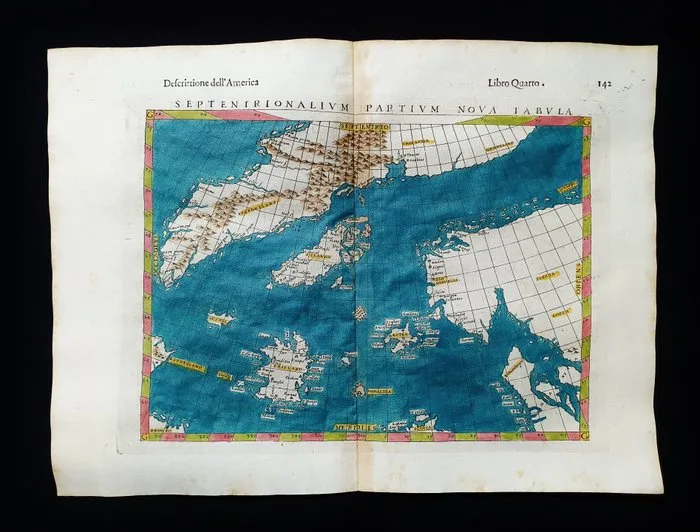
North Sea - North Europe / Glacial Sea / Iceland / Norway / Scandinavia; Rosaccio / Magini / Tolomeo - Septentrionalium Partium, Nova Tabulae - 1581-1600
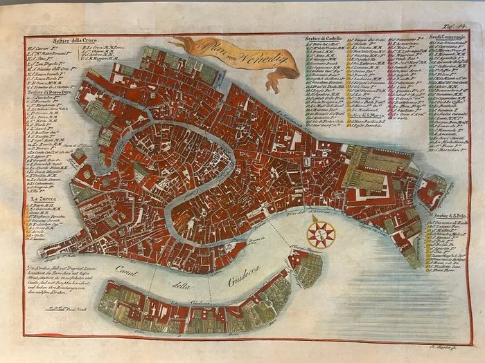
Italy - Venice; Johann (Joannes) Paszka; attivo a Praga nella metà del XVIII Secolo, ca. 1740-1770). - Plan von Venedig (Pianta di Venezia) - 1721-1750
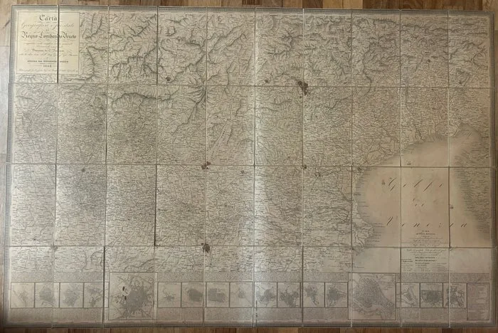
Italy - Kingdom of Lombardy-Venetia; Giovanni Brenna (direzione), C. Pinchetti (disegno), Giuseppe Pezze (incisione) - Carta Geografica e Postale del Regno Lombardo-Veneto Compilata sulle migliori carte generali e - 1821-1850
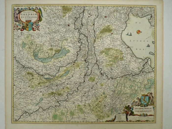
Netherlands - Gelderland; Nicolaas Visscher - Ducatus Geldriae et Zutphaniae Comitatus - 1684
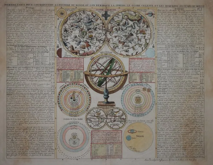
Celestial - Celestial chart.; Henri Abraham Chatelain - Globe Celeste - 1701-1720