Railway maps. Two Railway Clearing maps, for Ireland & Yorkshire
Only one available — a single, individual piece.
Ships by Saturday 7 November from the United Kingdom.
- Secure payment at checkout
- 14-day returns · shipping info
Railway maps. Two Railway Clearing maps, being 1927 Official Railway Map of Ireland, thirty segments backed on linen, some toning along the folds, measures 121cm x 78cm; and 1914 Official Railway Map of the Yorkshire District - north sheet, twenty-eight segments backed on linen, stamp to the title, 106cm x 64cm. Each in the original gilt titled leatherette boards, Ireland map smart, the Yorkshire map tape reinforced and worn to the spine, the board edges rubbed and tired. Ownership inscription and stamp to the front pastedown of Yorkshire; stamp and pencil inscriptions to the front pastedown of the Irish copy. (2)
More from Maps
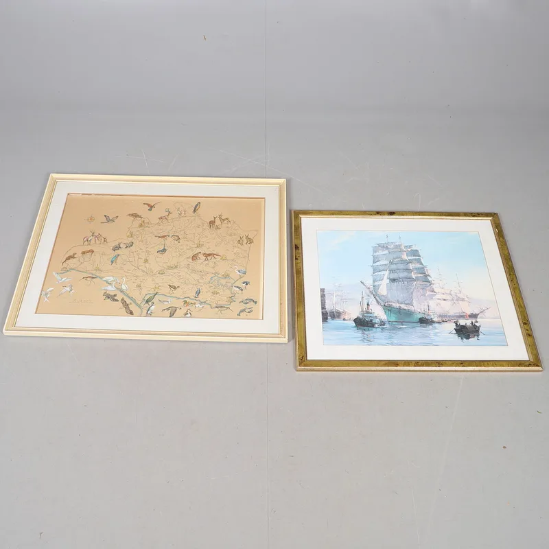
A MID-20TH Century Hand-Coloured Map of Dorset After b. Moore; And a Print of a Clipper in a Harbour (2)
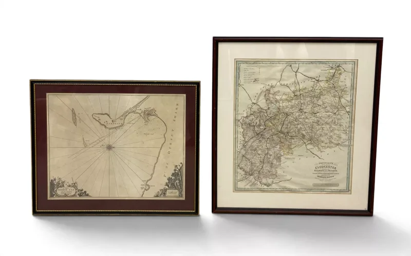
A pair of maps, one large contemporary OS map of Gloucester, glazed and framed and a Dorset coast chart of Cheshil Beach, Portland,Weymouth, after Collin 1693
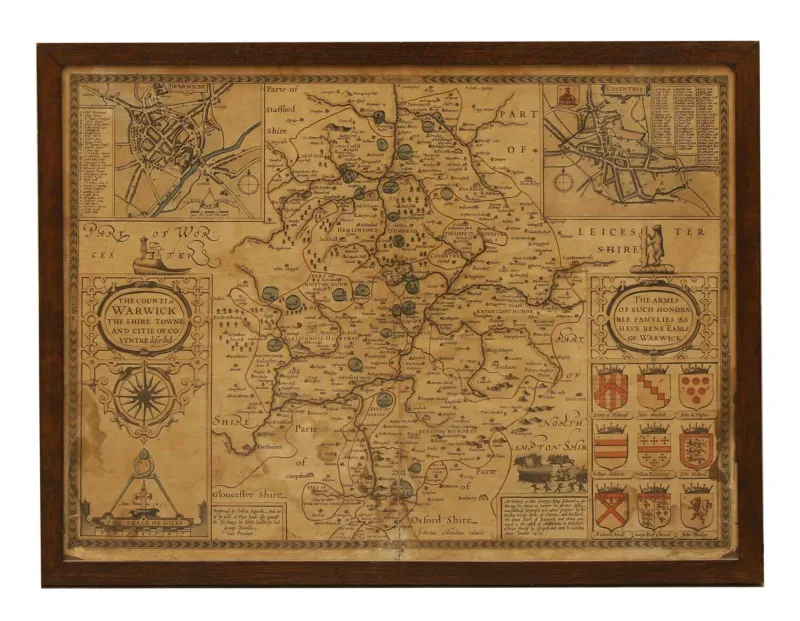
A John Speede map of Leicestershire, (1690) hand coloured, within two panel glazed wooden frame
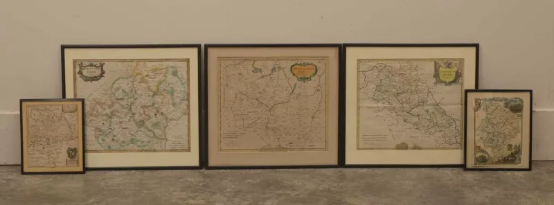
A collection of Hertfordshire maps, 17th century and later, including Huntingdonshire, by W
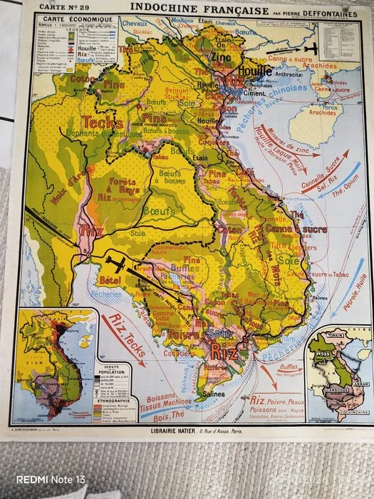
Asia - Indochine; Hatier - Grande carte ancienne « Indochine française » – Pierre Deffontaines – 120 × 100 cm - 1901-1920
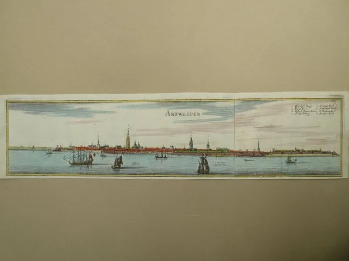
Belgium - Antwerp; M. Merian - Antwerpen - 1659