John Wilkes (British, 1750-1810), Set of Eight 18th / 19th Century County Maps (8)
Only one listing available — 8 pieces.
Ships by Monday 9 November from the United Kingdom.
- Secure payment at checkout
- 14-day returns · shipping info
John Wilkes (British, 1750-1810), Set of eight 18th / 19th Century county maps, Includes; Derbyshire, Devonshire, Lancashire, Cheshire, Bedfordshire, Dorsetshire, Cumberland & Cornwall, All framed and glazed, 24.5cm x 19cm, frame measures 34.5cm x 24.5cm. (8). Condition: Maps appear largely good, toning as expected, frames okay, at least one frame splitting.
More from Maps
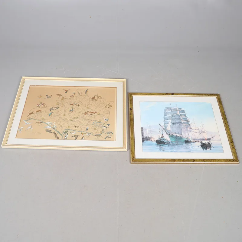
A MID-20TH Century Hand-Coloured Map of Dorset After b. Moore; And a Print of a Clipper in a Harbour (2)
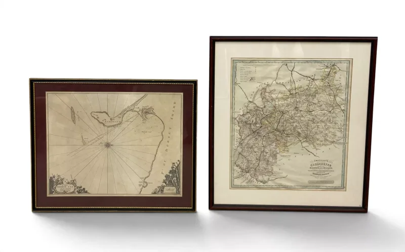
A pair of maps, one large contemporary OS map of Gloucester, glazed and framed and a Dorset coast chart of Cheshil Beach, Portland,Weymouth, after Collin 1693
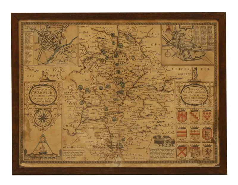
A John Speede map of Leicestershire, (1690) hand coloured, within two panel glazed wooden frame
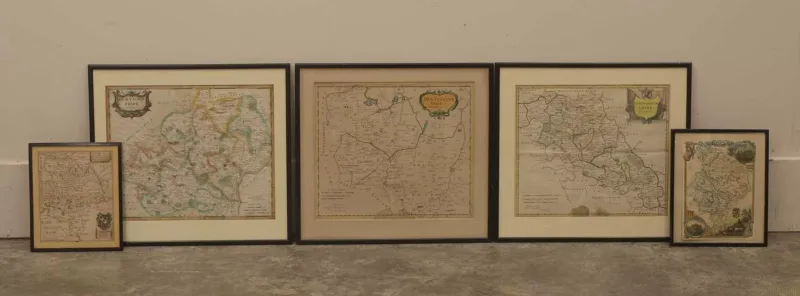
A collection of Hertfordshire maps, 17th century and later, including Huntingdonshire, by W
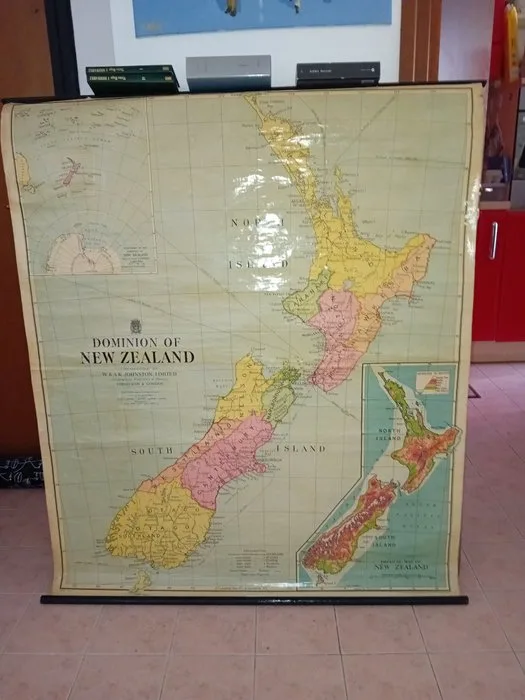
Australia - PACIFIC OCEAN; W AK JOHNSTON - NEW ZEALAND 1930 VINTAGE SCHOOL MAP - 1921-1950
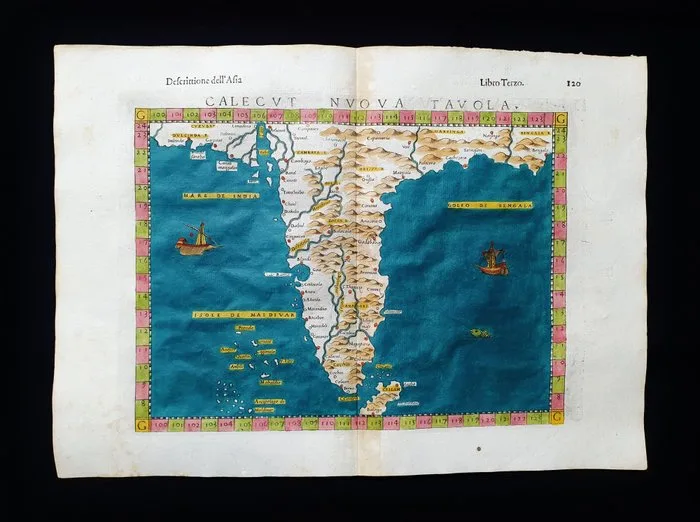
Asia - India, Sri Lanka, Pakistan, Asia; Ruscelli - Magini - Malombra - Tolomeo - Calecut Nuova Tavola - 1581-1600