Italy - Tuscany / Umbria, Marche, Lazio / Elba Island; Nicolas de Fer (1646–1720) - Les Estats de l'Eglise, et de Toscane (Gli Stati della Chiesa e di Toscana). - 1721-1750
Only one available — a single, individual piece.
Ships by Tuesday 17 November from the EU.
- Secure payment at checkout
- 14-day returns · shipping info
Nicolas de Fer’s copper-engraved, contemporarily hand-coloured map *Les Estats de l’Eglise, et de Toscane* depicts Tuscany, Umbria, the Marches, Lazio and Elba in early eighteenth-century Italy.
| Condition | Good |
|---|---|
| Cartographer | Nicolas de Fer (1646–1720) · More Nicolas de Fer |
| Height | 34 cm |
| Width | 22.5 cm |
More from Maps
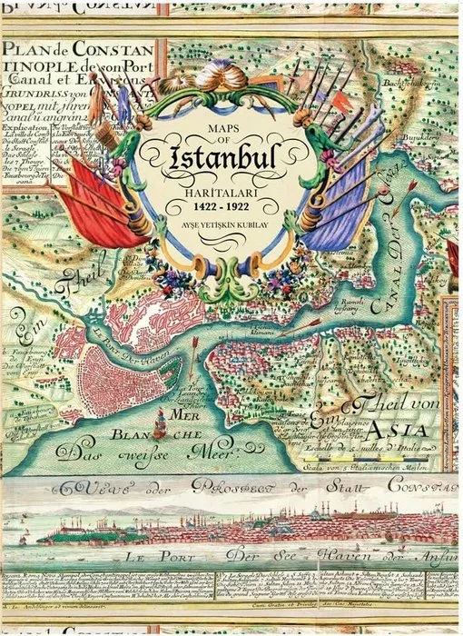
Ayse Yetiskin Kubilay - Maps of Istanbul, 1422-1922 = Istanbul Haritalari, 1422-1922 (Preface By: Ilber Ortayli) - 2010
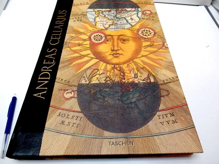
The Universe - Atlas of the Heavens; Andreas Cellarius - Andreas Cellarius Harmonia Macrocosmica of 1660 - 1651-1660
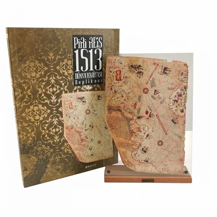
Türkiye - Wold Map; PIRI REIS - Piri Reis 1513 World Map Replica (Exclusive&Limited Edition) - 1501-1520
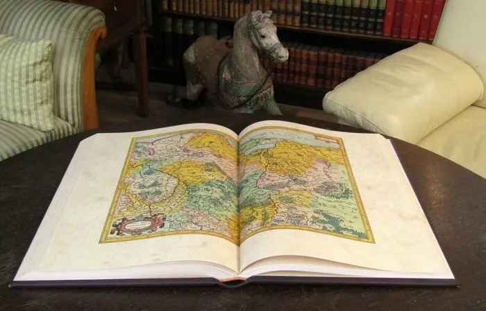
Mercator, Gerhard - Atlas Sive Cosmographicae Meditationes de Fabrica Mundi et Fabricati Figura - 1595 - 2007
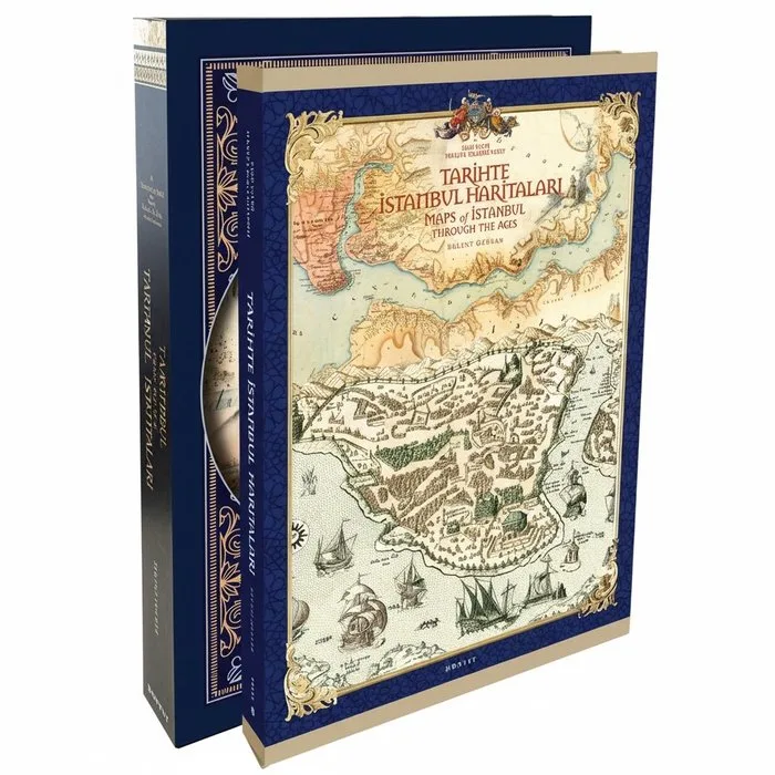
Bülent Özükan - Tarihte Istanbul Haritaları / Maps of Istanbul Through the Ages - 2020
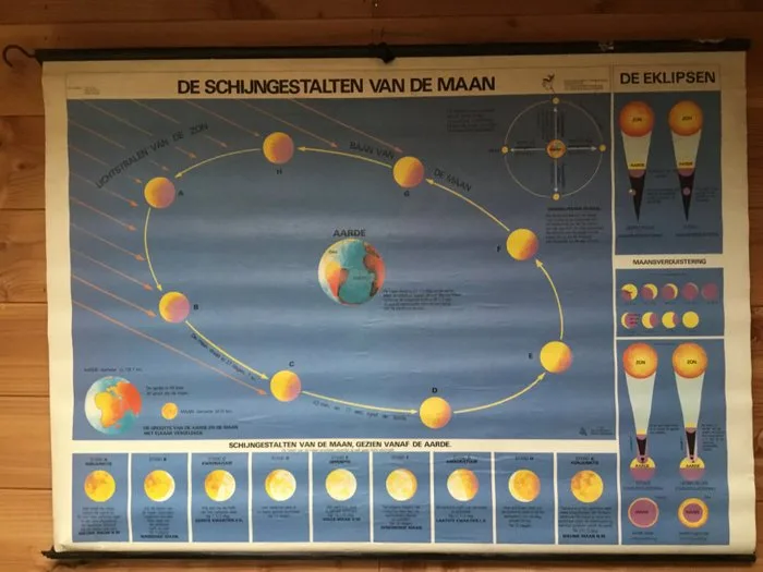
Hebri - Old-school astronomy chart, solar system, Moon phases. - F.Boehoe, H Brinkman, VMA Borstel - School map - Laminated paper