France - Batch of 5: France after the French Revolution and Separate Provinces; Robert de Vaugondy/ Charles Francois Delamarche - La France - Normandie, Bretagne/ Berri, Nivernois, Bourbonois,/ Poitou, Aunis/ Haut et Bas - 1781-1800
Only one listing available — 5 pieces.
Ships by Tuesday 29 September.
Batch of 5 maps of France from the late 18th century, including Normandie, Bretagne, Berri, Nivernois, Bourbonois, Poitou and Haut et Bas Rhin, drawn by Robert de Vaugondy and corrected by Charles Francois Delamarche, published in the Nouvel Atlas Portatif and coloured by hand, dating to 1795 (L'An III), on reasonable condition with an original fold and large margins. Cartographer: Robert de Vaugondy/ Charles Francois Delamarche. Height: 24 mm. Width: 27 cm.
- Secure payment at checkout
- 14-day returns · shipping info
| Condition | Reasonable |
|---|---|
| Cartographer | Robert de Vaugondy/ Charles Francois Delamarche |
| Height | 2.4 cm |
| Width | 27 cm |
More from Maps
![Italy - Venice; Imago Editore - Mappamondo di Fra' Mauro [edizione in facsimile] - 1441-1460](https://img.fancybonnet.com/8747076e-00b1-4f0a-9be0-955b1938681a/card.webp)
Italy - Venice; Imago Editore - Mappamondo di Fra' Mauro [edizione in facsimile] - 1441-1460
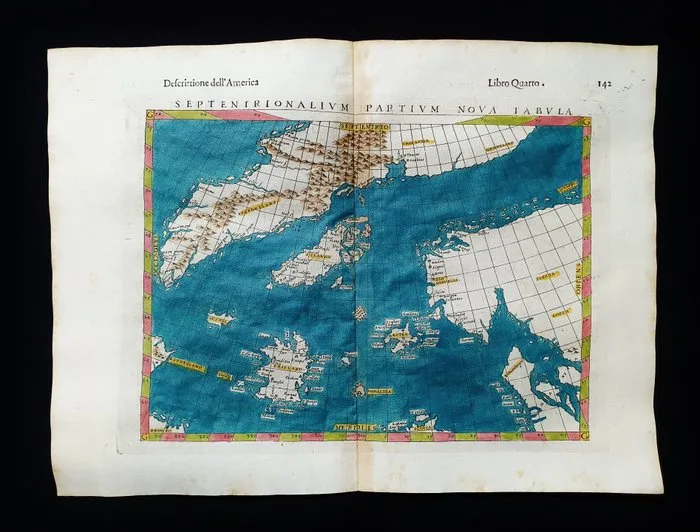
North Sea - North Europe / Glacial Sea / Iceland / Norway / Scandinavia; Rosaccio / Magini / Tolomeo - Septentrionalium Partium, Nova Tabulae - 1581-1600
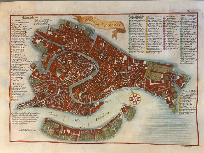
Italy - Venice; Johann (Joannes) Paszka; attivo a Praga nella metà del XVIII Secolo, ca. 1740-1770). - Plan von Venedig (Pianta di Venezia) - 1721-1750
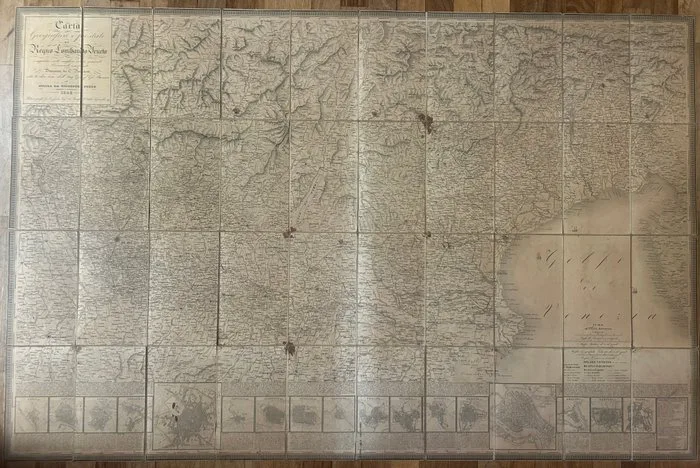
Italy - Kingdom of Lombardy-Venetia; Giovanni Brenna (direzione), C. Pinchetti (disegno), Giuseppe Pezze (incisione) - Carta Geografica e Postale del Regno Lombardo-Veneto Compilata sulle migliori carte generali e - 1821-1850
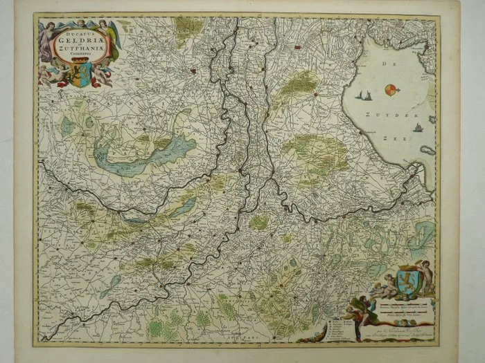
Netherlands - Gelderland; Nicolaas Visscher - Ducatus Geldriae et Zutphaniae Comitatus - 1684
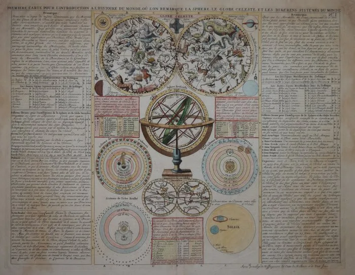
Celestial - Celestial chart.; Henri Abraham Chatelain - Globe Celeste - 1701-1720